Coltons Point in St. Mary's County, Maryland — The American Northeast (Mid-Atlantic)
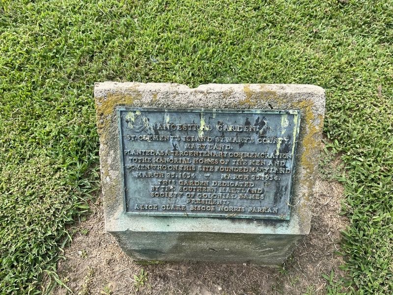
Ancestral Garden
St. Clement's Island, St. Mary's County, Maryland.
Planted as a tercentenary commemoration to the manorial homes of the men and women who on this site founded Maryland
Erected 1934 by The Southern Maryland Society of Colonial Dames, President, Alice Clare Biscoe Norris Parran.
Topics and series. This historical marker is listed in these topic lists: Colonial Era • Settlements & Settlers. In addition, it is included in the The Colonial Dames of America series list. A significant historical date for this entry is March 25, 1634.
Location. 38° 12.513′ N, 76° 44.663′ W. Marker is in Coltons Point, Maryland, in St. Mary's County. The marker is on the southern end of St. Clement's Island, which has no paved roads. Touch for map. Marker is in this post office area: Coltons Point MD 20626, United States of America. Touch for directions.
Other nearby markers. At least 8 other markers are within walking distance of this marker. St. Clement's Island (a few steps from this marker); Freedom to Worship (a few steps from this marker); Trade Expands (within shouting distance of this marker); Blackistone Lighthouse (within shouting distance of this marker); a different marker also named Blackistone Lighthouse (within shouting distance of this marker); St. Clement's Hundred (within shouting distance of this marker); a different marker also named Blackistone Lighthouse (about 300 feet away, measured in a direct line); Blackistone Lighthouse Bell Tower (about 300 feet away). Touch for a list and map of all markers in Coltons Point.
Credits. This page was last revised on August 27, 2022. It was originally submitted on August 27, 2022, by Devry Becker Jones of Washington, District of Columbia. This page has been viewed 131 times since then and 20 times this year. Photo 1. submitted on August 27, 2022, by Devry Becker Jones of Washington, District of Columbia.
Editor’s want-list for this marker. A wide shot of the marker in context • Can you help?
