Near Grasonville in Queen Anne's County, Maryland — The American Northeast (Mid-Atlantic)
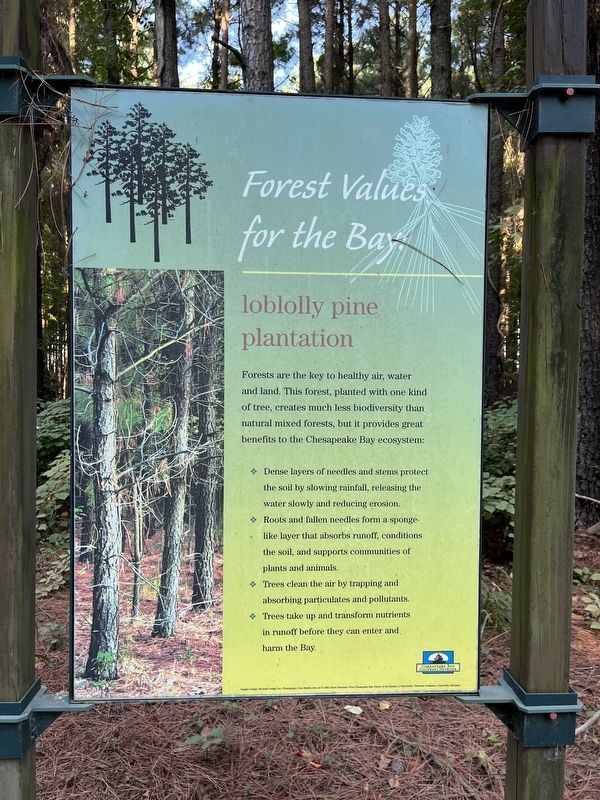
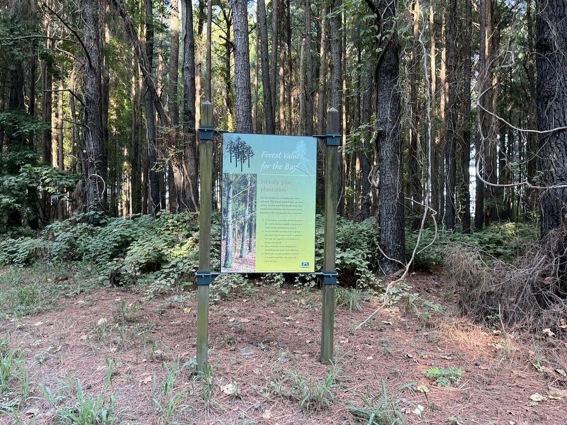
Forest Values for the Bay: loblolly pine plantation

Photographed By Devry Becker Jones (CC0), August 27, 2022
1. Forest Values for the Bay: loblolly pine plantation Marker
Forests are the key to healthy air, water and land. This forest, planted with one kind of tree, creates much less biodiversity than natural mixed forests, but it provides great benefits to the Chesapeake Bay ecosystem:
✤ Dense layers of needles and stems protect the soil by slowing rainfall, releasing the water slowly and reducing erosion.
✤ Roots and fallen needles form a sponge-like layer that absorbs runoff, conditions the soil, and supports communities of plants and animals.
✤ Trees clean the air by trapping and absorbing particulates and pollutants.
✤ Trees take up and transform nutrients in runoff before they can enter and harm the Bay.
Erected by Chesapeake Bay Gateways Network.
Topics. This historical marker is listed in these topic lists: Environment • Horticulture & Forestry.
Location. 38° 57.018′ N, 76° 13.047′ W. Marker is near Grasonville, Maryland, in Queen Anne's County. Marker is on Discovery Lane east of Wanuga Lane, on the right when traveling west. Touch for map. Marker is at or near this postal address: 132 Discovery Ln, Grasonville MD 21638, United States of America. Touch for directions.
Other nearby markers. At least 8 other markers are within 2 miles of this marker, measured as the crow flies. Haven for Biodiversity: hardwood forest (approx. 0.2 miles away); Island in the Marsh: a hummock (approx. 0.6 miles away); US M60 "Patton" Tank (approx. 1.1 miles away); VFW Post 7464 Memorial (approx. 1.1 miles away); Veterans Memorial (approx. 1.1 miles away); Road to Battle (approx. 1.6 miles away); Working the Waters (approx. 1.9 miles away); Crossing Point (approx. 1.9 miles away). Touch for a list and map of all markers in Grasonville.
Additional commentary.
1. About the Marker
This marker qualifies for the database because it shares, albeit somewhat abstractly, about the history of forestry and its consequences on the environment, both positive and negative.
— Submitted August 28, 2022, by Devry Becker Jones of Washington, District of Columbia.

Photographed By Devry Becker Jones (CC0), August 27, 2022
2. Forest Values for the Bay: loblolly pine plantation Marker
Credits. This page was last revised on August 28, 2022. It was originally submitted on August 28, 2022, by Devry Becker Jones of Washington, District of Columbia. This page has been viewed 69 times since then and 7 times this year. Photos: 1, 2. submitted on August 28, 2022, by Devry Becker Jones of Washington, District of Columbia.