Near Wrenshall in Carlton County, Minnesota — The American Midwest (Upper Plains)
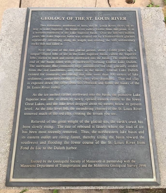
Geology of the St. Louis River
Near the end of the last glacial period, about 12,000 years ago, a tongue-shaped lobe of ice in the Lake Superior basin, called the Superior lobe, started to melt and recede northward into the basin. The southwestern end of the basin filled with its meltwater, forming Glacial Lake Duluth. The meltwater lake contained large amounts of red clay glacially eroded from the red sandstones and shales in the basin. Glacial Lake Duluth existed for centuries, and during that time more than 100 meters of lake sediment, comprised mostly of red clay, were deposited. That red clay is exposed down the slope from this overlook and forms the banks of the St. Louis River valley.
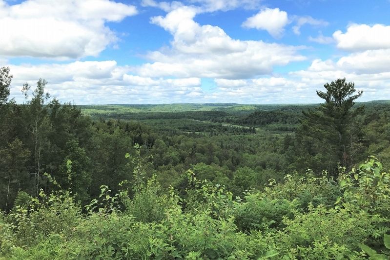
As the ice melted further northward into the basin, the primitive Lake Superior was able to drain by newly opened eastern outlets to the lower Great Lakes, and the lake level dropped about 60 meters below its present level. As the lake level fell, the meandering channel of the St. Louis River removed much of the red clay, creating the terrain you see.
Relieved of the great weight of the glacial ice, the earth's crust has been slowly rising. The rate of rebound is fastest where the load of ice has been most recently removed. Thus, the northeastern lake basin and its eastern outlet are rising faster, thereby tilting the basin toward the southwest and flooding the lower course of the St. Louis River from Fond du Lac to the Duluth harbor.
Erected 1998 by the Geological Society of Minnesota in partnership with the Minnesota Department of Transportation and the Minnesota Geological Survey.
Topics and series. This historical marker is listed in this topic list: Waterways & Vessels. In addition, it is included in the Minnesota: Geological Society of Minnesota series list.
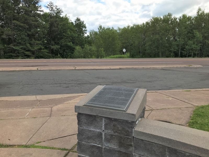
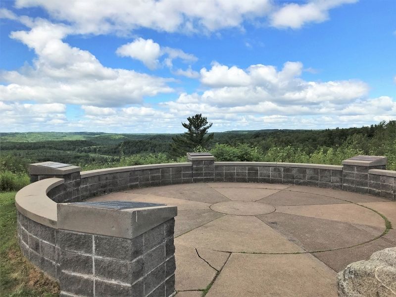
Location. 46° 38.295′ N, 92° 18.914′ W. Marker is near Wrenshall, Minnesota, in Carlton County. Marker is at the intersection of Veterans Evergreen Memorial Drive (State Highway 23) and Line Road, on the right when traveling south on Veterans Evergreen Memorial Drive. Located at the Veterans Evergreen Memorial Park scenic overlook. Touch for map. Marker is in this post office area: Wrenshall MN 55797, United States of America. Touch for directions.
Other nearby markers. At least 8 other markers are within 9 miles of this marker, measured as the crow flies. Evergreen Memorial Drive (a few steps from this marker); Josiah B. Scovell (approx. 2 miles away); Henry C. Hornby (approx. 2 miles away); Geology of Minnesota (approx. 2 miles away); Fond du Lac – Minnesota (approx. 2.3 miles away); Fond du Lac (approx. 2˝ miles away); Minnesota’s Seaport / Welcome to Minnesota (approx. 8.2 miles away); Geology of Duluth Harbor (approx. 8.2 miles away).
Credits. This page was last revised on August 29, 2022. It was originally submitted on August 28, 2022. This page has been viewed 201 times since then and 18 times this year. Photos: 1, 2, 3, 4. submitted on August 28, 2022.


