Moose Lake in Carlton County, Minnesota — The American Midwest (Upper Plains)
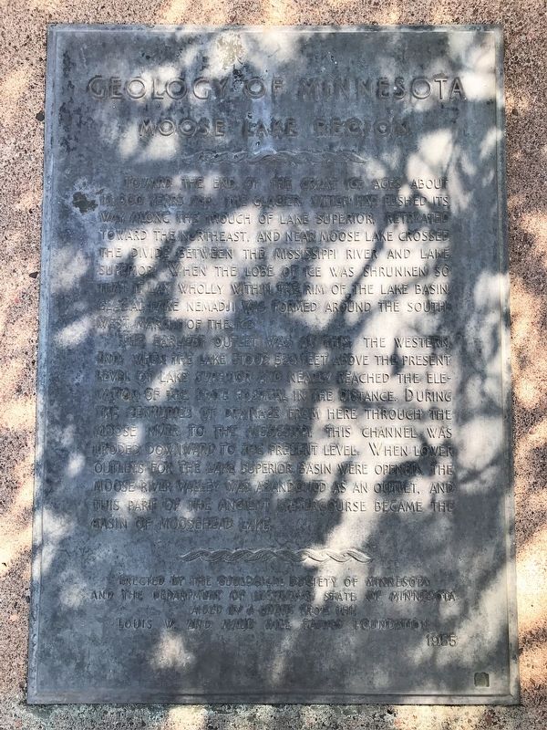
Geology of Minnesota
Moose Lake Region
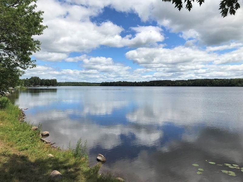
The earliest outlet was at this, the western, end when the lake stood 523 feet above the present level of Lake Superior and nearly reached the elevation of the state hospital in the distance. During the centuries of drainage from here through the Moose River to the Mississippi, this channel was eroded downward to the present level. When lower outlets for the Lake Superior basin were opened, the Moose River Valley was abandoned as an outlet, and this part of the ancient watercourse became the basin of Moosehead Lake.
Erected 1955 by the Geological Society of Minnesota and the Department of Highways, State of Minnesota aided by a grant from the Louis W. and Maud Hill Family Foundation.
Topics and series. This historical marker is listed in this topic list: Waterways & Vessels. In addition, it is included in the Minnesota: Geological Society of Minnesota series list.
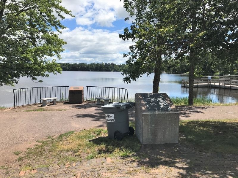
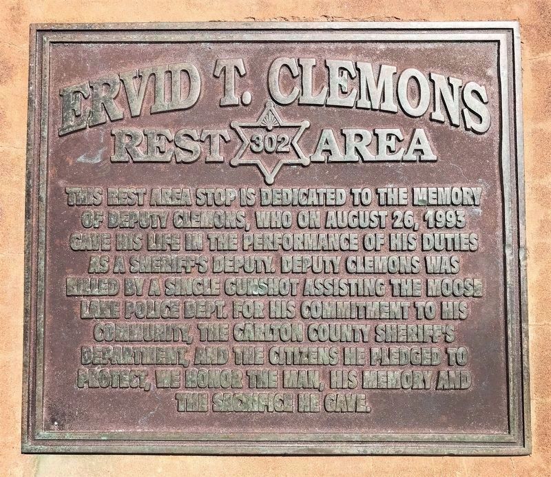
Location. 46° 26.812′ N, 92° 46.088′ W. Marker is in Moose Lake, Minnesota, in Carlton County. Marker is at the intersection of Arrowhead Lane (State Highway 73) and Lakeshore Drive, on the right when traveling north on Arrowhead Lane. Located at the Ervid T. Clemons Rest Area on the west side of Moosehead Lake. Touch for map. Marker is in this post office area: Moose Lake MN 55767, United States of America. Touch for directions.
Other nearby markers. At least 5 other markers are within 12 miles of this marker, measured as the crow flies. Site of Mass Grave (approx. 1.2 miles away); The 1918 Fire (approx. 5.9 miles away); Christopher C. Andrews, Conservation Pioneer (approx. 6˝ miles away); 1872 (approx. 9 miles away); The Iron Range (approx. 11.3 miles away).
Credits. This page was last revised on August 31, 2022. It was originally submitted on August 29, 2022. This page has been viewed 115 times since then and 16 times this year. Photos: 1, 2, 3. submitted on August 29, 2022. 4. submitted on August 31, 2022.


