Near Dripping Springs in Hays County, Texas — The American South (West South Central)
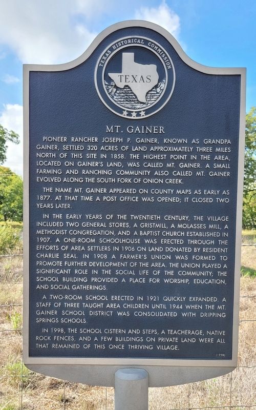
Mt. Gainer
The name Mt. Gainer appeared on county maps as early as 1877. At that time a post office was opened; it closed two years later.
In the early years of the twentieth century, the village included two general stores, a gristmill, a molasses mill, a Methodist congregation, and a Baptist church established in 1907. A one-room schoolhouse was erected through the efforts of area settlers in 1906 on land donated by resident Charlie Seal. In 1908 a farmer's union was formed to promote further development of the area. The union played a significant role in the social life of the community; the school building provided a place for worship, education, and social gatherings.
A two-room school erected in 1921 quickly expanded. A staff of three taught area children until 1944 when the Mt. Gainer School District was consolidated with Dripping Springs schools.
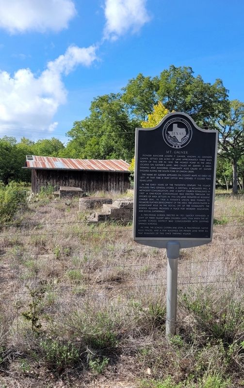
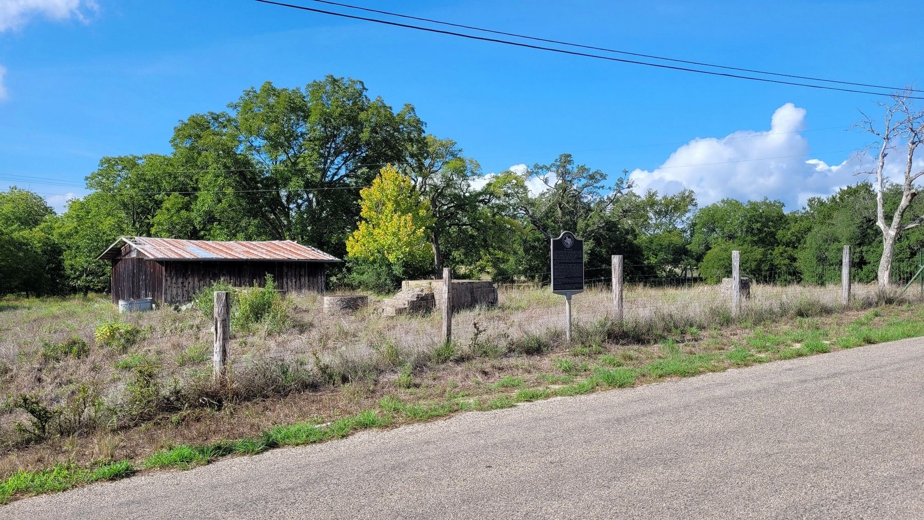
In 1998, the school cistern and steps, a teacherage, native rock fences, and a few buildings on private land were all that remained of this once thriving village.
Erected 1998 by Texas Historical Commission. (Marker Number 11982.)
Topics. This historical marker is listed in these topic lists: Churches & Religion • Education • Settlements & Settlers. A significant historical year for this entry is 1858.
Location. 30° 8.615′ N, 98° 8.216′ W. Marker is near Dripping Springs, Texas, in Hays County. Marker is at the intersection of Mt. Gainor Road (County Highway 220) and Gatlin Creek Road, on the right when traveling east on Mt. Gainor Road. The marker is located along the south side of Mt. Gainor Road. Touch for map. Marker is in this post office area: Dripping Springs TX 78620, United States of America. Touch for directions.
Other nearby markers. At least 8 other markers are within 6 miles of this marker, measured as the crow flies. Elsner (approx. 3.4 miles away); Phillips Cemetery (approx. 3˝ miles away); W.T. Chapman (approx. 4.3 miles away); The Marshall-Chapman Home (approx. 4.3 miles away); First Baptist Church of Dripping Springs (approx. 4.4 miles away); Dripping Springs Academy (approx. 4˝ miles away); Dr. Joseph M. Pound (approx. 5.1 miles away); Dripping Springs United Methodist Church (approx. 5.3 miles away). Touch for a list and map of all markers in Dripping Springs.
More about this marker. The marker spells the Mt. Gainer name with an "e" letter while other records spell
it with an "o" letter.
Also see . . . Mount Gainor, TX. Texas State Historical Association
Mount Gainor (Mount Gaynor), twenty-one miles northwest of San Marcos, was a school and church community in western Hays County that from 1872 to 1879 was also the site of a post office. In the late nineteenth century the neighborhood was known as an entertainment center; its social gatherings are said to have included ice cream suppers, picnics, dances, and three-day barbecues.(Submitted on August 30, 2022, by James Hulse of Medina, Texas.)
Credits. This page was last revised on August 30, 2022. It was originally submitted on August 30, 2022, by James Hulse of Medina, Texas. This page has been viewed 232 times since then and 69 times this year. Photos: 1, 2, 3. submitted on August 30, 2022, by James Hulse of Medina, Texas.


