Potosi in Washington County, Missouri — The American Midwest (Upper Plains)
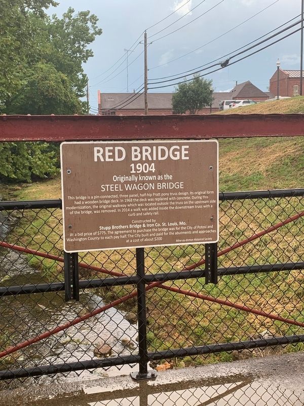
Red Bridge
Steel Wagon Bridge
— 1904 —
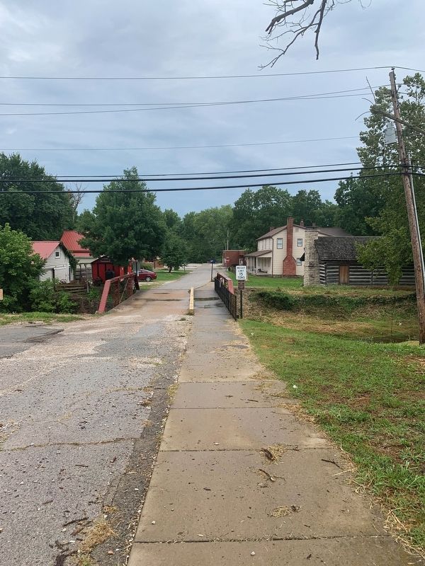
This bridge is a pin-connected, three panel, half-hip Pratt pony truss design. Its original form had a wooden bridge deck. In 1968 the deck was replaced with concrete. During this modernization, the original walkway which was located outside the truss on the upstream side of the bridge, was removed. In 2014 a walk was added inside the downstream truss with a curb and safety rail.
Stupp Brothers Bridge & Iron Co. St. Louis, Mo.
Erected by Mine-au-Benton Historical Society.
Topics. This historical marker is listed in these topic lists: Bridges & Viaducts • Roads & Vehicles. A significant historical year for this entry is 1904.
Location. 37° 56.166′ N, 90° 47.272′ W. Marker is in Potosi, Missouri, in Washington County. Marker is at the intersection of West High Street (State Highway 8) and South Missouri Street, on the right when traveling east on West High Street. Touch for map. Marker is at or near this postal address: 108 W High St, Potosi MO 63664, United States of America. Touch for directions.
Other nearby markers. At least 8 other markers are within 12 miles of this marker, measured as the crow flies. Durham Hall - 1798 (a few steps from this marker); Potosi (a few steps from this marker); Veterans Memorial (within shouting distance of this marker); In Memory of These Revolutionary Soldiers (within shouting distance of this marker); Bellevue Collegiate Institute (approx. 11 miles away); Heritage of Caledonia Missouri (approx. 11 miles away); Petroglyphs (approx. 11.4 miles away); Rock Carvings (approx. 11.4 miles away). Touch for a list and map of all markers in Potosi.
Credits. This page was last revised on September 10, 2022. It was originally submitted on August 31, 2022, by Thomas Smith of Waterloo, Ill. This page has been viewed 97 times since then and 21 times this year. Photos: 1, 2. submitted on August 31, 2022, by Thomas Smith of Waterloo, Ill. • Devry Becker Jones was the editor who published this page.

