Near Eastend in Arlington No. 79, Saskatchewan — The Prairie Region (North America)
John Macoun
| — | Saskatchewan Historic Site | — |
Photographed by Rev. Ronald Irick, 7 20 2022
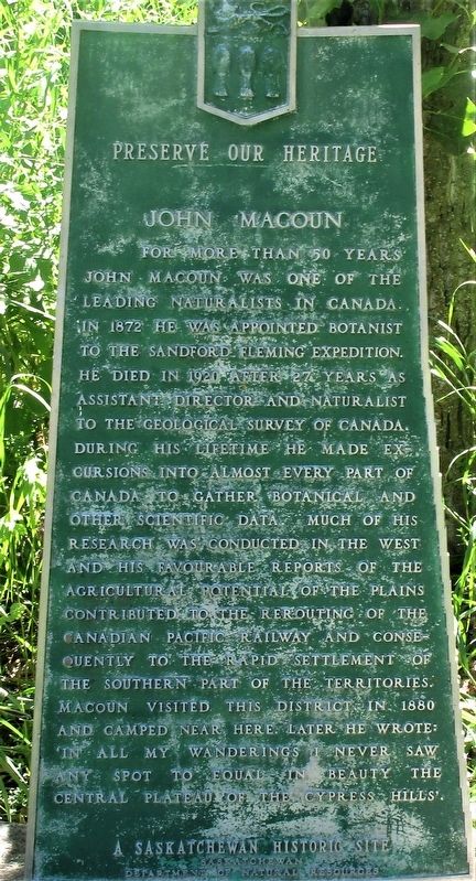
1. John Macoun Marker
For more than 50 years John Macoun was one of the leading naturalists in Canada. In 1872 he was appointed botanist to the Sandford Fleming Expedition. He died in 1920 after 27 years as Assistant Director and Naturalist to the Geological Survey of Canada. During his lifetime he made excursions into almost every part of Canada to gather botanical and other scientific data. Much of his research was conducted in the west and his favourable reports of the agricultural potential of the plains contributed to the rerouting of the Canadian Pacific Railway and consequently to the rapid settlement of the southern part of the territories. Macoun visited this district in 1880 and camped near here. Later he wrote: 'In all my wanderings I never saw any spot to equal in beauty the central plateau of the Cypress Hills'.
Erected by Saskatchewan Department of Natural Resources.
Topics. This historical marker is listed in these topic lists: Railroads & Streetcars • Science & Medicine.
Location. 49° 36.78′ N, 108° 45.677′ W. Marker is near Eastend, Saskatchewan, in Arlington No. 79. It can be reached from no nearby street. Marker is in Pine Cree Park campground off Rt 633, 5 miles north of Rt 13. Touch for map. Marker is in this post office area: Eastend SK SK S0N 0T0, Canada. Touch for directions.

Regionally, this marker is in Southwest Saskatchewan. It is also in the Prairies. Globally, it is in North America, the Western Hemisphere, the Western World, and the Anglosphere. Historically, it finds itself in what was once a British colony and also Rupert’s Land.
Other nearby markers. At least 2 other markers are within 6 kilometers of this marker, measured as the crow flies: Pine Cree Park (a few steps from this marker); Chimney Coulee (approx.
this page online
Photographed by Rev. Ronald Irick, 7 20 2022
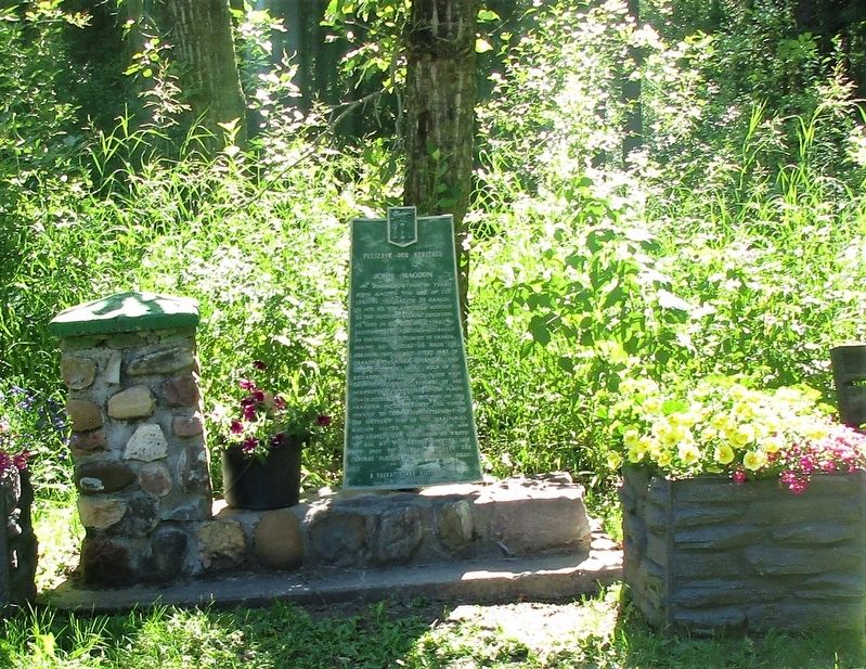
2. John Macoun Marker
Photographed by Rev. Ronald Irick, 7 20 2022
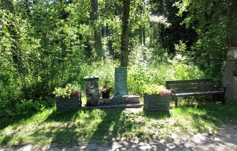
3. John Macoun Marker
Photographed by Rev. Ronald Irick, 7 20 2022
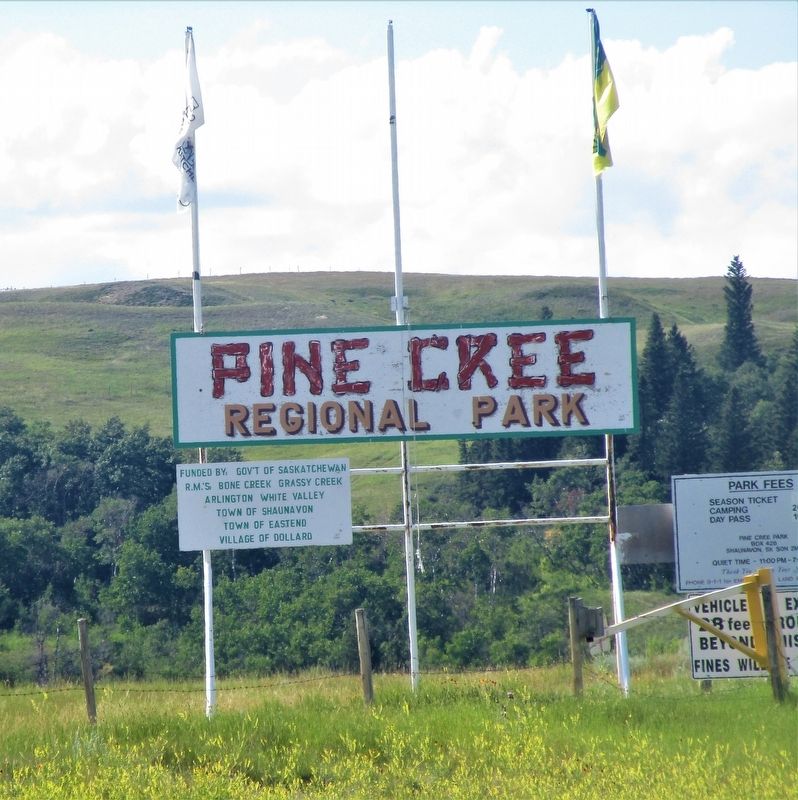
4. John Macoun Marker
Credits. This page was last revised on May 4, 2026. It was originally submitted on August 31, 2022, by Rev. Ronald Irick of West Liberty, Ohio. This page has been viewed 198 times since then and 24 times this year. Photos: 1, 2, 3, 4. submitted on August 31, 2022, by Rev. Ronald Irick of West Liberty, Ohio. • Andrew Ruppenstein was the editor who published this page.
