Braithwaite in Plaquemines Parish, Louisiana — The American South (West South Central)
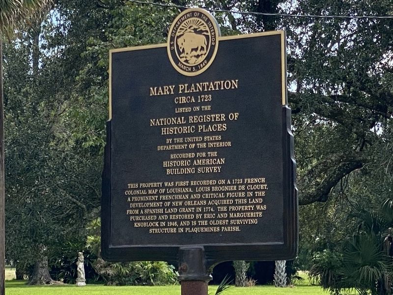
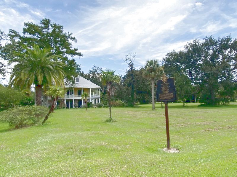
Mary Plantation
Circa 1723
This property was first recorded on a 1723 French colonial map of Louisiana. Louis Brognier de Clouet, a prominent Frenchman and critical figure in the development of New Orleans acquired this land from a Spanish land grant in 1774. The property was purchased and restored by Eric and Marguerite Knoblock in 1946, and is the oldest surviving structure in Plaquemines Parish.
Listed on the
National Register of
Historic Places
By the United States
Department of the Interior
Recorded for the
Historic American
Building Survey
Topics. This historical marker is listed in these topic lists: Architecture • Colonial Era • Notable Buildings. A significant historical year for this entry is 1723.
Location. 29° 48.269′ N, 89° 59.992′ W. Marker is in Braithwaite, Louisiana, in Plaquemines Parish. Marker is on State Highway 39, on the right when traveling north. Touch for map. Marker is at or near this postal address: 5539 LA-39, Braithwaite LA 70040, United States of America. Touch for directions.
Other nearby markers. At least 8 other markers are within 7 miles of this marker, measured as the crow flies. Woodlawn High School and the Struggle for Racial Equality (approx. 3 miles away); English Turn (approx. 3.1 miles away); Bellechasse Plantation (approx. 3.4 miles away); Plaquemines Parish (approx. 5.1 miles away); a different marker also named English Turn (approx. 5˝ miles away); Jefferson Parish (approx. 5.7 miles away); Fort St. Leon (approx. 6 miles away); Barataria Preserve (approx. 6.3 miles away). Touch for a list and map of all markers in Braithwaite.
Also see . . . Official Mary Plantation website. (Submitted on September 3, 2022, by Cajun Scrambler of Assumption, Louisiana.)
Credits. This page was last revised on September 3, 2022. It was originally submitted on September 3, 2022, by Cajun Scrambler of Assumption, Louisiana. This page has been viewed 233 times since then and 53 times this year. Photos: 1, 2. submitted on September 3, 2022, by Cajun Scrambler of Assumption, Louisiana.

