Long Sault in Stormont, Dundas and Glengarry United Counties, Ontario — Central Canada (North America)
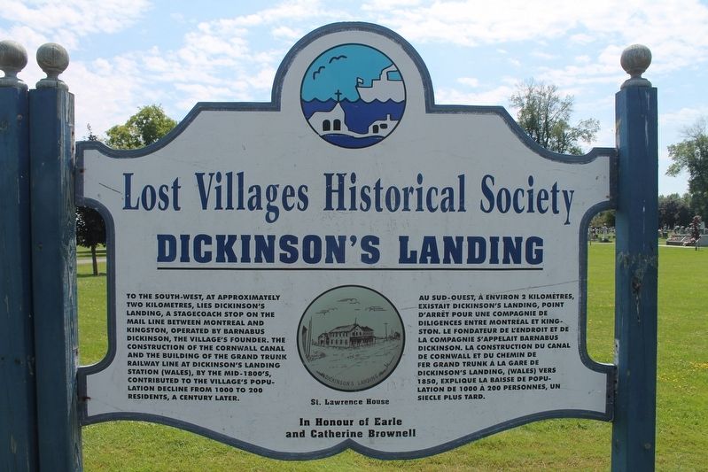
Dickinson's Landing
— Lost Villages Historical Society —
Topics. This historical marker is listed in these topic lists: Man-Made Features • Settlements & Settlers.
Location. 45° 1.019′ N, 74° 55.548′ W. Marker is in Long Sault, Ontario, in Stormont, Dundas and Glengarry United Counties. Marker is on Stormont, Dundas and Glengarry County Road 2 (County Highway 2), on the left when traveling west. This marker is located just outside The St. Lawrence Valley Cemetery. Touch for map. Marker is in this post office area: Long Sault ON K0C 1M0, Canada. Touch for directions.
Other nearby markers. At least 8 other markers are within 6 kilometers of this marker, measured as the crow flies. Wales (here, next to this marker); Lake St. Lawrence / Lac Saint-Laurent (approx. 2.7 kilometers away); Moulinette (approx. 5.6 kilometers away); Moulinette Station (approx. 6 kilometers away); Ernest (Ernie) McDonald Blacksmith Shop / Forgeron (approx. 6 kilometers away); Zina Hill Barber Shop / Le Salon de Barbier de Zina Hill (approx. 6 kilometers away); Corn Crib (approx. 6 kilometers away); Manson / LaPierre General Store (approx. 6 kilometers away). Touch for a list and map of all markers in Long Sault.
Credits. This page was last revised on September 9, 2022. It was originally submitted on September 4, 2022, by Robert Rusaw of Massena, New York. This page has been viewed 94 times since then and 24 times this year. Photo 1. submitted on September 4, 2022, by Robert Rusaw of Massena, New York. • Andrew Ruppenstein was the editor who published this page.
Editor’s want-list for this marker. Wide shot of the marker in context • Can you help?
