Ingleside in Stormont, Dundas and Glengarry United Counties, Ontario — Central Canada (North America)
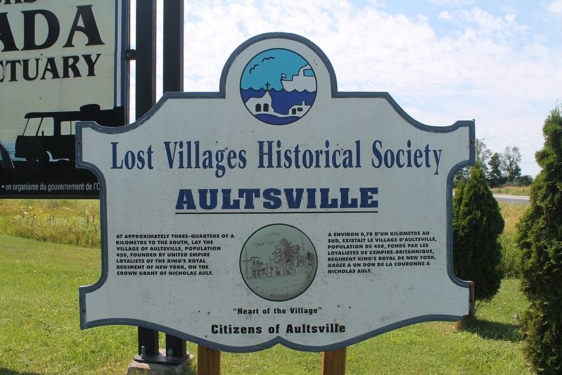
Aultsville
Lost Villages Historical Society
At approximately three-quarters of a kilometre to the south, lay the village of Aultsville, population 450, founded by United Empire Loyalists of the King's Royal Regiment of New York, on the Crown Grant of Nicholas Ault.
Erected by Citizens of Aultsville.
Topics. This historical marker is listed in this topic list: Settlements & Settlers.
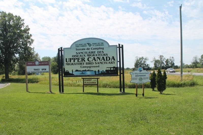
Location. 44° 58.336′ N, 75° 2.655′ W. Marker is in Ingleside, Ontario, in Stormont, Dundas and Glengarry United Counties. Marker is on Aultsville Road (County Highway 2), on the left when traveling west. This marker is outside the entrance to The Upper Canada Migratory Bird Sanctuary on Morrisons Road. Touch for map. Marker is in this post office area: Ingleside ON K0C 1X0, Canada. Touch for directions.
Other nearby markers. At least 8 other markers are within 6 kilometers of this marker, measured as the crow flies . Holstein Friesian Cattle in Ontario (approx. 1.1 kilometers away); Loyalist American Regiments / Loyalists of the Indian Nations / Sir John Johnson (approx. 3.7 kilometers away); George H. Challies (approx. 3.7 kilometers away); Battle of Crysler’s Farm 1813 (approx. 3.9 kilometers away); Battlefield of Crysler’s Farm (approx. 3.9 kilometers away); Battle of Crysler’s Farm (approx. 4 kilometers away); Farran's Point (approx. 4.1 kilometers away); Aultsville Train Station and Locomotive 1008 (approx. 5.1 kilometers away). Touch for a list and map of all markers in Ingleside.
Credits. This page was last revised on October 6, 2022. It was originally submitted on September 4, 2022, by Robert Rusaw of Massena, New York. This page has been viewed 62 times since then and 8 times this year. Photos: 1, 2. submitted on September 4, 2022, by Robert Rusaw of Massena, New York. • Andrew Ruppenstein was the editor who published this page.

