Clarksville in Montgomery County, Tennessee — The American South (East South Central)
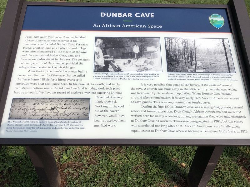
Dunbar Cave
An African American Space
John Barker, the plantation owner, built a house near the mouth of the cave that he called the “cave house,” likely for a hired overseer to supervise work that took place here. In the cave, at its mouth, and in the rich stream bottom where the lake and wetland is today, work took place here year-round. We have no record of enslaved workers exploring Dunbar Cave, but it is very likely they did. Working in the cool air of the cavern, however, would have been a reprieve from any field work.
It is very possible that some of the houses of the enslaved were at the cave. A church was built early in the 19th century near the cave which was later used by the enslaved population. When Dunbar Cave became a resort after emancipation, it is very likely that African Americans served as cave guides. This was very common at tourist caves.
During the late 1870s, Dunbar Cave was a segregated, privately owned resort and tourist attraction. Even though African Americans had lived and worked here for nearly a century, during segregation they were only permitted at Dunbar Cave as workers. Tennessee desegregated in 1964, but the resort was abandoned not long after that. African Americans were finally given equal access to Dunbar Cave when it became a Tennessee State Park in 1973.
Captions (left to right)
• This November 1849 entry in Barker's journal highlights the nature of chattel slavery: John purchased Charity for Harris at $400. This entry is listed between an entry for selling a horse and another for gathering corn. Dunbar Cave State Park Archives
• This ca. 1950 photograph shows an African American man working as a server at the dance floor. This is one of the only known photos of an African American person at Dunbar Cave during the resort era.
• This ca. 1920s photo shows what the landscape at Dunbar Cave was like prior to the creation of the lake and wetland. It is similar to what the enslaved workers at the cave would have seen. Dunbar Cave State Park Archives
Erected 2021 by Tennessee State Parks.
Topics. This historical marker is listed in these topic lists: African Americans • Industry & Commerce • Natural Features. A significant historical year for this entry is 1785.
Location. 36°
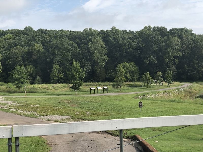
33.024′ N, 87° 18.298′ W. Marker is in Clarksville, Tennessee, in Montgomery County. Marker can be reached from the intersection of Old Dunbar Cave Road and Dunbar Cave Road, on the right when traveling north. Marker is on a trail splitting Swan Lake at Dunbar Cave State Park. Touch for map. Marker is at or near this postal address: 401 Old Dunbar Cave Rd, Clarksville TN 37043, United States of America. Touch for directions.
Other nearby markers. At least 8 other markers are within walking distance of this marker. The Three Sisters Garden (a few steps from this marker); a different marker also named Dunbar Cave (a few steps from this marker); Affricanna Town (a few steps from this marker); a different marker also named Affricanna Town (within shouting distance of this marker); a different marker also named Dunbar Cave (within shouting distance of this marker); 1933 Swimming Pool & Bathhouse (about 300 feet away, measured in a direct line); Roy Acuff (about 400 feet away); Wetland (about 500 feet away). Touch for a list and map of all markers in Clarksville.
Credits. This page was last revised on September 4, 2022. It was originally submitted on September 4, 2022, by Duane and Tracy Marsteller of Murfreesboro, Tennessee. This page has been viewed 217 times since then and 76 times this year. Photos: 1, 2. submitted on September 4, 2022, by Duane and Tracy Marsteller of Murfreesboro, Tennessee.

