Lincoln in Lee County, Texas — The American South (West South Central)
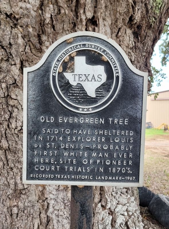
Old Evergreen Tree
Photographed by James Hulse, August 31, 2022
1. Old Evergreen Tree Marker
Erected 1967 by State Historical Survey Committee. (Marker Number 8145.)
Topics. This historical marker is listed in these topic lists: Exploration • Horticulture & Forestry. A significant historical year for this entry is 1714.
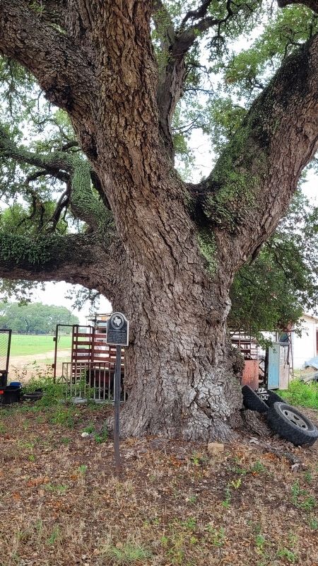
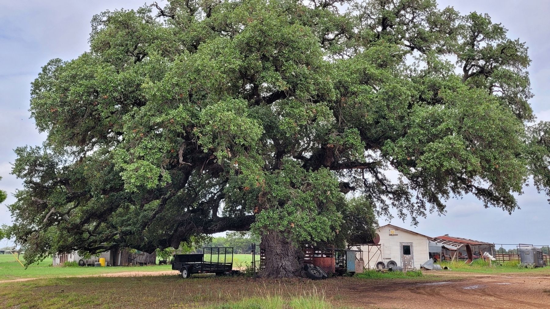
Location. 30° 16.212′ N, 96° 57.252′ W. Marker is in Lincoln, Texas, in Lee County. It is on Farm to Market Road 1624 half a mile east of State Highway 21, on the right when traveling west. The marker is located along the highway next to a large tree at a small business. Touch for map. Marker is in this post office area: Lincoln TX 78948, United States of America. Touch for directions.

Regionally, this marker is in Central Texas. It is also in the American South. Globally, it is in North America, a Gulf of Mexico state, the Western Hemisphere, the Western World, and the Anglosphere. Historically, it finds itself in what was once New Spain, the Republic of Texas, one of the Confederate States of America,
this page online
Other nearby markers. At least 8 other markers are within 6 miles of this marker, measured as the crow flies: Kings Highway Camino Real — Old San Antonio Road (approx. 1.3 miles away); St. John Lutheran Church (approx. 1.4 miles away); a different marker also named Kings Highway Camino Real — Old San Antonio Road (approx. 1½ miles away); a different marker also named Kings Highway Camino Real — Old San Antonio Road (approx. 3.9 miles away); a different marker also named Kings Highway Camino Real — Old San Antonio Road (approx. 5 miles away); Shorter Chapel, A. M. E. Church (approx. 5.9 miles away); St. Paul Baptist Church (approx. 6 miles away); Bethel Union Baptist Church (approx. 6 miles away). Touch for a list and map of all markers in Lincoln.
Also see . . . Louis Juchereau de St. Denis. Wikipedia
Louis Antoine Juchereau de St. Denis (September 17, 1676 – June 11, 1744) was a French-Canadian soldier and explorer best known for his exploration and development of the Louisiana (New France) and Spanish Texas regions. He commanded a small garrison at Fort de la Boulaye on the lower Mississippi(Submitted on September 5, 2022, by James Hulse of Medina, Texas.)River, built in 1700, and founded Fort St Jean Baptiste de Natchitoches in northern La Louisiane, as they called the French colony.Photographed by James Hulse, August 31, 20222. The Old Evergreen Tree and Marker
Photographed by James Hulse, August 31, 2022
3. The view of the Old Evergreen Tree and Marker from the street
Credits. This page was last revised on September 5, 2022. It was originally submitted on September 5, 2022, by James Hulse of Medina, Texas. This page has been viewed 626 times since then and 54 times this year. Photos: 1, 2, 3. submitted on September 5, 2022, by James Hulse of Medina, Texas.
