
Anaconda in Deer Lodge County, Montana — The American West (Mountains)
Atlantic Cable Quartz Lode
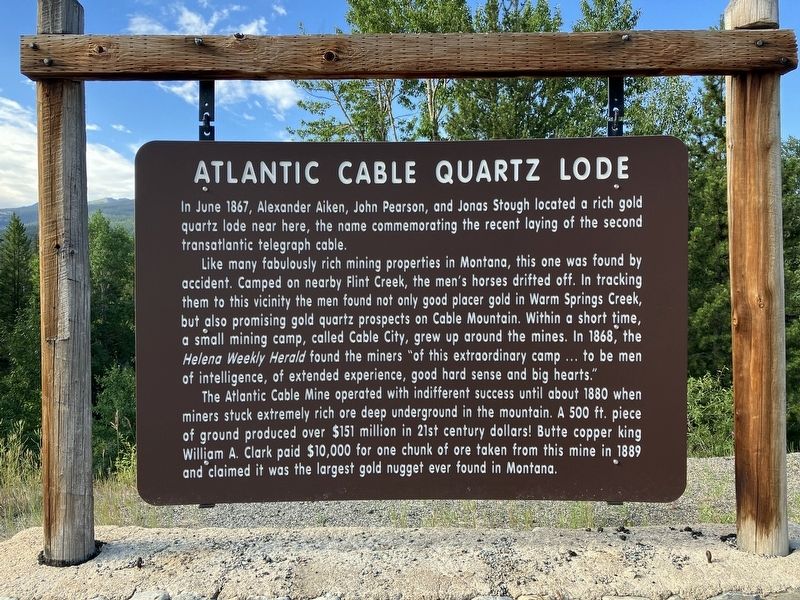
Photographed by Barry Swackhamer, August 6, 2022
1. Atlantic Cable Quartz Lode Marker
In June 1867, Alexander Aiken, John Person, and Jonas Stough located a rich gold quartz lode near here, the name commemorating the recent laying to the second transatlantic telegraph cable.
Like many fabulously rich mining properties in Montana, this one was found by accident. Camped on nearby Flint Creek, the men's horses drifted off. In tracking them to this vicinity the men found not only good placer gold in Warm Springs Creek, but also promising gold quartz prospects on Cable Mountain. Within a short time, a small mining camp, called Cable City, grew up around the mines. In 1868, the Helena Weekly Herald found the miner "of this extraordinary camp … to be men of intelligence, of extended experience, good hard sense and big hearts."
The Atlantic Cable Mine operated with indifferent success until about 1880 when miners struck extremely rich ore dead under the mountain. A 500 ft. piece of ground produced over $151 million in 21st century dollars! Butte copper king William A. Clark paid $10,000 for one chunk of ore taken from this mine in 1889 and claimed it was the largest gold nugget ever found in Montana.
Erected by Montana
this page online
Topics. This historical marker is listed in these topic lists: Industry & Commerce • Natural Resources. A significant historical month for this entry is June 1867.
Location. 46° 10.216′ N, 113° 10.281′ W. Marker is in Anaconda, Montana, in Deer Lodge County. It is on Pintler Veterans Memorial Scenic Highway (at milepost 20) near Old Highway 10, aka Spring Hill Road, on the left when traveling west. Touch for map. Marker is in this post office area: Anaconda MT 59711, United States of America. Touch for directions.

Regionally, this marker is in andspecifically outhwest Montana, in Gold West Country, in Mining Country. It is also in the American Mountain West and in the Lewis & Clark Corridor. Globally, it is in North America, the Rocky Mountains, the Western Hemisphere, the Western World, and the Anglosphere. Historically, it finds itself in what was once Rupert’s Land and also the Louisiana Purchase.
Other nearby markers. At least 8 other markers are within 11 miles of this marker, measured as the crow flies: Furst Residence (approx. 9.9 miles away); Ruby Shaft (approx. 10.7 miles away); Superintendent’s House
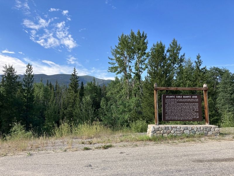
Photographed by Barry Swackhamer, August 6, 2022
2. Atlantic Cable Quartz Lode Marker
Credits. This page was last revised on December 27, 2024. It was originally submitted on September 5, 2022, by Barry Swackhamer of Brentwood, California. This page has been viewed 1,071 times since then and 139 times this year. Photos: 1, 2. submitted on September 5, 2022, by Barry Swackhamer of Brentwood, California.
