Frankfort in Franklin County, Kentucky — The American South (East South Central)
Capital Bridge
Photographed by Craig Doda, August 30, 2022
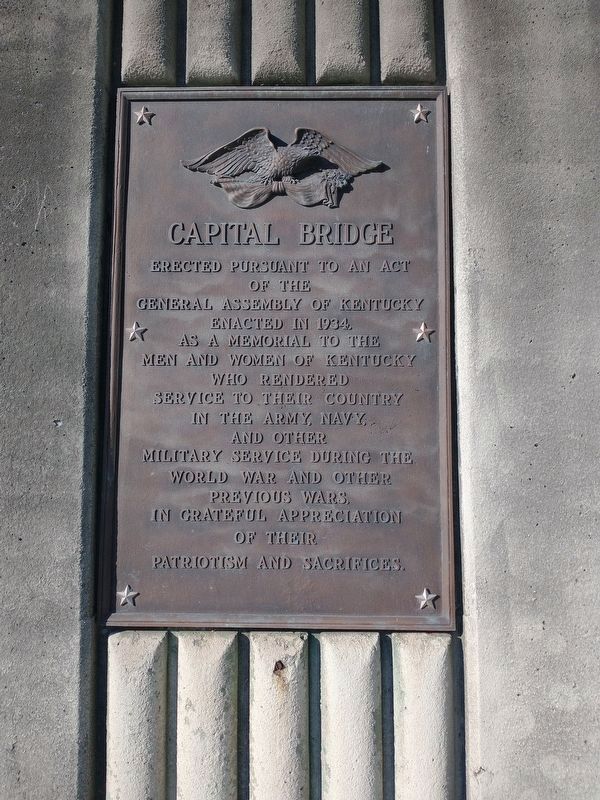
1. Capital Bridge Marker
of the
General Assembly of Kentucky
enacted in 1934,
as a memorial to the
men and women of Kentucky
who rendered
service to their country
in the army, navy,
and other
military service during the
World War and other
previous wars,
in grateful appreciation
of their
patriotism and sacrifices.
Topics. This memorial is listed in this topic list: War, World I.
Location. 38° 11.735′ N, 84° 52.452′ W. Memorial is in Frankfort, Kentucky, in Franklin County. It is on Capitol Avenue, on the right when traveling north. Touch for map. Memorial is at or near this postal address: 116 Capital Ave, Frankfort KY 40601, United States of America. Touch for directions.

Regionally, this memorial is in Kentucky’s Bluegrass Region. It is also in the American South and specifically in the Upper South. Globally, it is in North America, the Western Hemisphere, the Western World, and the Anglosphere. Historically, it finds itself in what was once the territory of the Mississippian Culture and also the Antebellum South.
Other nearby markers. At
this page online
Photographed by Craig Doda, August 30, 2022
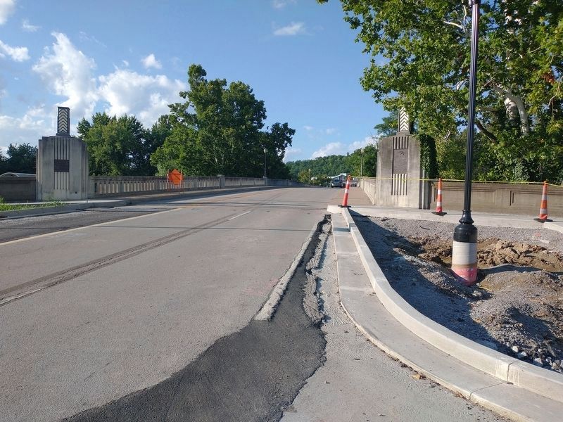
2. Capital Bridge Marker
Credits. This page was last revised on September 8, 2022. It was originally submitted on September 7, 2022, by Craig Doda of Napoleon, Ohio. This page has been viewed 363 times since then and 17 times this year. Photos: 1, 2. submitted on September 7, 2022, by Craig Doda of Napoleon, Ohio. • Mark Hilton was the editor who published this page.
