Cape Elizabeth in Cumberland County, Maine — The American Northeast (New England)
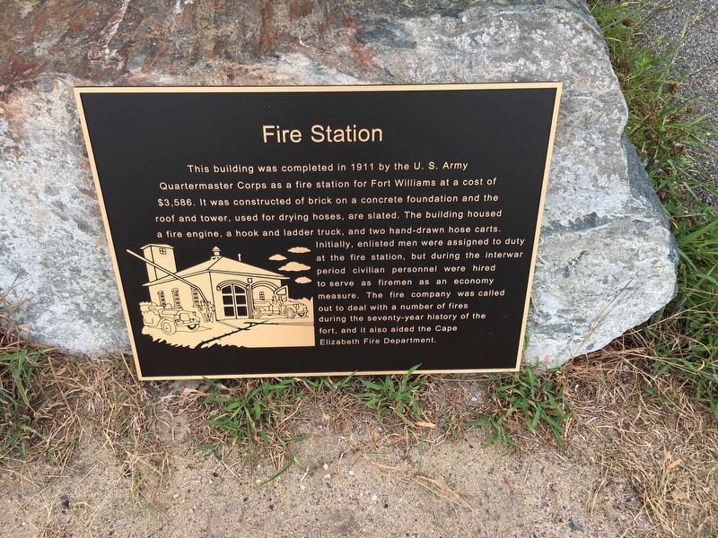
Fire Station
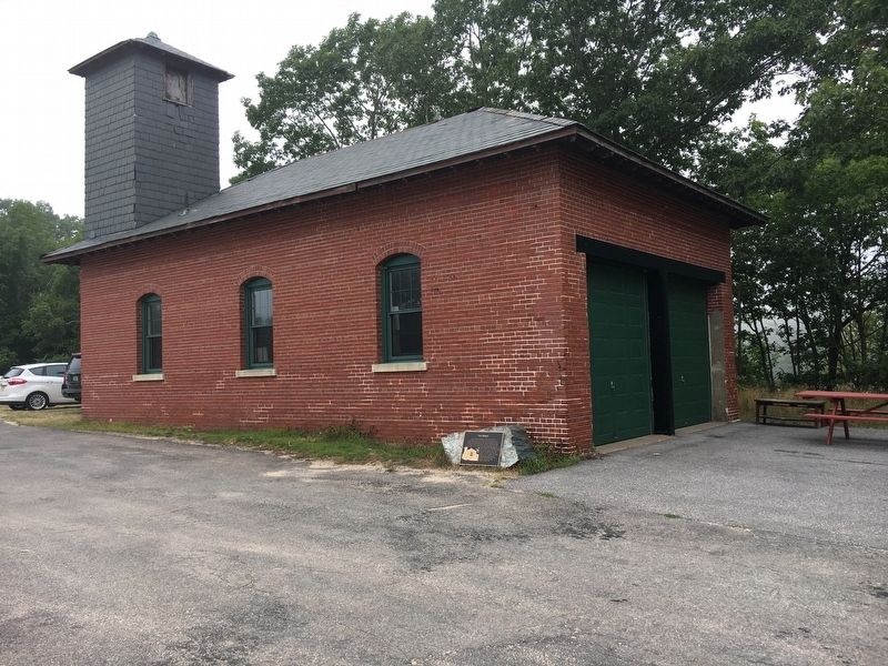
This building was completed in 1911 by the U. S. Army Quartermaster Corps as a fire station for Fort Williams at a cost of $3,586. It was constructed of brick on a concrete foundation and the roof and tower, used for drying hoses, are slated. The building housed a fire engine, a hook and ladder truck, and two hand-drawn hose carts. Initially, enlisted men were assigned to duty at the fire station, but during the interwar period civilian personnel were hired to serve as firemen as an economy measure. The fire company was called out to deal with a number of fires. during the seventy-year history of the fort, and it also aided the Cape Elizabeth Fire Department.
Topics. This historical marker is listed in this topic list: Forts and Castles. A significant historical year for this entry is 1911.
Location. 43° 37.448′ N, 70° 12.859′ W. Marker is in Cape Elizabeth, Maine, in Cumberland County. Marker can be reached from Shore Road east of Littlejohn Road, on the right when traveling north. Touch for map. Marker is at or near this postal address: 1000 Shore Road, Cape Elizabeth ME 04107, United States of America. Touch for directions.
Other nearby markers. At least 8 other markers are within walking distance of this marker. Central Powerhouse (within shouting distance of this marker); Mining Casemate (about 700 feet away, measured in a direct line); Goddard Mansion (about 700 feet away); Field Officer's Quarters (about 700 feet away); a different marker also named Field Officer's Quarters (about 700 feet away); Battery Hobart (about 800 feet away); Looking North (approx. 0.2 miles away); Bachelor's Officers' Quarters (approx. 0.2 miles away). Touch for a list and map of all markers in Cape Elizabeth.
Credits. This page was last revised on September 15, 2022. It was originally submitted on September 7, 2022, by D Howitt of Bergen County, New Jersey. This page has been viewed 93 times since then and 10 times this year. Photos: 1, 2, 3. submitted on September 7, 2022, by D Howitt of Bergen County, New Jersey. • Michael Herrick was the editor who published this page.


