Calhoun Isles in Minneapolis in Hennepin County, Minnesota — The American Midwest (Upper Plains)
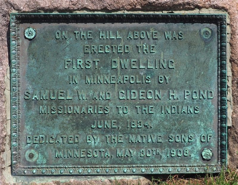
First Dwelling in Minneapolis
erected the
first dwelling
in Minneapolis by
Samuel W. and Gideon H. Pond
missionaries to the Indians
June, 1834.
Dedicated by the Native Sons of Minnesota, May 30th, 1908.
Erected 1908 by Native Sons of Minnesota.
Topics. This historical marker is listed in these topic lists: Churches & Religion • Native Americans • Settlements & Settlers. A significant historical month for this entry is June 1834.
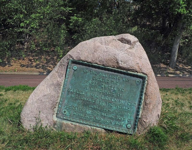
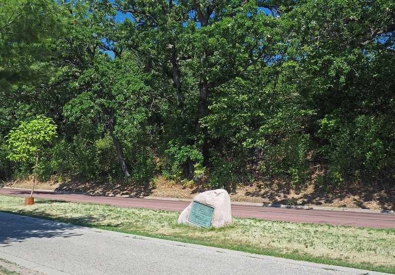
Location. 44° 56.38′ N, 93° 18.236′ W. Marker is in Minneapolis, Minnesota, in Hennepin County. It is in Calhoun Isles. Marker is on East Bde Maka Ska Parkway north of W. 36th Street, on the left when traveling north. The marker is on the east shore of Bde Maka Ska, between the bicycle path and East Bde Maka Ska Parkway, facing the lake. The closest parking is a block to the south. Touch for map. Marker is in this post office area: Minneapolis MN 55408, United States of America. Touch for directions.
Other nearby markers. At least 8 other markers are within walking distance of this marker. You Are Here… Lake Calhoun (approx. 0.6 miles away); 1450 West Lake Street: Hove's/Lunds (approx. 0.6 miles away); 3022 Hennepin Avenue: The Granada Theater (approx. 0.6 miles away); In Memory of the Boys of Our Navy (approx. 0.6 miles away); Minnesota World War I Marine Corps Memorial (approx. 0.6 miles away); 2924 Hennepin Avenue: Abdallah's (approx. 0.7 miles away); Hennepin Avenue and Lake Street/Uptown (approx. 0.7 miles away); The Chain of Lakes (approx. 0.7 miles away). Touch for a list and map of all markers in Minneapolis.
Credits. This page was last revised on February 12, 2023. It was originally submitted on September 7, 2022, by McGhiever of Minneapolis, Minnesota. This page has been viewed 178 times since then and 26 times this year. Photos: 1, 2, 3. submitted on September 7, 2022, by McGhiever of Minneapolis, Minnesota. • J. Makali Bruton was the editor who published this page.


