Floresville in Wilson County, Texas — The American South (West South Central)
Camp Ranch Community
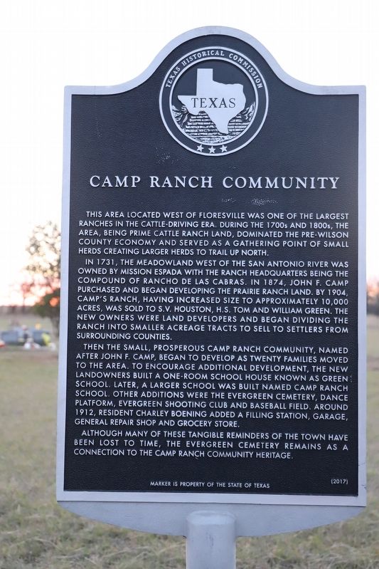
This area located west of Floresville was one of the largest ranches in the cattle-driving era. During the 1700s and 1800s, the area, being prime cattle ranch land, dominated the pre-Wilson County economy and served as a gathering point of small herds creating larger herds to trail up north.
In 1731, the meadowland west of the San Antonio River was owned by Mission Espada with the ranch headquarters being the compound of Rancho de Las Cabras. In 1874, John F. Camp purchased and began developing the prairie ranch land. By 1904, Camp's ranch, having increased size to approximately 10,000 acres, was sold to S.V. Houston, H.S. Tom and William Green. The new owners were land developers and began dividing the ranch into smaller acreage tracts to settlers from surrounding counties.
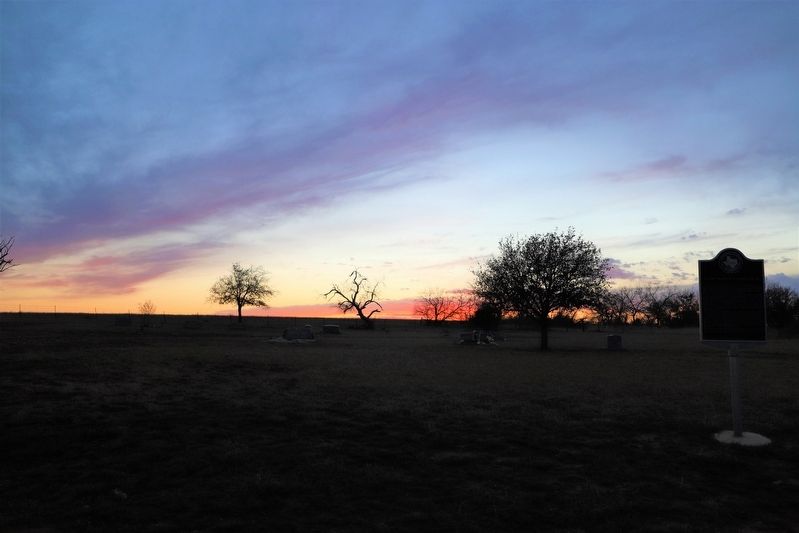
Then the small, prosperous Camp Ranch community, named after John F. Camp, began to develop as twenty families moved to the area. To encourage additional development, the new landowners built a one-room school house known as Green School. Later, a larger school was built named Camp Ranch School. Other additions were the Evergreen Cemetery, dance platform, Evergreen Shooting Club and baseball field. Around 1912, resident Charley Boening added a filling station, garage, general repair shop and grocery store. Although many of these tangible reminders of the town have been lost to time, the Evergreen Cemetery remains as a connection to the Camp Ranch community heritage.
Erected 2017 by Texas Historical Commission. (Marker Number 18638.)
Topics. This historical marker is listed in these topic lists: Education • Settlements & Settlers. A significant historical year for this entry is 1904.
Location. 29° 4.913′ N, 98° 11.955′ W. Marker is in Floresville, Texas, in Wilson County. Marker is on Farm to Market Road 1344, on the right when traveling south. Touch for map. Marker is at or near this postal address: 402 FM 1344, Floresville TX 78114, United States of America. Touch for directions.
Other nearby markers. At least 8 other markers are within 5 miles of this marker, measured as the crow flies. The Site of the Mission of Las Cabreras (approx. 2.2 miles away); Vicinity of Site: "Mision de las Cabras" (approx. 2.3 miles away); de la Zerda Cemetery (approx. 4.2 miles away); Near Site of Lodi Ferry (approx. 4.2 miles away); Site of Old Town: Lodi (approx. 4.2 miles away); Wilson County (approx. 4.3 miles away); James Charles Wilson (approx. 4.3 miles away); The Flores de Abrego Family and Floresville (approx. 4.3 miles away). Touch for a list and map of all markers in Floresville.
Credits. This page was last revised on September 24, 2022. It was originally submitted on September 8, 2022, by Dave W of Co, Colorado. This page has been viewed 115 times since then and 21 times this year. Photos: 1, 2. submitted on September 8, 2022, by Dave W of Co, Colorado. • J. Makali Bruton was the editor who published this page.

