Martinsville, Virginia — The American South (Mid-Atlantic)
Dry Bridge School
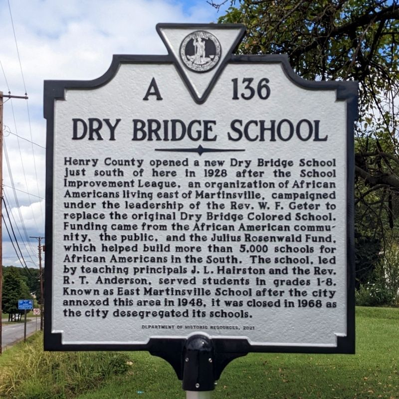
Photographed by Bernard Fisher, September 8, 2022
1. Dry Bridge School Marker
Erected 2021 by Department of Historic Resources. (Marker Number A-136.)
Topics and series. This historical marker is listed in these topic lists: African Americans • Education. In addition, it is included in the Rosenwald Schools series list. A significant historical year for this entry is 1928.
Location. 36° 41.569′ N, 79° 50.926′ W. Marker is in Martinsville, Virginia. It is at the intersection of Church Street East (Business
this page online

Regionally, this marker is in Southern Virginia. It is also in the American South and specifically in the Upper South. Globally, it is in North America, the Western Hemisphere, the Western World, and the Anglosphere. Historically, it finds itself in what was once the territory of the Mississippian Culture, one of the original Thirteen Colonies, one of the Confederate States of America, and the Antebellum South.
Other nearby markers. At least 8 other markers are within 2 miles of this marker, measured as the crow flies: The Dick & Willie Passage (approx. 0.3 miles away); a different marker also named The Dick & Willie Passage (approx. half a mile away); Connecting Communities (approx. 0.7 miles away); Changing With Industry (approx. 0.8 miles away); Continued Connections (approx. 0.8 miles away); DeShazo's "Silo" (approx. one mile away); Traditions to Celebrate (approx. 1.1 miles away); Martinsville's Early Textile Mills
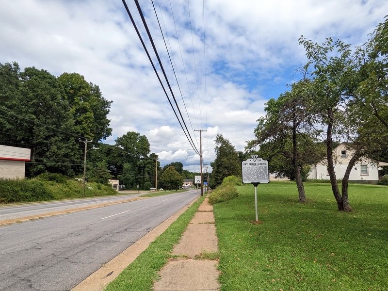
Photographed by Bernard Fisher, September 8, 2022
2. Dry Bridge School Marker
Credits. This page was last revised on March 5, 2024. It was originally submitted on September 9, 2022, by Bernard Fisher of Richmond, Virginia. This page has been viewed 354 times since then and 43 times this year. Photos: 1, 2. submitted on September 9, 2022, by Bernard Fisher of Richmond, Virginia.
