Butte in Silver Bow County, Montana — The American West (Mountains)
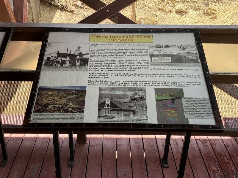
Mining The Berkeley Pit 1955-1982
Photographed By Barry Swackhamer, August 6, 2022
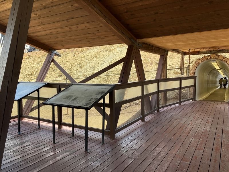
1. Mining The Berkeley Pit 1955-1982 Marker
Captions: (top left) The Berkeley Mine head frame in the background was the starting point for digging the Berkeley Pit. A high ore concentration right below the surface make it logical place to begin open pit mining.; (top right) An Anaconda Co. artist's rendition of the Butte Hill in the 1950's showing the Berkeley Pit and other facilities nearby.; (bottom left) t(bottom center) Here is an Anaconda Co. building in the McQueen neighborhood being buried to make way for pit expansion.; This 1952 photo shows Anaconda Hill and the neighborhood of Dublin Gulch. The head frame in the center is the Kelley Mine (still standing just north of the pit). The foreground mines are the Anaconda and the Neversweat, two of Butte's earliest and most profitable mines. The west rim of the Berkeley Pit now engulfs the area where these head frames once stood.; (bottom right) The Montana Bureau of Mines and Geology graphics show the tunnels from years of underground mining. The red dots represent vertical mine shafts, and the colored sketches under the surface represent the horizontal levels of each mine. The graphic does not illustrate stopes or other lateral workings.
More than a dozen Butte mine yards were dismantled and relocated. Also, the residential communities of East Butte, Meaderville, McQueen, Dublin Gulch, and Finn Town were uprooted. Many of the relocated residents didn't mind because it meant good-paying jobs would stay in the community.
To reach the rich copper veins, miners had to remove approximately 4.4 million tons of waste rock. Huge ore trucks nicknamed "ukes," which could hold between 25 and 200 tons, carried ore ant of the Pit to the Week Concentrator (East of the Pit viewing stand). By 1962, production reached 320,000 tons per day of e ore (ore and waste) on a 'round-the, clock, seven-days-per-week schedule.
By the early 1980s, mining the Berkeley Pit had become significantly less profitable. Therefore, the Atlantic Richfield Co., which brought the Anaconda Co. in 1977, decided to halt Berkeley Pit operations in 1983.
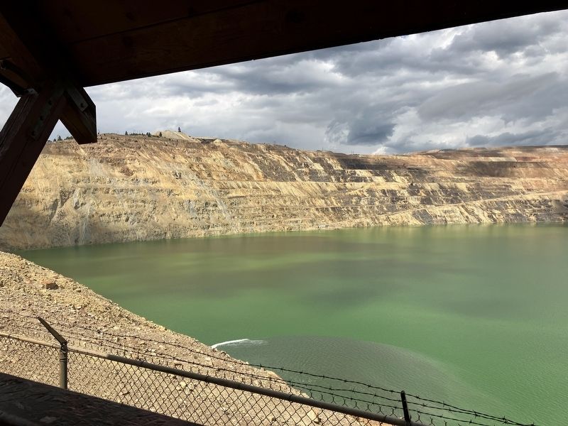
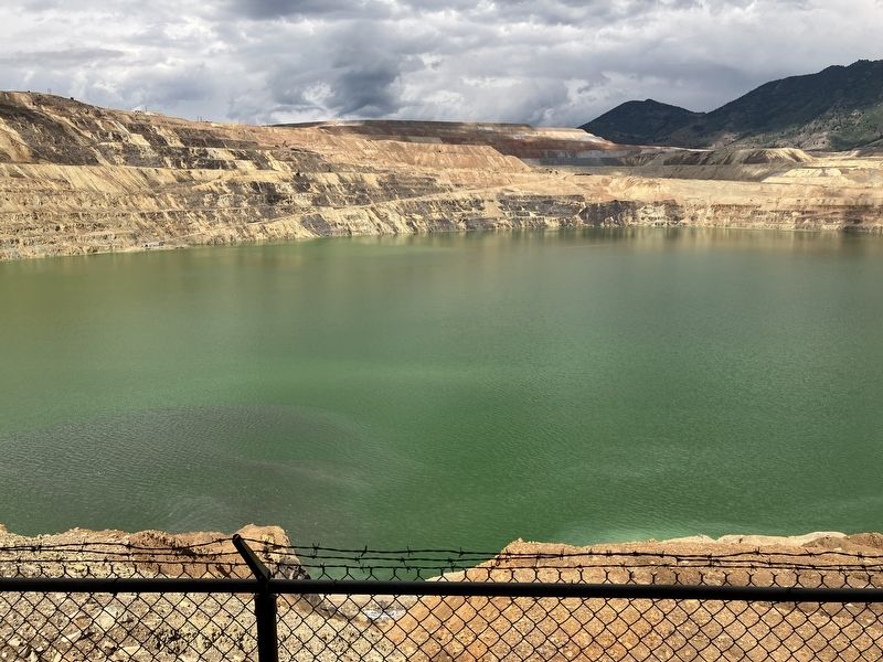
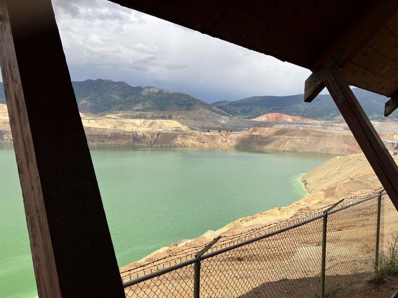
When the Pit closed, it was the largest truck-operated open pit copper mine in the United States. The pit measures 7,000 feet long, 5,600 feet wide, and more than 1,800 feet deep. The total amount of ore mined fro the pit from 1955 to 1982 was approximately 1.4 billion tons
Topics. This historical marker is listed in these topic lists: Industry & Commerce • Man-Made Features • Natural Resources.
Location. 46° 0.705′ N, 112° 31.073′ W. Marker is in Butte, Montana, in Silver Bow County. Marker is on Continental Drive near Madison Street, on the left when traveling south. The viewing platform is accessed through a tunnel from the ticket office. Touch for map. Marker is at or near this postal address: 300 Continental Drive, Butte MT 59701, United States of America. Touch for directions.
Other nearby markers. At least 8 other markers are within walking distance of this marker. The Berkeley Pit: The Water Returns (here, next to this marker); The Berkeley Pit Threatens the Water (here, next to this marker); Butte Mining Through the Years (here, next to this marker); James Naughten Residence (approx. 0.6 miles away); Butte's Underground Mines (approx. 0.7 miles away); Butte (approx. 0.7 miles away); St. Joseph's Catholic Church (approx. ¾ mile away); Salvation Army Building (approx. ¾ mile away). Touch for a list and map of all markers in Butte.
Also see . . . The Berkeley Pit -- Atlas Obsura. ...the only places in the world where you can pay to see toxic waste. (Submitted on September 10, 2022, by Barry Swackhamer of Brentwood, California.)
Credits. This page was last revised on September 10, 2022. It was originally submitted on September 10, 2022, by Barry Swackhamer of Brentwood, California. This page has been viewed 267 times since then and 23 times this year. Photos: 1, 2, 3, 4, 5. submitted on September 10, 2022, by Barry Swackhamer of Brentwood, California.
