Minisink in Sullivan County, New York — The American Northeast (Mid-Atlantic)
Delaware & Hudson Canal
Upper Delaware Scenic and Recreational River
Erected by National Park Service.
Topics. This historical marker is listed in this topic list: Waterways & Vessels. A significant historical year for this entry is 1898.
Location. 41° 28.982′ N, 74° 59.025′ W. Marker is in Minisink, New York, in Sullivan County. Marker is at the intersection of New York State Route 97 and Minisink Road, on the left when traveling north on State Route 97. Touch for map. Marker is in this post office area: Eldred NY 12732, United States of America. Touch for directions.
Other nearby markers. At least 8 other markers are within walking distance of this marker. Roebling’s Cable (a few steps from this marker); Life Along the Canal (within shouting distance of this marker); Roebling’s Delaware Aqueduct (within shouting distance of this marker); Bridge (within shouting distance of this marker); Battle of Minisink (about 300 feet away, measured in a direct line); Conflicts with Timber Rafts (about 400 feet away in Pennsylvania); a different marker also named Battle of Minisink (about 400 feet away); Breaking the Ice (about 500 feet away in Pennsylvania). Touch for a list and map of all markers in Minisink.
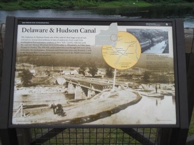
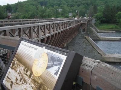
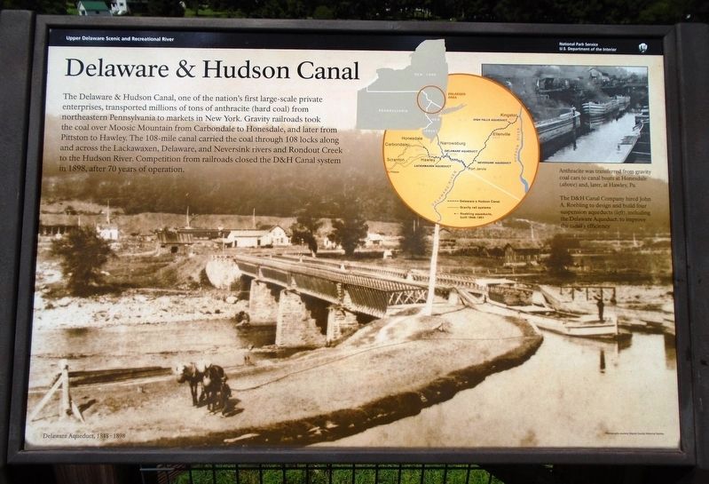
More about this marker. The background of the marker features an old time photograph of the Delaware Aqueduct, and has a caption of “The D&H Canal Company hired John A. Roebling to design and build four suspension aqueducts (left), including the Delaware Aqueduct, to improve the canal’s efficiency.” The upper right of the marker contains a photograph of canal boats in the water with a caption of “Anthracite was transferred from gravity coal cars to canal boats at Honesdale (above) and later, at Hawley, Pa.” Also on the marker is a map of the tri-state area, showing the route of the canal and locations of several aqueducts.
Related markers. Click here for a list of markers that are related to this marker. Markers found at the Delaware Aqueduct Nation
Park Service Unit.
Also see . . . Roebling's Delaware Aqueduct. National Park Service website. (Submitted on July 6, 2009, by Bill Coughlin of Woodland Park, New Jersey.)
Credits. This page was last revised on August 7, 2018. It was originally submitted on July 6, 2009, by Bill Coughlin of Woodland Park, New Jersey. This page has been viewed 913 times since then and 15 times this year. Photos: 1, 2, 3, 4. submitted on July 6, 2009, by Bill Coughlin of Woodland Park, New Jersey. 5. submitted on August 7, 2018, by William Fischer, Jr. of Scranton, Pennsylvania.


