Santa Cruz in Santa Cruz County, California — The American West (Pacific Coastal)
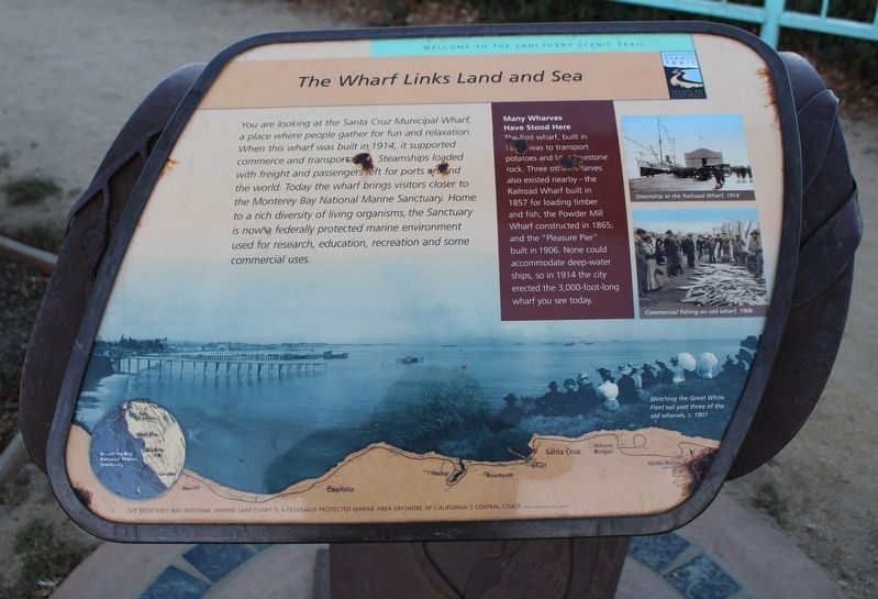
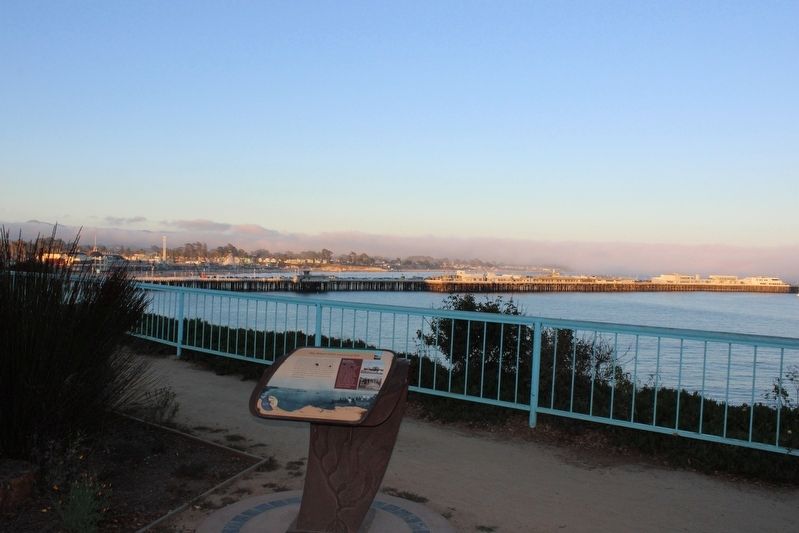
The Wharf Links Land and Sea
Welcome to the Sanctuary Scenic Trail
Many Wharves Have Stood Here
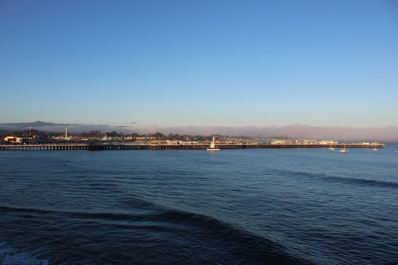
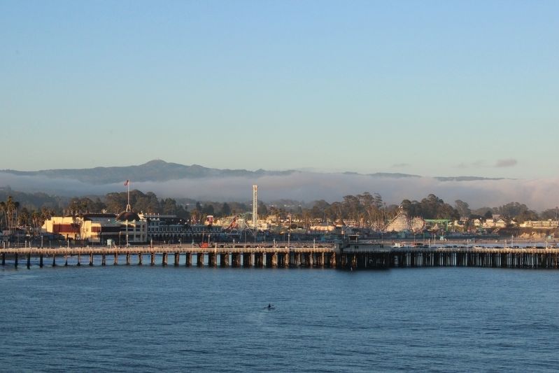
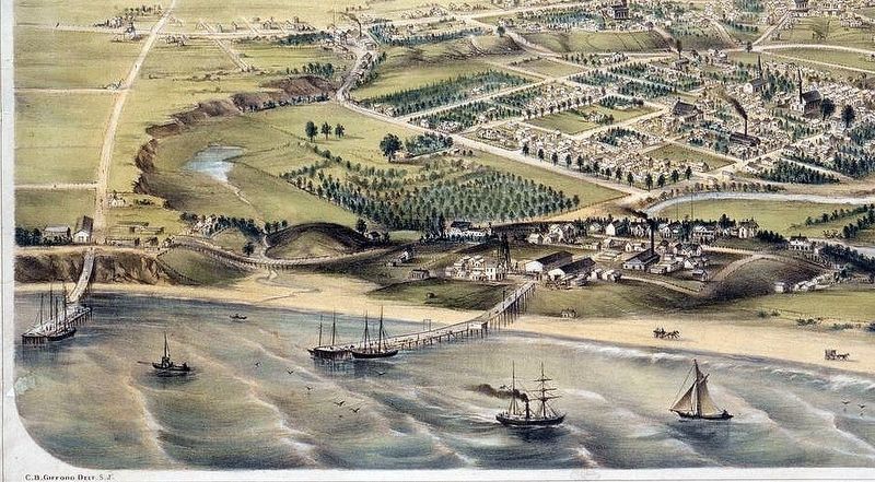
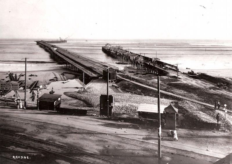
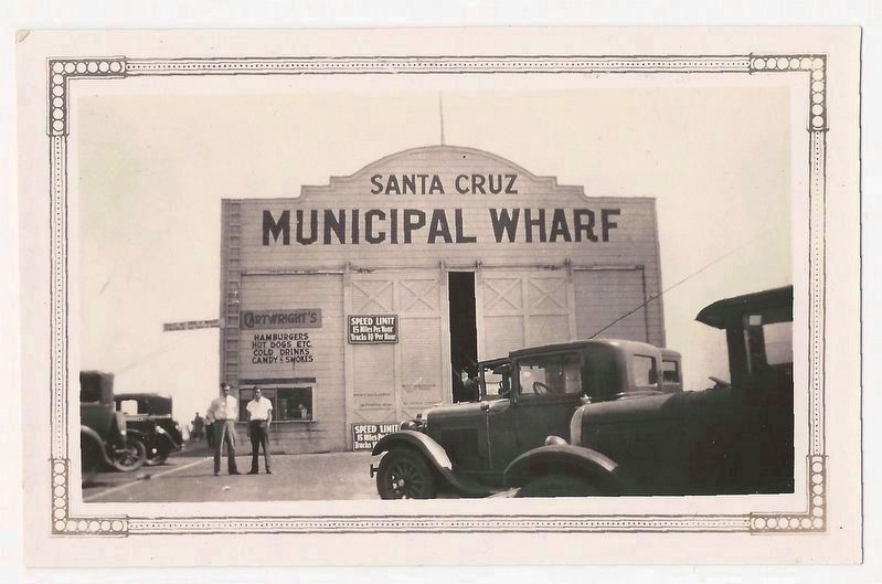
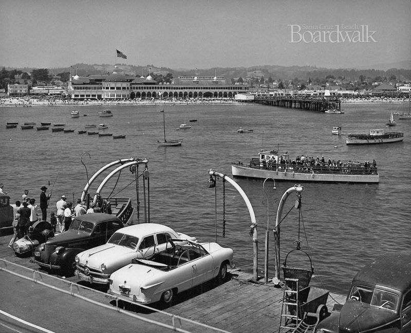
The first wharf was built in 18??, was to transport potatoes and large limestone rock. Three other wharves also existed nearby – the Railroad Wharf built in 1857 for loading timber and fish; the Powder Mill Wharf constructed in 1865; and the “Pleasure Pier” built in 1906. None could accommodate deep-water ships, so in 1914 the city erected the 3,000-foot-long wharf you see today.
Erected by Monterey Bay National Marine Sanctuary.
Topics. This historical marker is listed in these topic lists: Bridges & Viaducts • Industry & Commerce • Parks & Recreational Areas • Railroads & Streetcars. A significant historical year for this entry is 1857.
Location. 36° 57.583′ N, 122° 1.537′ W. Marker is in Santa Cruz, California, in Santa Cruz County. Marker is at the intersection of West Cliff Drive and Gharkey Street, on the right when traveling north on West Cliff Drive. The marker is mounted to a metal stand in the form of a wave and kelp. Touch for map. Marker is in this post office area: Santa Cruz CA 95060, United States of America. Touch for directions.
Other nearby markers. At least 8 other markers are within walking distance of this marker. Rockcrest Iliff House (within shouting distance of this marker); Epworth-By-The-Sea (about 400 feet away, measured in a direct line); 135 Gharkey (about 500 feet away); Sedgwick Lynch House (approx. 0.2 miles away); O’Neill’s Surf Shop (approx. 0.2 miles away); Welcome to the Santa Cruz Wharf (approx. ¼ mile away); Saint Joseph Marello (approx. 0.3 miles away); La Barranca Park (approx. 0.3 miles away). Touch for a list and map of all markers in Santa Cruz.
Also see . . . Ships and wharves of old Santa Cruz.
"But shipping was no easy task. Where wharves were not available, schooners had to be loaded from rowboats, and passengers either waded to get into these boats, or were carried by a strong sailor through the tide. This was of little concern on the frontier, but when sacks of produce were splashed, they could mildew and rot on their way to the San Francisco market. So in 1849, blacksmith Elihu Anthony, with his general store partner Edwin S. Penfield, sought to build the town’s first wharf. They started the wharf up on West Cliff at the end of Bay Street, and sloped it downward towards the level of a ship’s deck."(Submitted on September 11, 2022, by Joseph Alvarado of Livermore, California.)
Additional commentary.
1. Santa Cruz Historic Building Survey, Volume I, 1976, Page 26
”Foot of Washington, Municipal Wharf, 1914
A typical ocean pier, originally to accommodate shipping and now largely devoted to restaurants and pleasure fishing.
[Architectural Significance as an Example of its Style:] Excellent.”
— Submitted September 11, 2022, by Joseph Alvarado of Livermore, California.
Credits. This page was last revised on September 11, 2022. It was originally submitted on September 11, 2022, by Joseph Alvarado of Livermore, California. This page has been viewed 81 times since then and 8 times this year. Photos: 1, 2, 3, 4, 5, 6, 7, 8. submitted on September 11, 2022, by Joseph Alvarado of Livermore, California.
