Port Lavaca in Calhoun County, Texas — The American South (West South Central)
Clark Cemetery
Photographed by Dave W, March 13, 2022
1. Clark Cemetery Marker
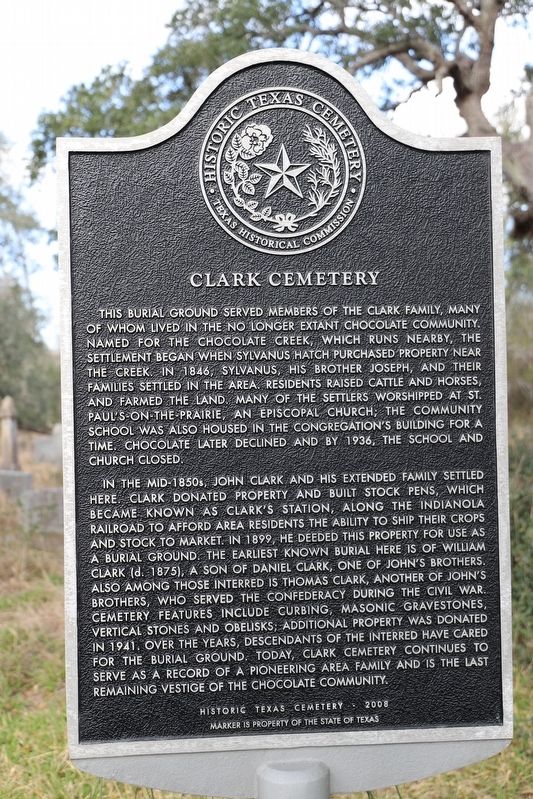
This burial ground served members of the Clark family, many of whom lived in the no longer extant Chocolate Community. Named for the Chocolate Creek, which runs nearby, the settlement began when Sylvanus Hatch purchased property near the creek. In 1846, Sylvanus, his brother Joseph, and their families settled in the area. Residents raised cattle and horses, and farmed the land. Many of the settlers worshipped at St. Paul’s-on-the-Prairie, an Episcopal church; the community school was also housed in the congregation’s building for a time. Chocolate later declined and by 1936, the school and church closed.
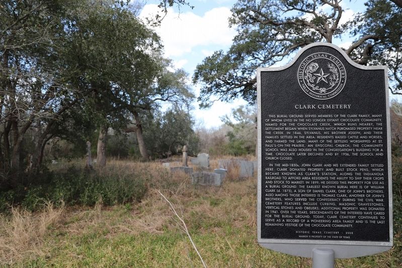
In the mid-1850s, John Clark and his extended family settled here. Clark donated property and built stock pens, which became known as Clark’s Station, along the Indianola Railroad to afford area residents the ability to ship their crops and stock to market. In 1899, he deeded this property for use as a burial ground. The earliest known burial here is of William Clark (d. 1875), a son of Daniel Clark, one of John’s brothers. Also among those interred is Thomas Clark, another of John’s brothers, who served the Confederacy during the Civil War. Cemetery features include curbing, masonic gravestones, vertical stones and obelisks; additional property was donated in 1941. Over the years, descendants of the interred have cared for the burial ground. Today, Clark Cemetery continues to serve as a record of a pioneering area family and is the last remaining vestige of the Chocolate Community.
Erected 2008 by Texas Historical Commission. (Marker Number 15856.)
Topics. This historical marker is listed in these topic lists: Agriculture • Religion & Religious Structures • Settlements & Settlers. A significant historical year for this entry is 1846.
Location. 28° 36.168′ N, 96° 42.466′ W. Marker is in Port
this page online

Regionally, this marker is in the American South and on the Gulf Coast. Globally, it is in North America, a Gulf of Mexico state, the Western Hemisphere, the Western World, and the Anglosphere. Historically, it finds itself in what was once New Spain, the Republic of Texas, and one of the Confederate States of America.
Other nearby markers. At least 8 other markers are within 4 miles of this marker, measured as the crow flies: Sylvanus Hatch (approx. one mile away); Chocolate Community (approx. one mile away); Hatch Cemetery (approx. one mile away); Calhoun County (approx. 1.6 miles away); Moses Johnson, M.D. (approx. 1.6 miles away); Kamey Community (approx. 3 miles away); Battle of Norris Bridge (approx. 3.9 miles away); Edward Fred Knipling (approx. 3.9 miles away). Touch for a list and map of all markers in Port Lavaca.
Photographed by Dave W, March 13, 2022
2. Clark Cemetery Marker
Credits. This page was last revised on September 25, 2022. It was originally submitted on September 12, 2022, by Dave W of Co, Colorado. This page has been viewed 362 times since then and 40 times this year. Photos: 1, 2. submitted on September 12, 2022, by Dave W of Co, Colorado. • J. Makali Bruton was the editor who published this page.
