Three Forks in Gallatin County, Montana — The American West (Mountains)
Airway Radio Station
Photographed by Barry Swackhamer, August 4, 2022
1. Airway Radio Station Marker
Inscription.
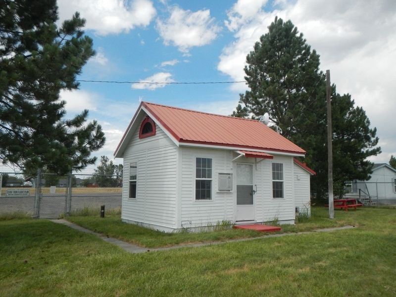
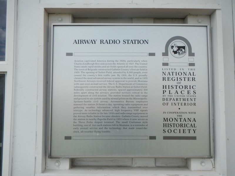
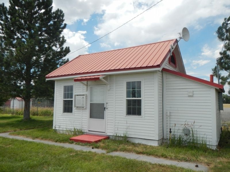
Airway Radio Station. . Aviation captivated America during the 1920s, particularly when Charles Lindbergh flew solo across the Atlantic in 1927. The United States made rapid strides and airfields opened all over the country. The town of Belgrade constructed Gallatin Countys first airfield in 1929. The opening of Siefert Field, attended by 8,000 people, even caused the countys first traffic jam. By 1930, the U.S. proudly claimed the most advanced airway system in the world, and in 1935 Northwest Airways received federal approval to provide Montana with east-west airmail service. The U.S. Department of Commerce subsequently constructed the Airway Radio Station at Siefert Field. Federally constructed airway stations, spaced approximately 200 miles apart along the airways, provided services critical to the development of civil aviation. The station housed the radio range and ground-to-air system used by airmail pilots on the Minneapolis-Spokane-Seattle civil airway. Aeronautics Bureau employees manned the station 24 hours a day, operating radio equipment and gathering weather information, which they transmitted over teletype. As technology advanced, high frequency VHF signals proved more reliable in the 1930s and radio range equipment in the Airway Radio Station became obsolete. Gallatin County moved the station to nearby Pogreba Field in 1953, where it now serves as the Three Forks Airport terminal. The small Craftsman style building, one of two such stations left in Montana, is a reminder of early airmail service and the technology that made round-the-clock, all-weather flying feasible.
Aviation captivated America during the 1920s, particularly when Charles Lindbergh flew solo across the Atlantic in 1927. The United States made rapid strides and airfields opened all over the country. The town of Belgrade constructed Gallatin Countys first airfield in 1929. The opening of Siefert Field, attended by 8,000 people, even caused the countys first traffic jam. By 1930, the U.S. proudly claimed the most advanced airway system in the world, and in 1935 Northwest Airways received federal approval to provide Montana with east-west airmail service. The U.S. Department of Commerce subsequently constructed the Airway Radio Station at Siefert Field. Federally constructed airway stations, spaced approximately 200 miles apart along the airways, provided services critical to the development of civil aviation. The station housed the radio range and ground-to-air system used by airmail pilots on the Minneapolis-Spokane-Seattle civil airway. Aeronautics Bureau employees manned the station 24 hours a day, operating radio equipment and gathering weather information, which they transmitted over teletype. As technology advanced,
Click or scan to see this page online
high frequency VHF signals proved more reliable in the 1930s and radio range equipment in the Airway Radio Station became obsolete. Gallatin County moved the station to nearby Pogreba Field in 1953, where it now serves as the Three Forks Airport terminal. The small Craftsman style building, one of two such stations left in Montana, is a reminder of early airmail service and the technology that made round-the-clock, all-weather flying feasible.
Location. 45° 53.093′ N, 111° 33.794′ W. Marker is in Three Forks, Montana, in Gallatin County. It can be reached from Three Forks Airport Road near Frontage Road (State Highway 2), on the left when traveling west. The building is located behind the fence near the front gate to Three Forks Airport. Touch for map. Marker is at or near this postal address: 1680 Three Forks Airport Road, Three Forks MT 59752,
Regionally, this marker is in Yellowstone Country and in Greater Bozeman. It is also in the American Mountain West and in the Lewis & Clark Corridor. Globally, it is in North America, the Rocky Mountains, the Western Hemisphere, the Western World, and the Anglosphere. Historically, it finds itself in what was once Ruperts Land and also the Louisiana Purchase.
Credits. This page was last revised on September 13, 2022. It was originally submitted on September 13, 2022, by Barry Swackhamer of Brentwood, California. This page has been viewed 241 times since then and 17 times this year. Photos:1, 2, 3. submitted on September 13, 2022, by Barry Swackhamer of Brentwood, California.