Coshocton in Coshocton County, Ohio — The American Midwest (Great Lakes)
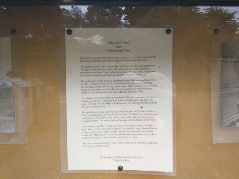
Ohio-Erie Canal and Walhonding Canal
The lock your at is for the Wallooding Canal a 25 mile feeder canal off the Ohio-Erie that runs from Cleveland to Portsmouth 305 miles.
The captain and his wife lived on their boat she being the cook there was a "Hoagie" maintained the mules, and children of the captain running a privately owned boat. They hauled extra mules along the way. A state boat had stables along the path there for could haul more tonnage.
This is the only Triple-Lock on the entire system. This was used from 1840 to 1913. During the flood of 1913 the entire canal system was damaged beyond repair as the cost was too much repair. (This section of Walhonding Canal you see here was used after the canal system was finished to feed water to a Hydro-Electric plant here at Roscoe up to the 1950s.
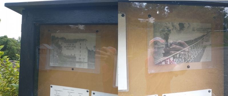
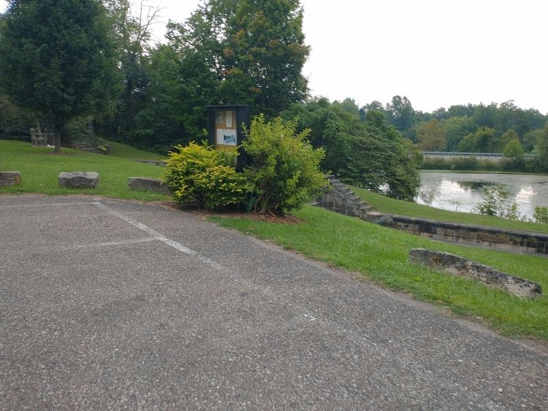
The photo of the mill here is Lee's Empire Mill which sat where the lower Parking lot sits now. The stone wall was the foundation to that mill. The photo with the railroad bridge is looking east. The photo of the mill with the box car is looking west.
The speed limit on the canal was four-miles an hour canal boats if made a wake would damage the sides of the tow-path. The floods and railroad were the demise of the canal system. Canal boats could only travel during non-freezing months. The speed limit and tonnage was limited for canal boats.
The railroad could run 55 mph, 24 hours, seven days a week, 365 days a year. The very first locomotive came to Coshocton County disassembled on a canal boat. It was a narrow gauge (distance between rails) locomotive called the "Mohammed" Later a standard gauge train system was in place ending the canal era. Mohammed was shipped to Texas.
The canal was hand-built by wheel barrow and shovel sometimes drag lines with a pan pulled by horses.
Erected by Walhonding Valley Historical Society.
Topics. This historical marker is listed in these topic lists: Industry & Commerce • Waterways & Vessels. A significant historical year for this entry is 1840.
Location. 40° 17.013′ N, 81° 52.658′ W. Marker is in Coshocton, Ohio, in Coshocton County. Marker is on North Whitewoman Street (County Road 495) north of Hydraulic Street, on the right when traveling north. Touch for map. Marker is in this post office area: Coshocton OH 43812, United States of America. Touch for directions.
Other nearby markers. At least 8 other markers are within walking distance of this marker. Visitor Center - 1992 (approx. 0.2 miles away); Underground Railroad Agents in Coshocton County / Muskingum River Underground Railroad Corridor (approx. 0.2 miles away); Nicholas Schott (approx. 0.2 miles away); Capt. Bill Smart (approx. 0.2 miles away); This Building (approx. 0.2 miles away); Village Smithy - c.1890 (approx. ¼ mile away); Hay Craft and Learning Center - 1987 (approx. ¼ mile away); George LeRetilley House - 1853 (approx. ¼ mile away). Touch for a list and map of all markers in Coshocton.
Credits. This page was last revised on September 23, 2022. It was originally submitted on September 14, 2022, by Craig Doda of Napoleon, Ohio. This page has been viewed 116 times since then and 24 times this year. Photos: 1. submitted on September 14, 2022, by Craig Doda of Napoleon, Ohio. 2, 3, 4, 5. submitted on September 20, 2022, by Craig Doda of Napoleon, Ohio. • Devry Becker Jones was the editor who published this page.


