Palm Springs in Riverside County, California — The American West (Pacific Coastal)
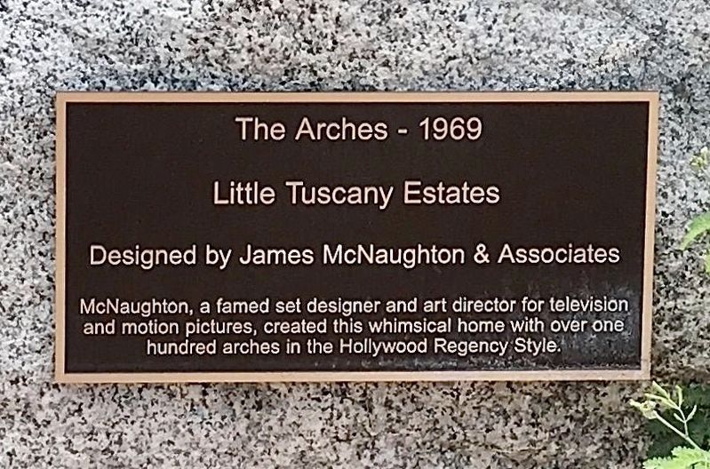
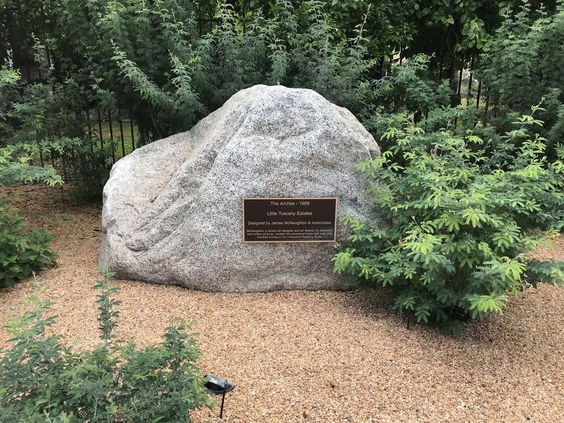
The Arches - 1969
Little Tuscany Estates
—
Designed by James McNaughton & Associates
—
Photographed by Adam Margolis, September 11, 2022
1. The Arches Marker
Inscription.
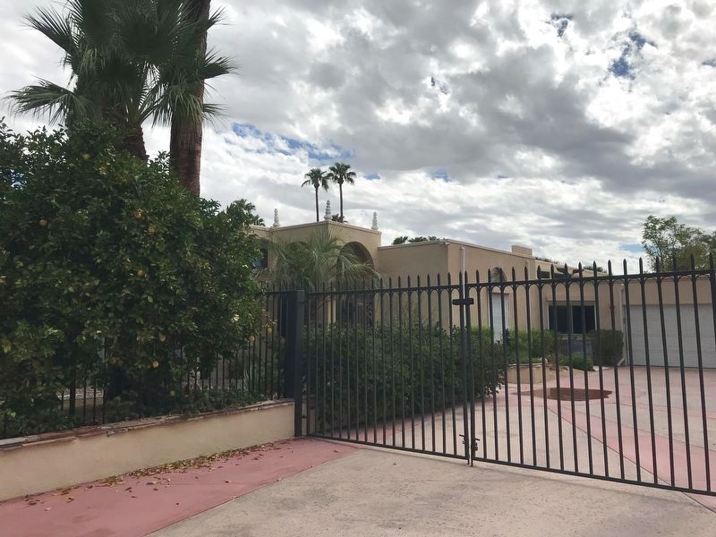
McNaughton, a famed set designer and art director for television and motion pictures, created this whimsical home with over one hundred arches in the Hollywood Regency Style.
Topics. This historical marker is listed in this topic list: Architecture.
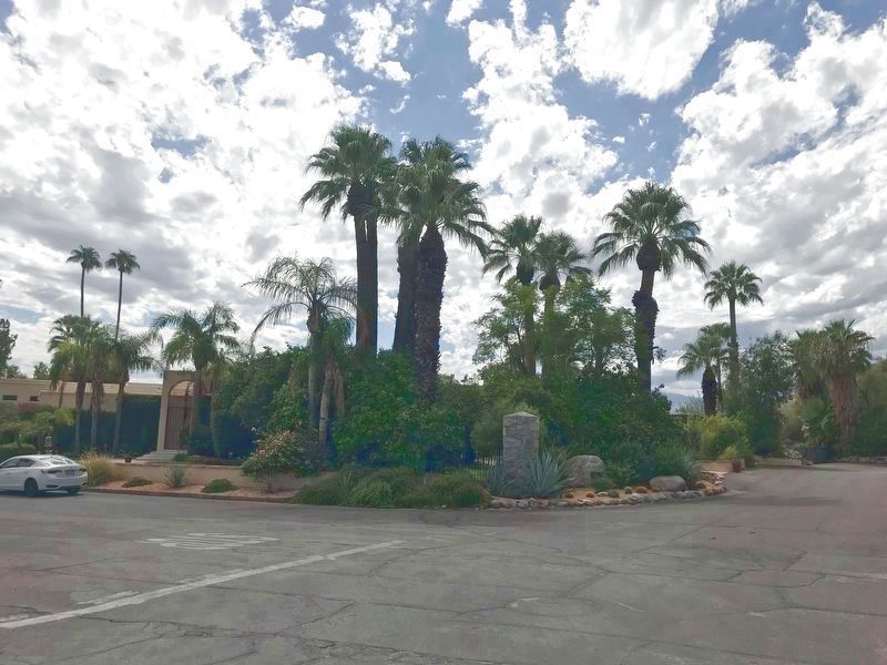
Location. 33° 50.745′ N, 116° 33.254′ W. Marker is in Palm Springs, California, in Riverside County. It is on Chino Canyon Road, on the right when traveling east. Touch for map. Touch for directions.
Regionally, this marker is in California’s Colorado River Valley, specifically in Flagstaff & High Country, on the Mogollon Rim, in the Prescott Area, in Verde Valley, in the White Mountains, in The Valley (the San Fernando Valley), in Greater Los Angeles, in the Inland Empire, in Silicon Valley, in the Coachella Valley, in the Colorado Desert, in the Gold Country, in the High Desert, in the Mojave Desert, in the San Bernardino Mountains, in the Peninsular Ranges, in the San Luis Valley, in the Berkshire Foothills, in the Connecticut River Valley, on the Connecticut Shoreline, on the Gold Coast, in Greater
Click or scan to see this page online
Bridgeport, in Greater Hartford, in Greater New Haven, in Greater New London, in the Knowledge Corridor, in the Litchfield Hills, in Mystic and the Eastern Shore, in the Quiet Corner, in the Thames River Valley, on Delaware’s Beaches, in Southern New Castle County, in the Everglades, on the Florida Keys, on Hilo and East Hawaii, on the Kona Coast, on North Shore Oahu, on Pearl Harbor and Historic West Oahu, in Upcountry Maui, in Lahaina and West Maui, on Windward Oahu, in the Quad Cities, on the Indiana Dunes and Lake Michigan Shore, in the Calumet Region, in the Spirit Lake Nation, in the Mandan, Hidatsa, and Arikara Nation, in the Turtle Mountain Band of Chippewa, on the Oglala Lakota Pine Ridge Reservation, in the Rosebud Sioux Tribe, in the Standing Rock Sioux Tribe, on the Cheyenne River Reservation, in the Crow Creek Sioux Tribe, on the Coeur d'Alene Reservation, in the Lower Brule Sioux Tribe, on the Kootenai Reservation, in the Sisseton-Wahpeton Oyate, on the Wind River Indian Reservation, on the Shoshone–Paiute Duck Valley Reservation, on the Southern Ute Indian Reservation, in the Yankton Sioux Tribe, in the Navajo Nation, on the Shoshone-Bannock Fort Hall Reservation, on the Ute Mountain Ute Indian Reservation, on Nez Perce Tribal Land, in the Blackfeet Nation, in the Crow Nation, in the Flathead Nation, in the Fort Belknap Indian Reservation, on the Fort Peck Indian Reservation, in the Northern Cheyenne Nation, on the Rocky Boy’s Reservation, in the Tohono O’odham Nation, in the White Mountain Apache Nation, in the Yavapai-Apache Nation, in the Amana Colonies, on Mount Desert Island, in the Kennebec Valley, in the Maine Highlands, in Midcoast Maine, on Penobscot Bay, on Southern Maine Coast, in the Western Maine Lakes and Mountains Region, in Greater Bangor, in Greater Portland, in the Baltimore Metro Region, in Central Maryland, in Historic Boston, on Cape Ann, on the North Shore, in the South Coast, on the South Shore, in Greater Boston, on the Straits of Mackinac, on the Boundary Waters Canoe Area Wilderness, in Greater Duluth — The Twin Ports, in Greater Billings, in the Lakes Region, in the Merrimack Valley, in North Jersey, in Central Jersey, on the Jersey Shore, in the Pine Barrens, in Piedmont Triad, on the Cape Fear Coast, on the Crystal Coast, in Greater Asheville, in Greater Charlotte, on the Outer Banks, in the Research Triangle, on the Oregon Coast, in the Blackstone Valley, in Greater Providence, on Narragansett Bay, in Newport and Aquidneck Island, in Historic Charleston, on the Grand Strand, on the Sea Islands, on Waccamaw Neck, in the Ashepoo, Combahee and Edisto Basin, in the Foothills, in Congaree Country, in Greater Burlington, in the Mid-Ohio Valley and in the Jackson Hole Area. It is also in the American Southwest, in the Ohio River Valley, on the Colorado Plateau, in the Black Hills, in the Chesapeake Bay Region, and on the Eastern Seaboard. Globally, it is in the North Atlantic Region, in North America, in the Great North Woods, on the Ring of Fire, in the Pacific Rim, in the Western Hemisphere, in the Western World, and in the Anglosphere. Historically, it finds itself in what was once Fairfield County, Hartford County, Litchfield County, Middlesex County, New Haven County, New London County, Tolland County, Windham County, New Spain, the Viceroyalty of New France,Acadia, and Mexico’s Alta California.
Other nearby markers. At least 8 other markers are within one mile of this marker, measured as the crow flies: The Hollywood House - 1966 (within shouting distance of this marker); Loewy House (within shouting distance of this marker); Hamrick House
Credits. This page was last revised on October 25, 2023. It was originally submitted on September 15, 2022, by Adam Margolis of Mission Viejo, California. This page has been viewed 1,304 times since then and 148 times this year. Photos:1. submitted on September 22, 2023, by Craig Baker of Sylmar, California. 2, 3, 4. submitted on September 15, 2022, by Adam Margolis of Mission Viejo, California. • J. Makali Bruton was the editor who published this page.