Oakland in Colorado County, Texas — The American South (West South Central)
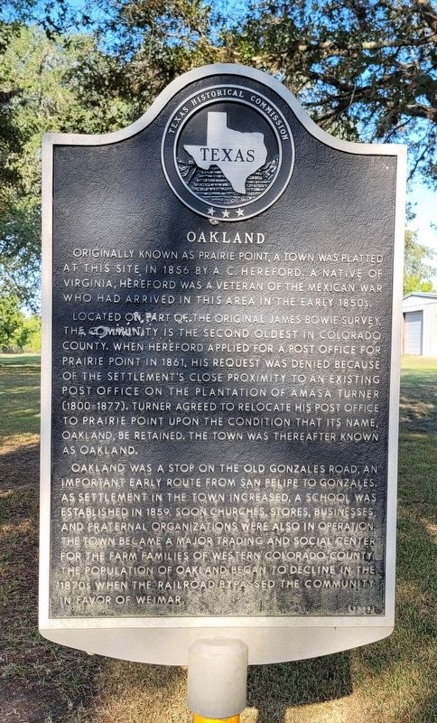
Oakland
Located on part of the original James Bowie Survey, the community is the second oldest in Colorado County. When Hereford applied for a post office for Prairie Point in 1861, his request was denied because of the settlement's close proximity to an existing post office on the plantation of Amasa Turner (1800-1877). Turner agreed to relocate his post office to Prairie Point upon the condition that its name, Oakland, be retained. The town was thereafter known as Oakland.
Oakland was a stop on the Old Gonzales Road, an important early route from San Felipe to Gonzales. As settlement in the town increased, a school was established in 1859. Soon churches, stores, businesses and fraternal organizations were also in operation. The town became a major trading and social center for the farm families of western Colorado County. The population of Oakland began to decline in the 1870s when the railroad bypassed the community in favor of Weimar
Erected 1988 by Texas Historical Commission. (Marker Number 3651.)
Topics. This historical marker is listed in these topic lists: Roads & Vehicles • Settlements & Settlers. A significant historical year for this entry is 1856.
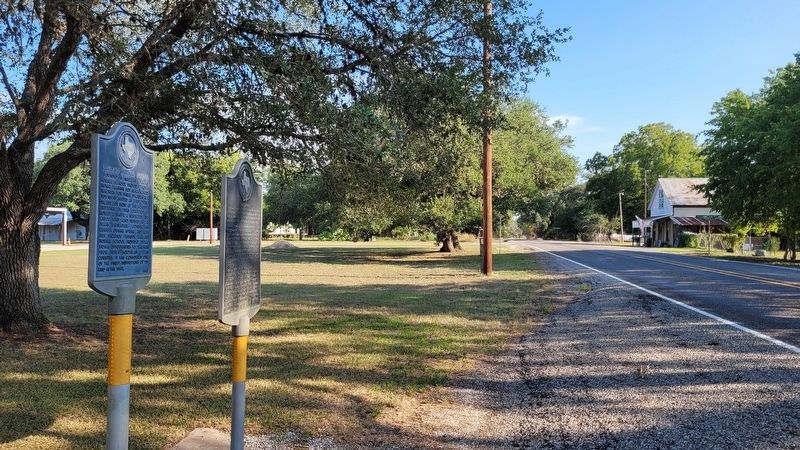
Location. 29° 36.081′ N, 96° 49.849′ W. Marker is in Oakland, Texas, in Colorado County. Marker is at the intersection of Farm to Market Road 532 and Silver Street, on the right when traveling south on Highway 532. The marker is located along the west side of the highway. Touch for map. Marker is at or near this postal address: 1920 FM 532, Oakland TX 78951, United States of America. Touch for directions.
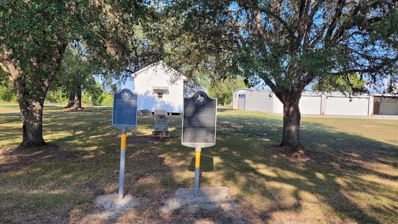
Other nearby markers. At least 8 other markers are within 7 miles of this marker, measured as the crow flies. Oakland Normal School (here, next to this marker); Clear Creek Cemetery (approx. 2.6 miles away); Hackberry (approx. 3½ miles away); Andrews Chapel Cemetery (approx. 3.7 miles away); Trinity Evangelical Lutheran Church (approx. 4.1 miles away); Navidad Baptist Cemetery (approx. 4.4 miles away); Site of Former Town of Lyons (approx. 5.9 miles away); Marshall and Malinda Mitchell (approx. 6½ miles away). Touch for a list and map of all markers in Oakland.
Also see . . .
1. Oakland, TX (Colorado County). Texas State Historical Association
Oakland is just southwest of the intersection of Farm roads 532 and 2144, on the Lavaca county line eight miles south of Weimar in northwest Colorado County. It is on a site originally granted to James Bowie. As early as 1844 the community, then called Prairie Point, had a store on the stage line between Columbus and Gonzales.(Submitted on September 16, 2022, by James Hulse of Medina, Texas.)
2. The Old Gonzales Road. Lost Texas Roads
In 1835, Mexican troops traveled the Road to reclaim a cannon from the Texians in Gonzales. The Texian’s challenge “Come and Take It!” led to the first shots of the Texas Revolution. An historical marker near the present day village of Cost in Gonzales County memorializes the exchange on the San Antonio to Gonzales road (known as the Old Gonzales Road).(Submitted on September 16, 2022, by James Hulse of Medina, Texas.)
Credits. This page was last revised on September 16, 2022. It was originally submitted on September 16, 2022, by James Hulse of Medina, Texas. This page has been viewed 92 times since then and 10 times this year. Photos: 1, 2, 3, 4. submitted on September 16, 2022, by James Hulse of Medina, Texas.


