
Palm Springs in Riverside County, California — The American West (Pacific Coastal)
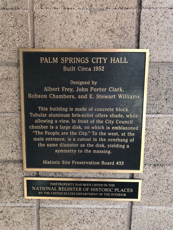
Palm Springs City Hall
Built Circa 1952
Photographed by Adam Margolis, September 14, 2022
1. Palm Springs City Hall Marker
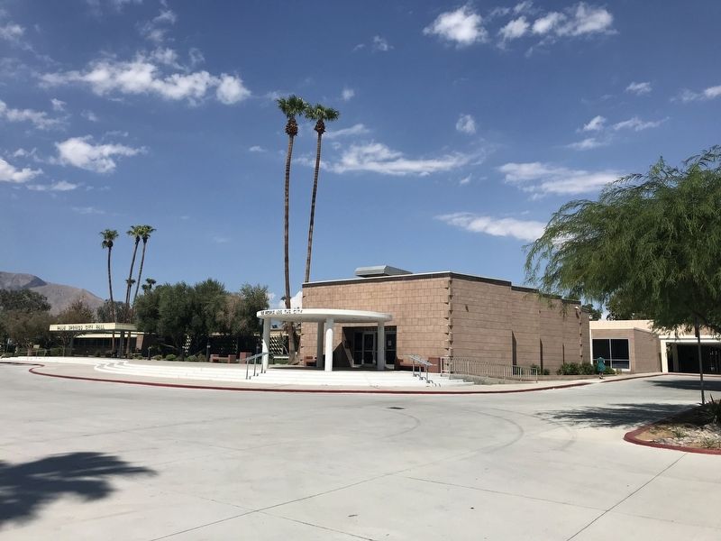
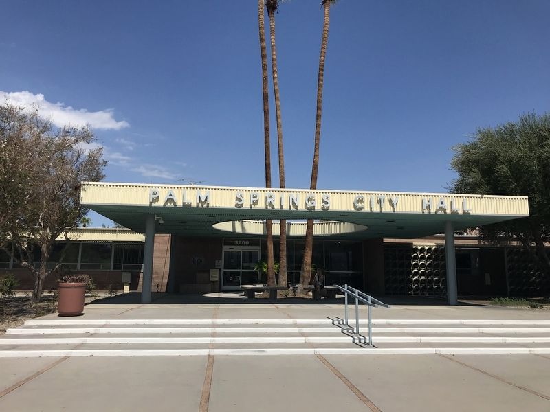
This building is made of concrete block. Tubular aluminum bris-soliel offers shade, while allowing a view. In front of the City Council chamber is a large disk, on which is emblazoned "The People, are the City.” To the west, at the main entrance, is a cutout in the overhang of the same diameter as the disk, yielding a symmetry to the massing. (Marker Number 33.)
Topics. This historical marker is listed in these topic lists: Architecture • Government & Politics.
Location. 33° 49.42′ N, 116° 30.678′ W. Marker is in Palm Springs, California, in Riverside County. It can be reached from East Tahquitz Canyon Way. Touch for map. Marker is in this post office area: Palm Springs CA 92262, United States of America. Touch for directions.

Regionally, this marker is in Greater Los Angeles, in the Coachella Valley, and in the Peninsular Ranges. It is also in the American Southwest. Globally, it is in North America, on the Ring of Fire, in the Pacific Rim, in the Western Hemisphere,
this page online
Other nearby markers. At least 8 other markers are within walking distance of this marker: Charlie Farrell (about 300 feet away, measured in a direct line); The Sunmor Model Home (approx. ¼ mile away); Tie Down on Easemor Circle (approx. 0.4 miles away); Tonopah Test Range Sign (approx. 0.7 miles away); Mikoyan-Gurevich Mig 15 (approx. 0.7 miles away); M725 Ambulance (approx. 0.7 miles away); Palm Springs Air Museum (approx. 0.7 miles away); Tuskegee Airmen (approx. ¾ mile away). Touch for a list and map of all markers in Palm Springs.
Photographed by Adam Margolis, September 14, 2022
2. Palm Springs City Hall Marker
Marker is to the right of the entranceway of the doors (out of view). The marker that is in view (left side of entranceway) is a dedication plaque (refer to additional photos).
Photographed by Adam Margolis, September 14, 2022
3. Palm Springs City Hall Marker

Photographed by Adam Margolis, September 14, 2022
4. Palm Springs City Hall Marker
Plaque directly across from the marker in the same entranceway.

Photographed by Adam Margolis, September 14, 2022
5. Palm Springs City Hall Dedication Plaque
Located at the main entrance, just to the west of the marker by about 150 feet.
Credits. This page was last revised on October 6, 2022. It was originally submitted on September 16, 2022, by Adam Margolis of Mission Viejo, California. This page has been viewed 341 times since then and 27 times this year. Photos: 1, 2, 3, 4, 5. submitted on September 16, 2022, by Adam Margolis of Mission Viejo, California. • Andrew Ruppenstein was the editor who published this page.
