San Felipe in Austin County, Texas — The American South (West South Central)
Governing the Town
Lot 19
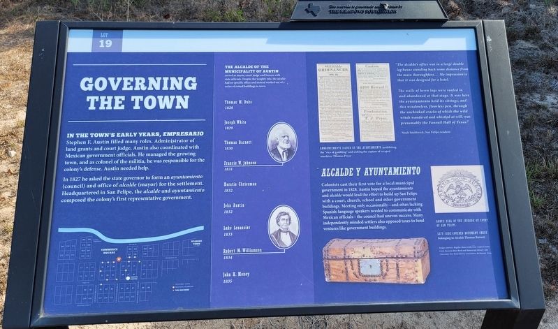
In the Town's Early Years, Empresario Stephen F. Austin filled many roles. Administrator of land grants and court judge, Austin also coordinated with Mexican government officials. He managed the growing town, and as colonel of the militia, he was responsible for the colony's defense. Austin needed help.
In 1827 he asked the state governor to form an ayuntamiento (council) and office of alcalde (mayor) for the settlement. Headquartered in San Felipe, the alcalde and ayuntamiento composed the colony's first representative government.
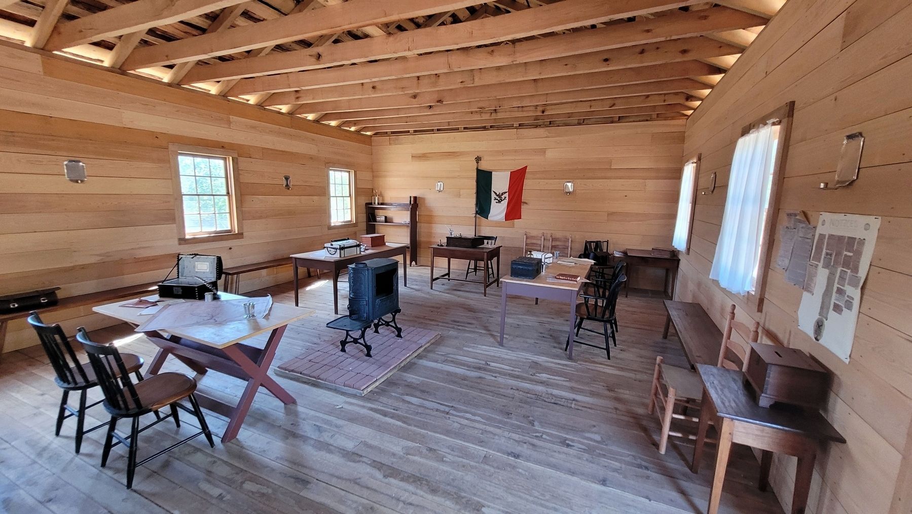
The Alcalde of the Municipality of Austin served as mayor, court judge and liaison with served state officials. Despite the weighty role, the alcalde had no specific office and instead worked out of a series of rented buildings in town.
Thomas M. Duke (1828) • Joseph White (1829) • Thomas Barnett (1830) • Francis W. Johnson (1831) • Horatio Chriesman (1832) • John Austin (1832) • Luke Lesassier (1833) • Robert M. Williamson (1834) • John H. Money (1835)
Alcalde Y Ayuntamiento
Colonists cast their first vote for a local municipal government in 1828. Austin hoped the ayuntamiento and alcalde would lead the effort to build up San Felipe with a court, church, school and other government buildings. Meeting only occasionally - and often lacking Spanish-language speakers needed to communicate with Mexican officials - the council had uneven success. Many independently minded settlers also opposed taxes to fund ventures like government buildings.
"The alcalde's office was in a large double log house standing back some distance from the main thoroughfare.... My impression is that it was designed for a hotel.
The walls of hewn logs were roofed in and abandoned at that stage. It was here the ayuntamiento held its sittings, and this windowless, floorless pen, through the unchinked cracks of which the wild winds wandered and whistled at will, was presumably the Faneuil Hall of Texas."
Noah Smithwick, San Felipe resident
Captions
Upper Right: Announcements Issued by the Ayuntamiento prohibiting the "vice of gambling" and seeking the capture of escaped murderer Thomas Pryor
Lower Left (1): Above: Seal of the Juzgado, or Court of San Felipe
Lower Left (2): Left: Hide-Covered Document Chest belonging to Alcalde Thomas Barnett
Images Courtesy: Rugeley-Moore Collection, Austin County Clerk, Beinecke Rare Book and Manscript Library; Yale University; Fort Bend History Association, Richmond, Texas
Sponsor Plaque on top
This wayside is generosity underwritten by
The Meadows Foundation
Topics. This historical marker is listed in these topic lists: Law Enforcement • Settlements & Settlers • War, Texas Independence. A significant historical year for this entry is 1827.
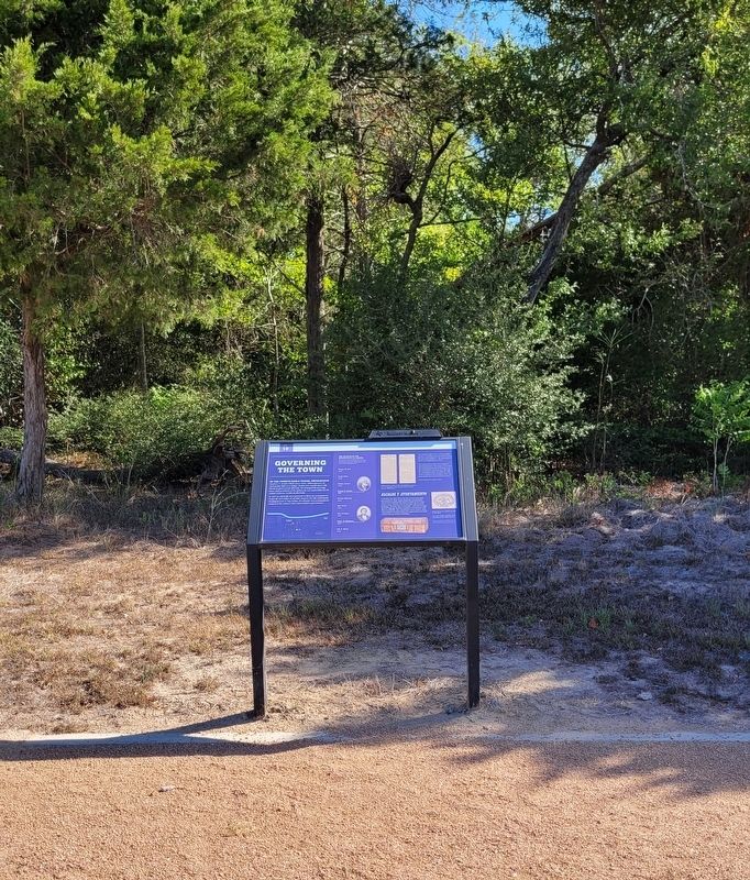
Location. 29° 48.383′ N, 96° 5.79′ W. Marker is in San Felipe, Texas, in Austin County. Marker can be reached from the intersection of 2nd Street and Farm to Market Road 1458. The marker is located in the northern section of the San Felipe de Austin State Historic Site along the pathway. Touch for map. Marker is at or near this postal address: 220 2nd Street, San Felipe TX 77473, United States of America. Touch for directions.
Other nearby markers. At least 8 other markers are within walking distance of this marker. Rio Brazos (within shouting distance of this marker); Clopper Store (within shouting distance of this marker); Founding the Town (within shouting distance of this marker); Building the Town (within shouting distance of this marker); A Home on Commerce Square (within shouting distance of this marker); Business District (about 300 feet away, measured in a direct line); Austin & Perry Stores (about 300 feet away); Burning of the Town (about 400 feet away). Touch for a list and map of all markers in San Felipe.
More about this marker. The marker is located on the grounds of the San Felipe de
Austin Historic Site. There is a small fee to access the historic site and markers.
Also see . . .
1. San Felipe de Austin History. Texas Historical Commission website entry:
San Felipe de Austin was founded in 1824 by Stephen F. Austin as the unofficial capital of his colony. It became the first urban center in the Austin colony, which stretched northward from the Gulf of Mexico as far as the Old San Antonio Road and extended from the Lavaca River in the west to the San Jacinto River in the east. By October 1823, after briefly considering a location on the lower Colorado River, Austin decided to establish his capital on the Brazos River. The site chosen was on a high, easily defensible bluff overlooking broad, fertile bottomlands. The location offered a number of advantages, including a central location and sources of fresh water independent of the Brazos.(Submitted on September 17, 2022, by James Hulse of Medina, Texas.)
2. Austin, Stephen Fuller (1793–1836). Texas State Historical Association website entry:
Stephen Fuller Austin, founder of Anglo-American Texas, son of Moses and Maria (Brown) Austin, was born at the lead mines in southwestern Virginia on November 3, 1793.(Submitted on September 17, 2022, by James Hulse of Medina, Texas.)
Credits. This page was last revised on March 5, 2024. It was originally submitted on September 17, 2022, by James Hulse of Medina, Texas. This page has been viewed 73 times since then and 7 times this year. Photos: 1, 2, 3, 4. submitted on September 17, 2022, by James Hulse of Medina, Texas.


