Mountain Rest in Oconee County, South Carolina — The American South (South Atlantic)
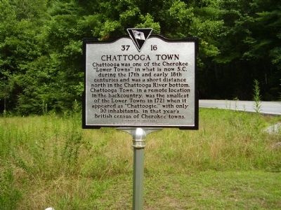
Chattooga Town
Chattooga was one of the Cherokee "Lower Towns" in what is now S.C. during the 17Th and early 18Th centuries and was a short distance north in the Chattooga River bottom. Chattooga Town, in a remote location in the backcountry, was the smallest of the Lower Towns in 1721 when it appeared as "Chattoogie," with only 90 inhabitants, in that year's British census of Cherokee towns.
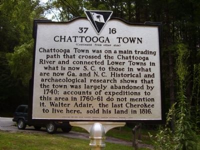
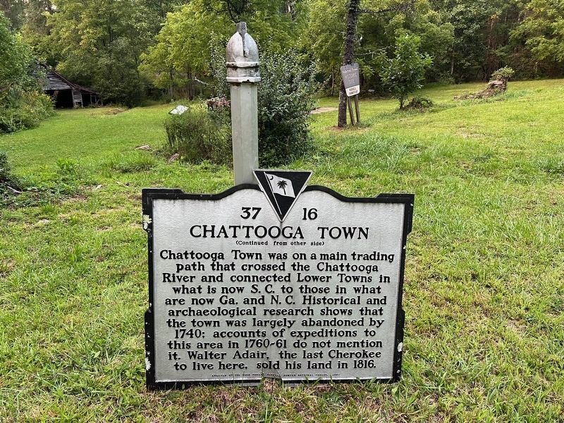
Chattooga Town was on a main trading path that crossed the Chattooga River and connected Lower Towns in what is now S.C. to those in what are now Ga. and N.C. Historical and archaeological research shows that the town was largely abandoned by 1740; accounts of expeditions to this area in 1760-61 do not mention it. Walter Adair, the last Cherokee to live here, sold his land in 1816.
Erected 2007 by By the USDA Forest Service, Sumter National Forest. (Marker Number 37 16.)
Topics. This historical marker is listed in these topic lists: Native Americans • Settlements & Settlers. A significant historical year for this entry is 1721.
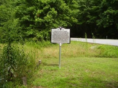
Location. 34° 54.564′ N, 83° 10.364′ W. Marker has been damaged. Marker is in Mountain Rest, South Carolina, in Oconee County. Marker is on Highlands Highway (Route 28). Touch for map. Marker is in this post office area: Mountain Rest SC 29664, United States of America. Touch for directions.
Other nearby markers. At least 8 other markers are within 5 miles of this location, measured as the crow flies. Russell House (approx. 0.9 miles away); Chauga Town (approx. 4.1 miles away); A Building with a Past (approx. 4.9 miles away); The Civilian Conservation Corps (approx. 4.9 miles away); Civilian Conservation Corps Monument (approx. 4.9 miles away); Oconee State Park (approx. 4.9 miles away); Cherokee Boundary (1777) (approx. 4.9 miles away); Building a Tradition (approx. 4.9 miles away). Touch for a list and map of all markers in Mountain Rest.
Credits. This page was last revised on September 18, 2022. It was originally submitted on July 19, 2009, by Stanley and Terrie Howard of Greer, South Carolina. This page has been viewed 5,259 times since then and 114 times this year. Last updated on September 17, 2022, by Robert Dennis of Atlanta, Georgia. Photos: 1, 2, 3. submitted on July 19, 2009, by Stanley and Terrie Howard of Greer, South Carolina. 4. submitted on September 17, 2022, by Robert Dennis of Atlanta, Georgia. • Bernard Fisher was the editor who published this page.


