Lower Township near Cape May in Cape May County, New Jersey — The American Northeast (Mid-Atlantic)
The Cape May Lighthouse
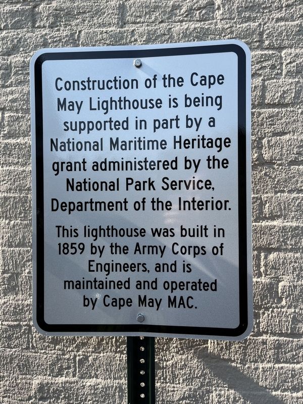
Construction of the Cape May Lighthouse is being supported in part by a National Maritime Heritage grant administered by the National Park Service, Department of the Interior.
This lighthouse was built in 1859 by the Army Corps of Engineers, and is maintained and operated by Cape May MAC.
Erected by The Mid-Atlantic Center for the Arts & Humanities.
Topics and series. This historical marker is listed in these topic lists: Communications • Waterways & Vessels. In addition, it is included in the Lighthouses series list. A significant historical year for this entry is 1859.
Location. 38° 55.977′ N, 74° 57.62′ W. Marker is near Cape May, New Jersey, in Cape May County. It is in Lower Township. Marker can be reached from the intersection of Light House Avenue (County Road 629) and Lehigh Avenue, on the left when traveling south. Touch for map. Marker is at or near this postal address: 215 Light House Ave, Cape May NJ 08204, United States of America. Touch for directions.
Other nearby markers. At least 8 other markers are within walking distance of this marker. Monomoy Lifesaving Boat (a few steps from this marker); Lighthouse Keepers' Homes & Gardens (a few steps from this marker); Oil House (a few steps from this marker); Welcome to the Cape May Lighthouse (a few steps from this marker); Maritime Sentinels (within shouting distance of this marker); a different marker also named Oil House (within shouting distance of this marker); Fragile Flyers (about 300 feet away, measured in a direct line); Swarms of Dragonflies (about 400 feet away). Touch for a list and map of all markers in Cape May.

Photographed By Devry Becker Jones (CC0), September 17, 2022
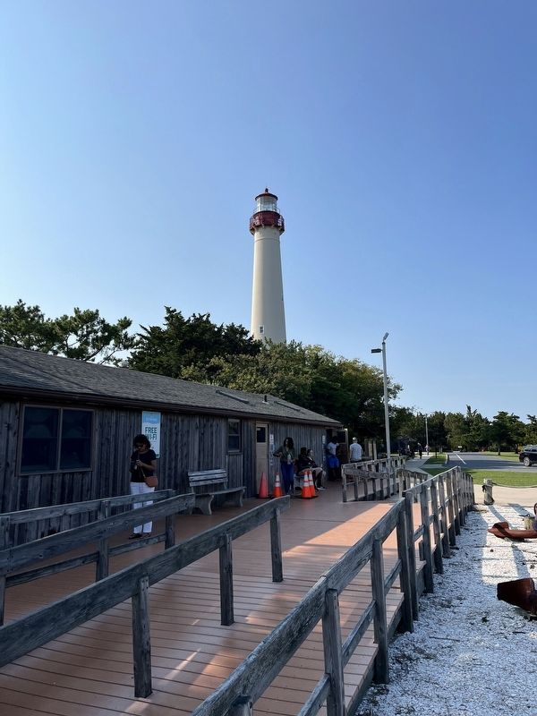
3. A view of the lighthouse from the visitor center
Credits. This page was last revised on February 7, 2023. It was originally submitted on September 19, 2022, by Devry Becker Jones of Washington, District of Columbia. This page has been viewed 72 times since then and 9 times this year. Photos: 1, 2, 3. submitted on September 19, 2022, by Devry Becker Jones of Washington, District of Columbia.

