South San Francisco in San Mateo County, California — The American West (Pacific Coastal)
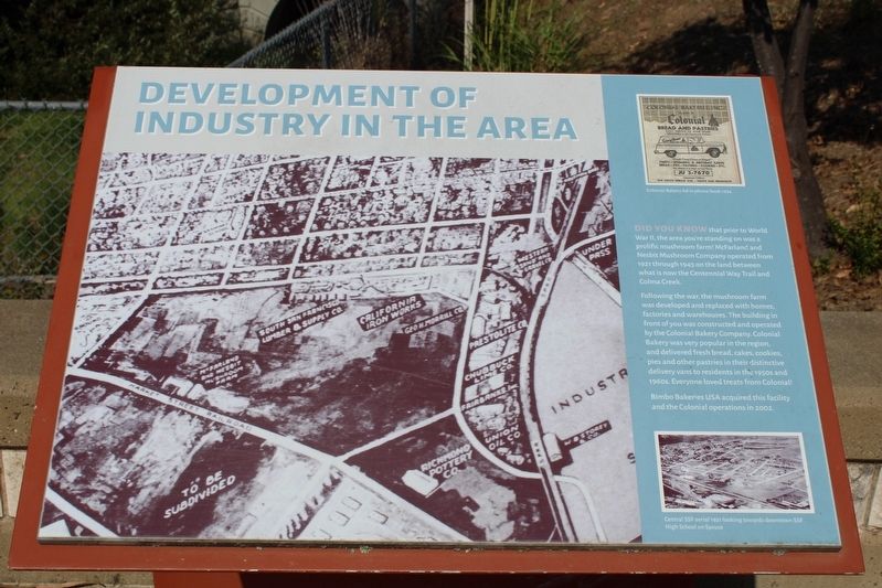
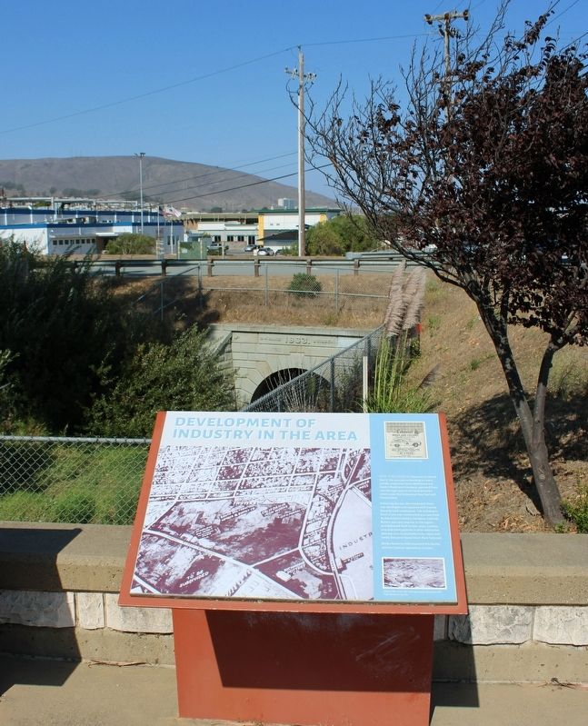
Development of Industry in the Area
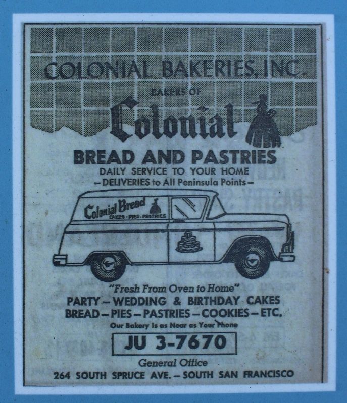
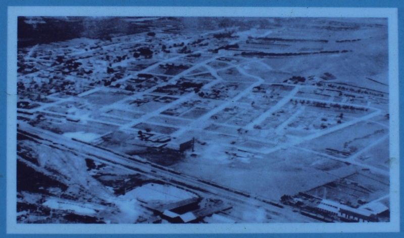
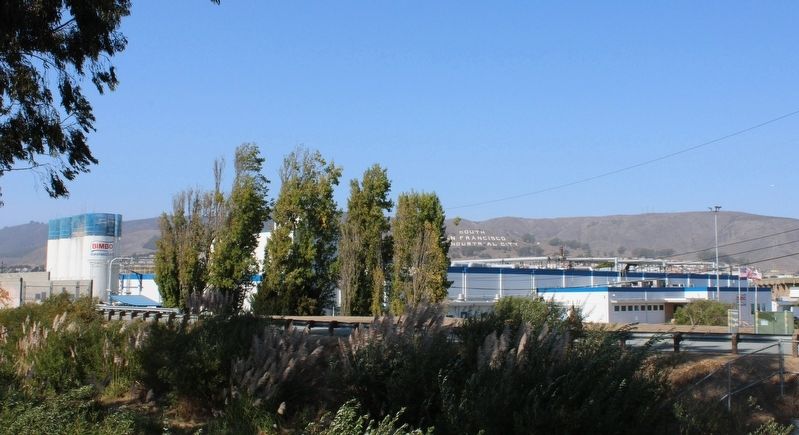
Following the war, the mushroom farm was developed and replaced with homes, factories and warehouses. The building in front of you was constructed and operated by the Colonial Bakery Company. Colonial Bakery was very popular in the region., and delivered fresh bread, cakes, cookies, pies and other pastries in their distinctive delivery vans to residents in the 1950s and 1960s. Everyone loved treats from Colonial!
Bimbo Bakery USA acquired this facility and the Colonial operations in 2002.
Topics. This historical marker is listed in these topic lists: Agriculture • Industry & Commerce. A significant historical year for this entry is 1921.
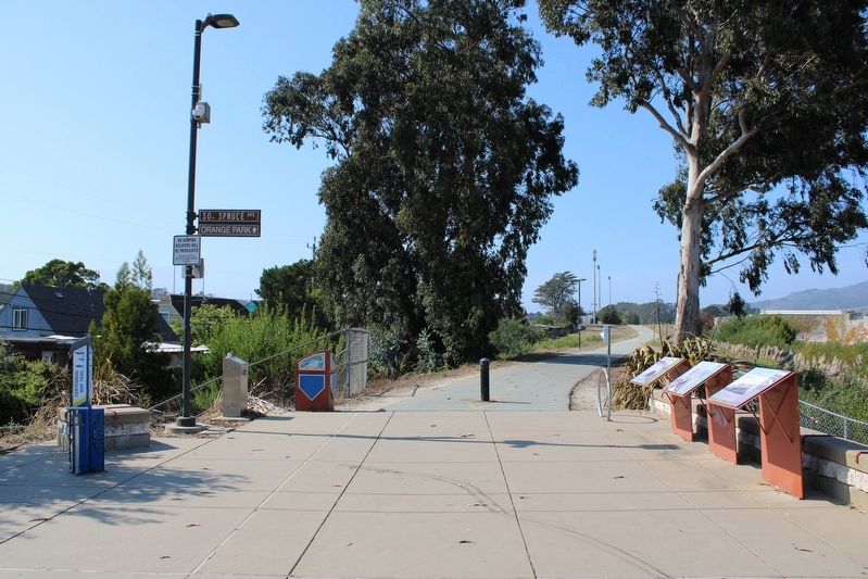
Location. 37° 38.755′ N, 122° 25.317′ W. Marker is in South San Francisco, California, in San Mateo County. Marker is at the intersection of South Spruce Avenue and Centennial Way Trail, on the left when traveling east on South Spruce Avenue. The resin marker is mounted to a metal stand north of the intersection. Touch for map. Marker is in this post office area: South San Francisco CA 94080, United States of America. Touch for directions.
Other nearby markers. At least 8 other markers are within walking distance of this marker. Cut Stone Bridge (here, next to this marker); Transportation Evolution (here, next to this marker); Tanforan Racetrack Japanese Assembly Center (approx. 0.7 miles away); First Shipboard Landing (approx. 0.7 miles away); Seabiscuit (approx. ¾ mile away); Tanforan Assembly Center Commemorative Garden (approx. ¾ mile away); Plymire-Schwarz House (approx. 0.8 miles away); South San Francisco General Hospital (approx. 0.8 miles away). Touch for a list and map of all markers in South San Francisco.
Credits. This page was last revised on September 20, 2022. It was originally submitted on September 20, 2022, by Joseph Alvarado of Livermore, California. This page has been viewed 173 times since then and 11 times this year. Photos: 1, 2, 3, 4, 5, 6. submitted on September 20, 2022, by Joseph Alvarado of Livermore, California.
