Near Cherry Valley in Otsego County, New York — The American Northeast (Mid-Atlantic)
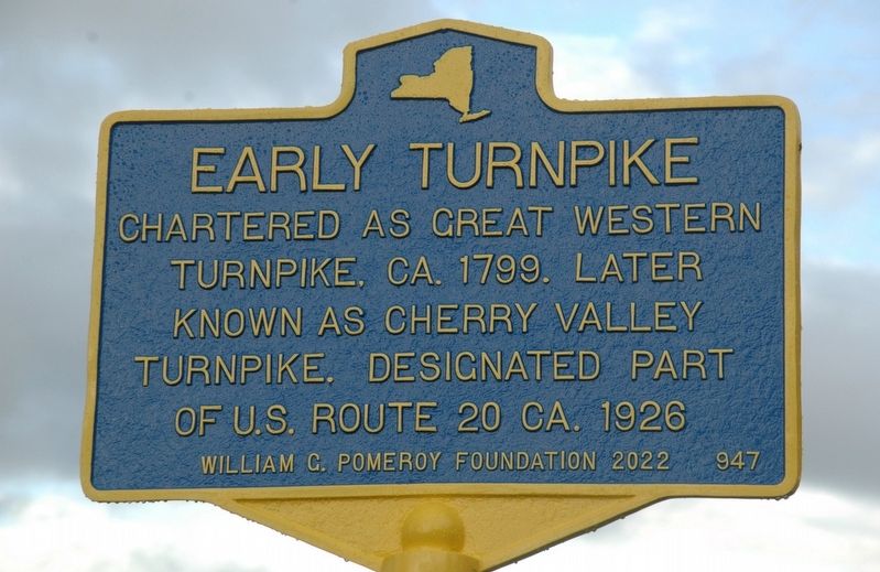
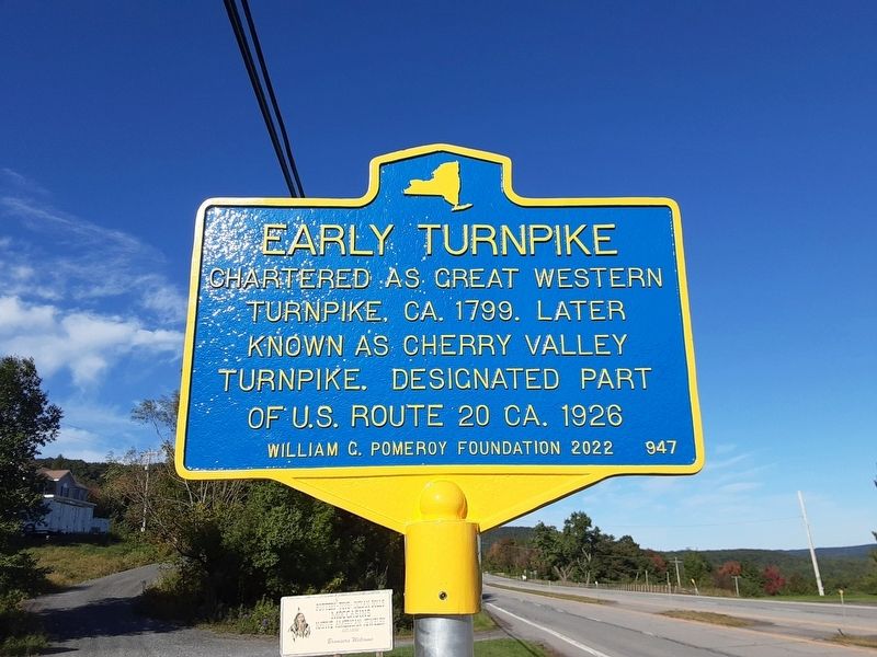
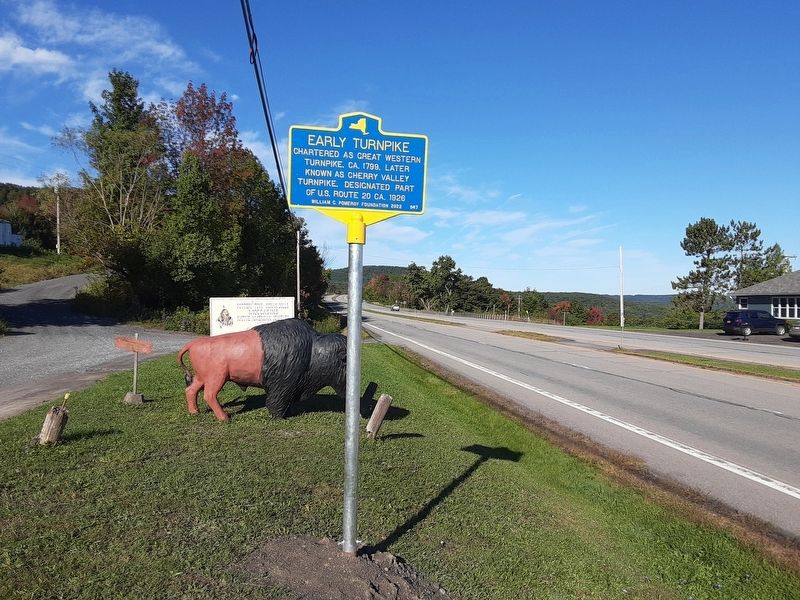
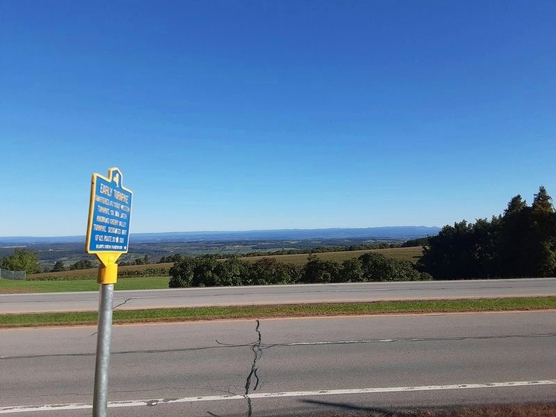
Early Turnpike
Turnpike, CA. 1799. Later
Known As Cherry Valley
Turnpike. Designated Part
of U.S. Route 20 ca 1926
Erected 2022 by William G. Pomeroy Foundation. (Marker Number 947.)
Topics. This historical marker is listed in this topic list: Roads & Vehicles. A significant historical year for this entry is 1799.
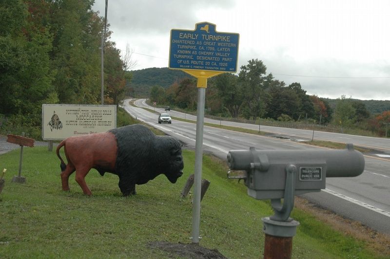
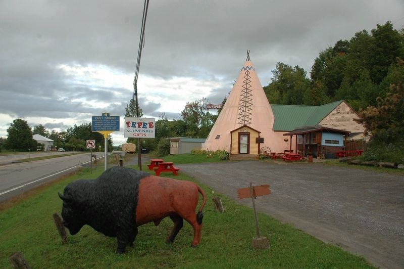
Location. 42° 48.48′ N, 74° 41.093′ W. Marker is near Cherry Valley, New York, in Otsego County. Marker is on U.S. 20, on the right when traveling east. The marker can be visited from the parking lot of The Tepee Souvenirs & Gifts, a long time roadside attraction in the area beside US Route 20. Touch for map. Marker is at or near this postal address: 7632 US-20, Cherry Valley NY 13320, United States of America. Touch for directions.
Other nearby markers. At least 8 other markers are within 4 miles of this marker, measured as the crow flies. Lieutenant Wormuth Killed (approx. 2.9 miles away); Flint Homesite (approx. 2.9 miles away); Henry Seeber (approx. 3.4 miles away); Town of Sharon (approx. 3.4 miles away); a different marker also named Town of Sharon (approx. 3.4 miles away); Battle of Sharon (approx. 3.4 miles away); Rockville (approx. 3.4 miles away); The Lehman Block (approx. 3.4 miles away).
More about this marker . The marker was unveiled on Thursday, September 22, 2022.
Also see . . .
1. Historic Route 20. (Submitted on September 23, 2022, by Howard C. Ohlhous of Duanesburg, New York.)
2. About The Tepee. (Submitted on September 23, 2022, by Howard C. Ohlhous of Duanesburg, New York.)
Additional keywords. The Tepee First Great Western Turnpike Second Great Western Turnpike Third Great Western Turnpike 1st Great Western Turnpike 2nd Great Western Turnpike 3rd Great Western Turnpike
Credits. This page was last revised on September 26, 2022. It was originally submitted on September 22, 2022, by Howard C. Ohlhous of Duanesburg, New York. This page has been viewed 122 times since then and 15 times this year. Photos: 1, 2, 3. submitted on September 22, 2022, by Howard C. Ohlhous of Duanesburg, New York. 4, 5, 6. submitted on September 24, 2022, by Scott J. Payne of Deposit, New York. • Bill Pfingsten was the editor who published this page.
