Liberty in Liberty County, Texas — The American South (West South Central)
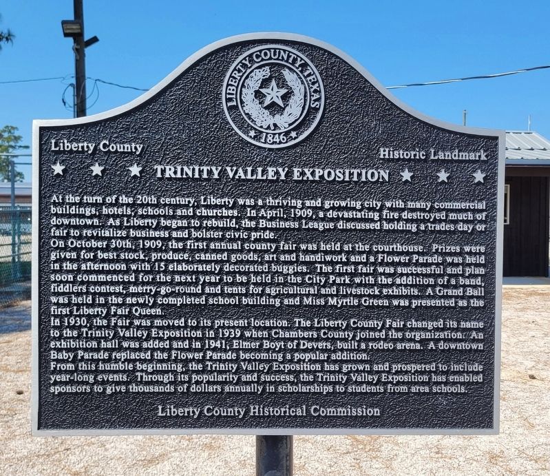
Trinity Valley Exposition
Liberty County Historic Landmark
On October 30th, 1909, the first annual county fair was held at the courthouse. Prizes were given for best stock, produce, canned goods, art and handiwork and a Flower Parade was held in the afternoon with 15 elaborately decorated buggies. The first fair was successful and plan soon commenced for the next year to be held in the City Park with the addition of a band, fiddlers contest, merry-go-round and tents for agricultural and livestock exhibits. A Grand Ball was held in the newly completed school building and Miss Myrtle Green was presented as the first Liberty Fair Queen.
In 1930, the Fair was moved to its present location. The Liberty County Fair changed its name to the Trinity Valley Exposition in 1939 when Chambers County joined the organization. An exhibition hall was added and in 1941, Elmer Boyt of Devers, built a rodeo arena. A downtown Baby Parade replaced the Flower Parade becoming a popular addition.
From this humble beginning, the Trinity Valley Exposition has grown and prospered to include year-long events. Through its popularity and success, the Trinity Valley Exposition has enabled sponsors to give thousands of dollars annually in scholarships to students from area schools.
Erected 2016 by Liberty County Historical Commission.
Topics. This historical marker is listed in these topic lists: Animals • Disasters • Entertainment • Parks & Recreational Areas. A significant historical month for this entry is April 1909.
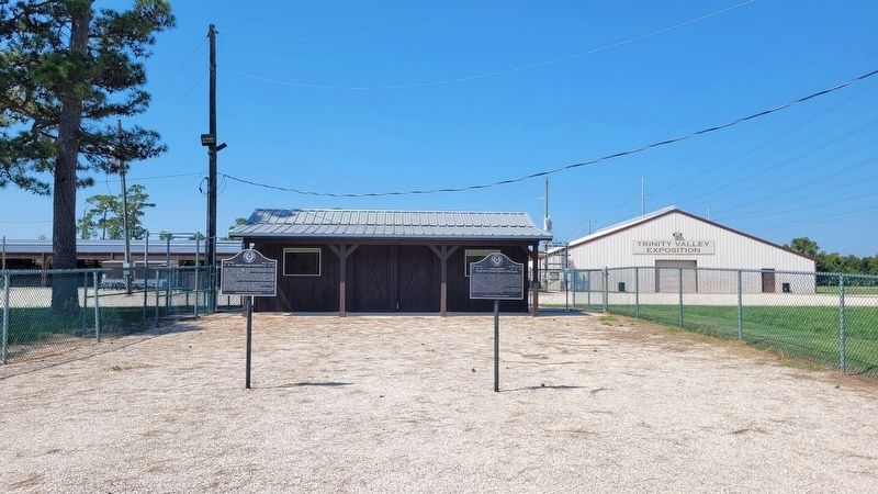
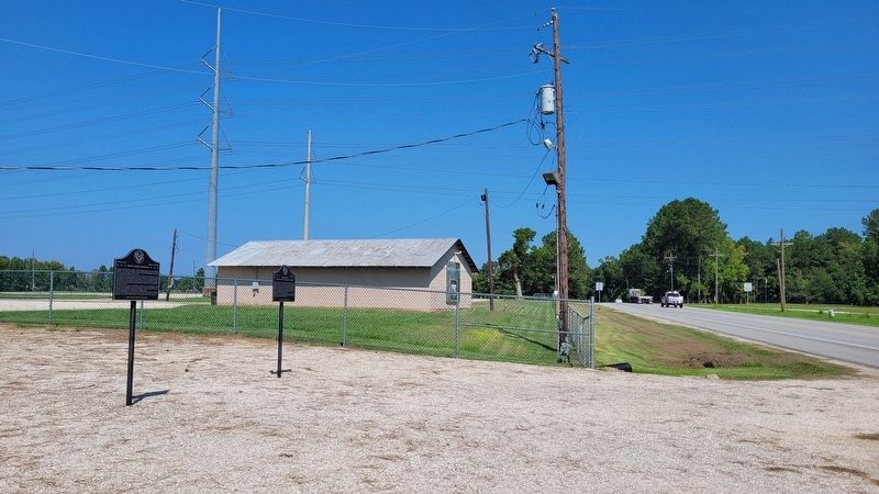
Location. 30° 2.742′ N, 94° 46.628′ W. Marker is in Liberty, Texas, in Liberty County. Marker is on Wallisville Road (Farm to Market Road 563) one mile south of Santa Anna Avenue (U.S. 90), on the right when traveling south. The marker is located at the east side gate to the Trinity Valley Exposition grounds. Touch for map. Marker is at or near this postal address: 321 Wallisville Road, Liberty TX 77575, United States of America. Touch for directions.
Other nearby markers. At least 8 other markers are within 2 miles of this marker, measured as the crow flies. Camp Liberty (here, next to this marker); Mexican Hill (approx. 1.2 miles away); Liberty County (approx. 1.2 miles away); The Ruth Canfield Park (approx. 1.4 miles away); Plaza de Mercado (approx. 1.4 miles away); Liberty Masonic Lodge No. 48, A.F. & A.M. (approx. 1.4 miles away); Edward Thomas Branch
(approx. 1.4 miles away); Sam Houston in Liberty County (approx. 1.4 miles away). Touch for a list and map of all markers in Liberty.
Also see . . . Liberty, TX (Liberty County). Texas State Historical Association
During World War II, a camp for German prisoners of war operated at the Liberty fairgrounds. The county fair, first held in 1909, moved to its Wallisville Road grounds in 1930 and with the support of Chambers County became the Trinity Valley Exposition in 1939. Highway 146, which provides a route from East Texas to Baytown and the Texas City-Galveston area, was completed in 1950. In that year a veneer mill, a cannery, a commercial printing plant, and an ice plant contributed to the economy, and a local farmer grew orchids. The population rose to 4,161 in 1950, 5,591 in 1970, and 7,733 in 1990, when the town had 213 businesses. By 2000 there were 8,033 residents and 526 businesses. In the 1960s the Central International Corporation air-milled ingredients for insecticides, and in the 1970s the offices of seventy oil firms were located in the city. The Sam Houston Regional Library and Research Center opened in 1977, and the Geraldine D. Humphreys Cultural Center was open from 1969 to 1984. The nearby home of Governor M. Price Daniel, Sr., built in 1984, is based on the original plans for the Governor's Mansion in Austin.(Submitted on September 23, 2022, by James Hulse of Medina, Texas.)
Credits. This page was last revised on September 23, 2022. It was originally submitted on September 22, 2022, by James Hulse of Medina, Texas. This page has been viewed 510 times since then and 36 times this year. Photos: 1, 2, 3. submitted on September 23, 2022, by James Hulse of Medina, Texas.


