
Albion in Orleans County, New York — The American Northeast (Mid-Atlantic)
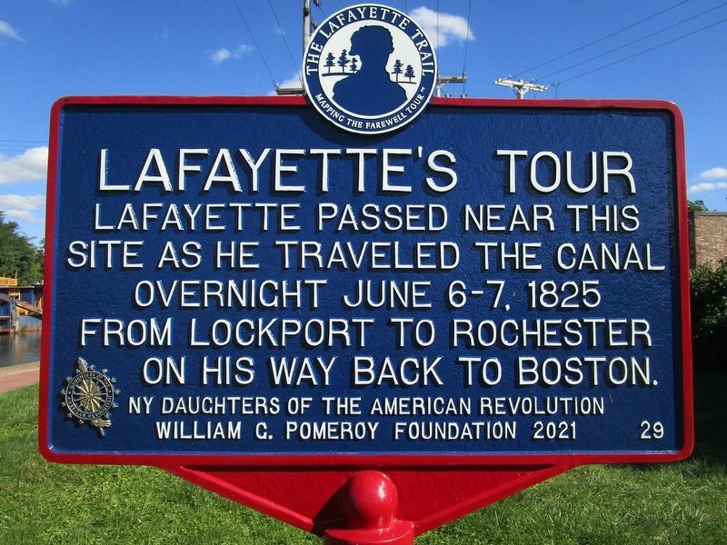
Lafayette's Tour
Mapping the Farewell Tour
| — | The Lafayette Trail | — |
Photographed by Anton Schwarzmueller, September 24, 2022
1. Lafayette's Tour Marker
Erected 2021 by The Lafayette Trail, Inc.; Daughters of the American Revolution; William G. Pomeroy Foundation. (Marker Number 29.)
Topics and series. This historical marker is listed in these topic lists: Patriots & Patriotism • War, US Revolutionary. In addition, it is included in the Daughters of the American Revolution, the Erie Canal, the Lafayette’s Farewell Tour, and the William G. Pomeroy Foundation series lists. A significant historical date for this entry is June 6, 1825.
Location. 43° 14.913′ N, 78° 11.494′ W. Marker is in Albion, New York, in Orleans County. It is on North Platt Street 0.1 miles north of East Bank Street, on the right when traveling north. Touch for map. Marker is in this post office area: Albion NY 14411, United States of America. Touch for directions.

Regionally, this marker is in Upstate New York, specifically in Western New York, in the Finger Lakes, and in the Rochester Metropolitan Area. It is also in the American Northeast, on the Great Lakes,
this page online
Other nearby markers. At least 8 other markers are within walking distance of this marker: Erie Canal Spurs Albion's Growth and Prosperity (a few steps from this marker); Erie Canal 1825 (about 500 feet away, measured in a direct line); Charles W. Howard (about 500 feet away); Historic Downtown Albion (about 500 feet away); Calamity Sept. 28, 1859 (about 600 feet away); Home of Sanford E. Church (about 800 feet away); First United Methodist Church (approx. 0.2 miles away); Hitching Posts (approx. 0.2 miles away). Touch for a list and map of all markers in Albion.
Photographed by Anton Schwarzmueller, September 24, 2022
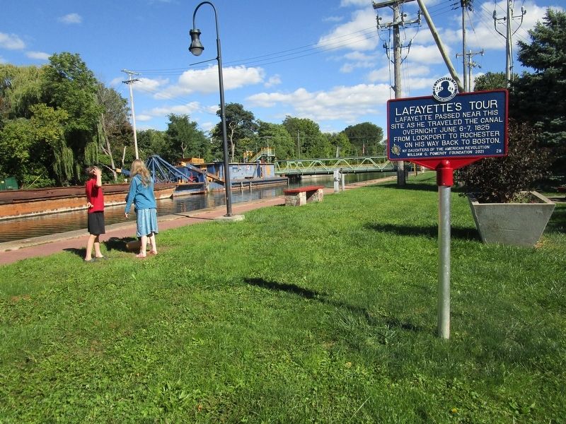
2. Lafayette's Tour Marker
By the Erie Barge Canal. The lift bridge is Ingersoll Street.
Photographed by Anton Schwarzmueller, September 24, 2022
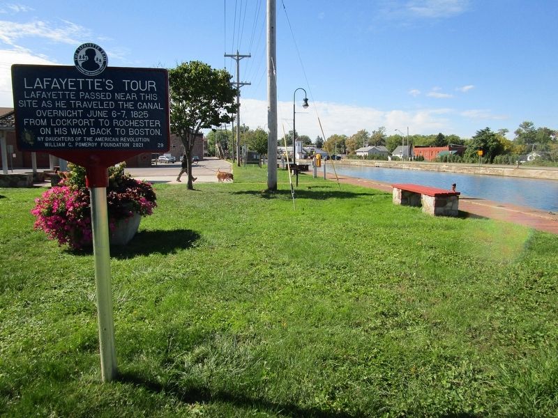
3. Lafayette's Tour Marker
View is westward, toward the North Main Street lift bridge (NY Route 98).
Credits. This page was last revised on August 27, 2024. It was originally submitted on September 24, 2022, by Anton Schwarzmueller of Wilson, New York. This page has been viewed 481 times since then and 21 times this year. Photos: 1, 2, 3. submitted on September 24, 2022, by Anton Schwarzmueller of Wilson, New York.
