Belvidere in Thayer County, Nebraska — The American Midwest (Upper Plains)
The Forty-Niner Trail
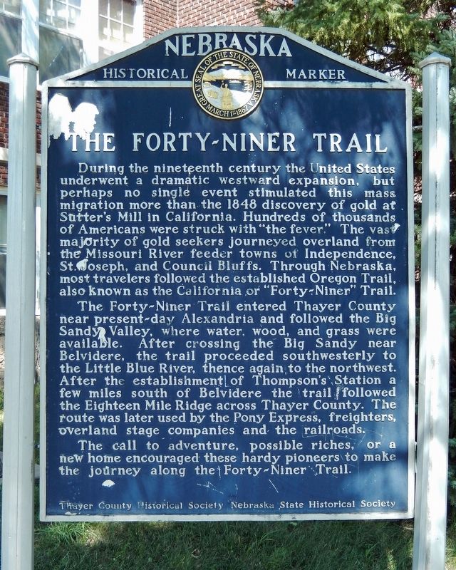
During the nineteenth century the United States underwent a dramatic westward expansion, but perhaps no single event stimulated this mass migration more than the 1848 discovery of gold at Sutter’s Mill in California. Hundreds of thousands of Americans were struck with “the fever.” The vast majority of gold seekers journeyed overland from the Missouri River feeder towns of Independence, St. Joseph, and Council bluffs. Through Nebraska, most travelers followed the established Oregon Trail, also known as the California or “Forty-Niner” Trail.
The Forty-Niner Trail entered Thayer County near present-day Alexandria and followed the Big Sandy Valley, where water, wood, and grass were available. After crossing the Big Sandy near Belvidere, the trail proceeded southwesterly to the Little Blue River, thence again to the northwest. After the establishment of Thompson’s Station a few miles south of Belvidere the trail followed the Eighteen Mile Ridge across Thayer County. The route was later used by the Pony Express, freighters, overland stage companies and the railroads.
The call to adventure, possible riches, or a new home encouraged these hardy pioneers to make the journey along the Forty-Niner Trail.
Erected by Thayer County Historical Society; and Nebraska State Historical Society . (Marker Number 235.)
Topics and series. This historical marker is listed in these topic lists: Railroads & Streetcars • Roads & Vehicles • Settlements & Settlers. In addition, it is included in the California Trail, the Nebraska State Historical Society, the Oregon Trail, and the Pony Express National Historic Trail series lists. A significant historical year for this entry is 1848.
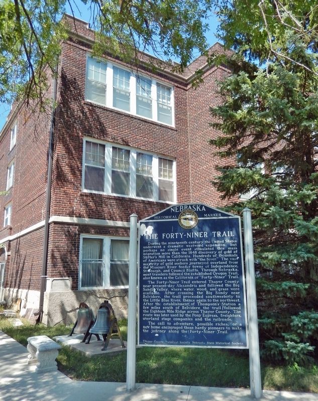
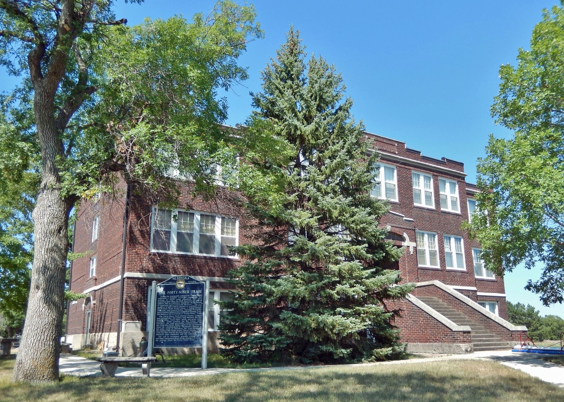
Location. 40° 15.316′ N, 97° 33.508′ W. Marker is in Belvidere, Nebraska, in Thayer County. Marker is on 9th Street just west of C Street, on the right when traveling west. Marker is located near the southeast corner of the old District 34 School building, just north across 9th Street from the Thayer County Museum. Touch for map. Marker is at or near this postal address: 110 9th Street, Belvidere NE 68315, United States of America. Touch for directions.
Other nearby markers. At least 8 other markers are within 8 miles of this marker, measured as the crow flies. Oregon Trail (approx. 3.6 miles away); Thayer County (approx. 6.2 miles away); Veterans Memorial (approx. 6.2 miles away); A Tribute To Hebron, Its People and Its Schools (approx. 6.4 miles away); World's Largest Porch Swing (approx. 6.4 miles away); The Hebron CCC And POW Camps (approx. 6.4 miles away); Bruning Army Air Field (approx. 7.4 miles away); Bruning Air Field Pilots Killed near Naper, Nebraska (approx. 7.4 miles away).
Also see . . . California Trail.
One of the main enduring legacies of the Oregon and California Trails is the expansion of the United States territory to the West Coast. Without the many thousands of United States settlers in Oregon and California with their "boots on the ground" and more thousands on their way each year, it is highly unlikely that this would have occurred.(Submitted on September 24, 2022, by Cosmos Mariner of Cape Canaveral, Florida.)
Credits. This page was last revised on September 24, 2022. It was originally submitted on September 24, 2022, by Cosmos Mariner of Cape Canaveral, Florida. This page has been viewed 173 times since then and 35 times this year. Photos: 1, 2, 3. submitted on September 24, 2022, by Cosmos Mariner of Cape Canaveral, Florida.


