Near Marbury in Autauga County, Alabama — The American South (East South Central)
Site of "John E. Moore," "Camp Hardee," "Cottage Number 8" and "Cripple Creek Hotel" Cottages
1903-1939
Inscription.
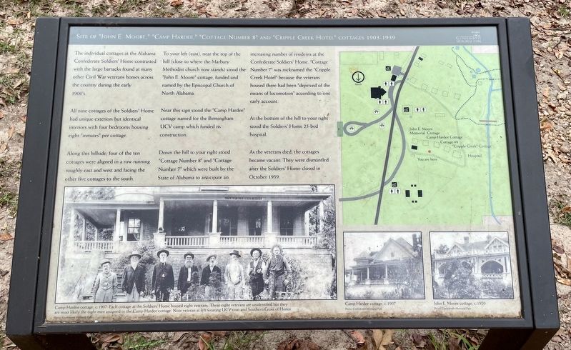
The individual cottages at the Alabama
Confederate Soldiers' Home contrasted
with the large barracks found at many
other Civil War veterans homes across
the country during the early 1900's.
All nine cottages of the Soldiers' Home had unique exteriors but identical interiors with four bedrooms housing eight "inmates" per cottage.
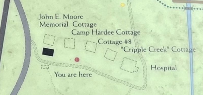
Along this hillside, four of the ten cottages were aligned in a row running roughly east and west and facing the other five cottages to the south.
To your left (east), near the top of the hill (close to where the Marbury Methodist church now stands) stood the "John E. Moore" cottage, funded and named by the Episcopal Church of North Alabama.
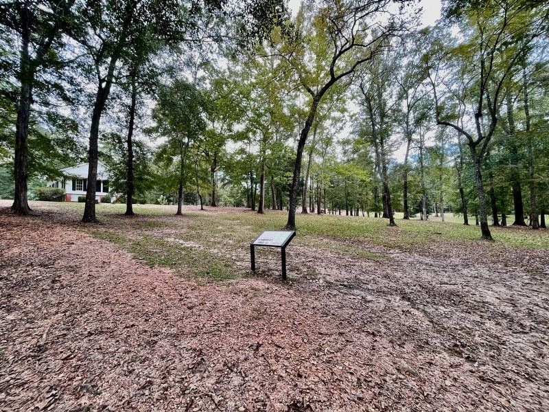
Near this sign stood the "Camp Hardee" cottage named for the Birmingham UCV camp which funded its construction.
Down the hill to your right stood "Cottage Number 8" and "Cottage Number 7" which were built by the State of Alabama to anticipate an increasing number of residents at the Confederate Soldiers' Home. "Cottage Number 7" was nicknamed the "Cripple Creek Hotel" because the veterans housed there had been "deprived of the means of locomotion" according to 'one early account.
At the bottom of the hill to your right stood the Soldiers' Home 25-bed hospital.
As the veterans died, the cottages became vacant. They were dismantled after the Soldiers' Home closed in October 1939.
Photo captions:
Bottom left: Camp Hardee cottage, c. 1907. Each cottage at the Soldiers' Home housed eight veterans. These eight veterans are unidentified but they are most likely the eight men assigned to the Camp Hardee cottage. Note veteran at left wearing UCV coat and Southern Cross of Honor.
Middle: Camp Hardee cottage, c.1907
Right: John E. Moore cottage, c. 1920
All Photos: Confederate Memorial Park
Erected by Confederate Memorial Park.
Topics. This historical marker is listed in this topic list: Notable Buildings. A significant historical month for this entry is October 1939.
Location. 32° 43.298′ N, 86° 28.461′ W. Marker is near Marbury, Alabama, in Autauga County. Marker can be reached from County Road 63, 0.2 miles south of County Road 530, on the right when traveling south. Located within Confederate Memorial Park. Touch for map. Marker is at or near this postal address: 437 Co Rd 63, Marbury AL 36051, United States of America. Touch for directions.
Other nearby markers. At least 8 other markers are within walking distance of this marker. Woven Wire Fence (within shouting distance of this marker); Marbury Methodist Church (within shouting distance of this marker); The Hospital (about 300 feet away, measured in a direct line); Mess Hall c. 1920-1929
(about 500 feet away); Memorial Hall Flagpole (about 500 feet away); Monument to Jefferson Manly Falkner (about 500 feet away); Water Tank (about 500 feet away); Memorial Hall (about 500 feet away). Touch for a list and map of all markers in Marbury.
Credits. This page was last revised on September 27, 2022. It was originally submitted on September 25, 2022, by Mark Hilton of Montgomery, Alabama. This page has been viewed 395 times since then and 70 times this year. Photos: 1, 2, 3. submitted on September 25, 2022, by Mark Hilton of Montgomery, Alabama.


