Willis in Floyd County, Virginia — The American South (Mid-Atlantic)
Carroll County
⎯⎯⎯
Floyd County
Photographed by Tim Fillmon, August 16, 2022
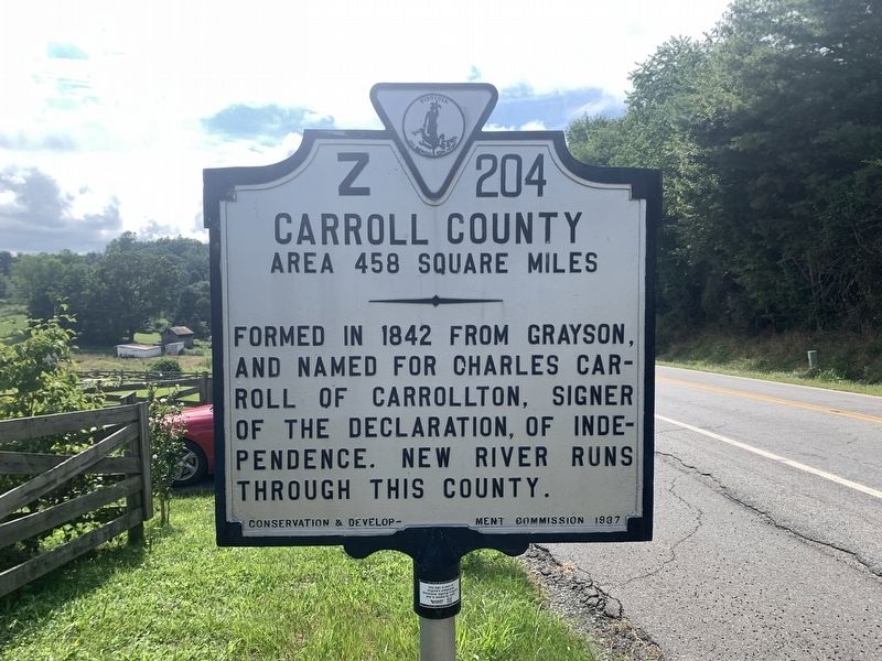
1. Carroll County Side of Marker
CARROLL COUNTY
Area 458 Square Miles
Formed in 1842 from Grayson, and named for Charles Carroll of Carrollton, signer of the Declaration of Independence. New River runs through this county.
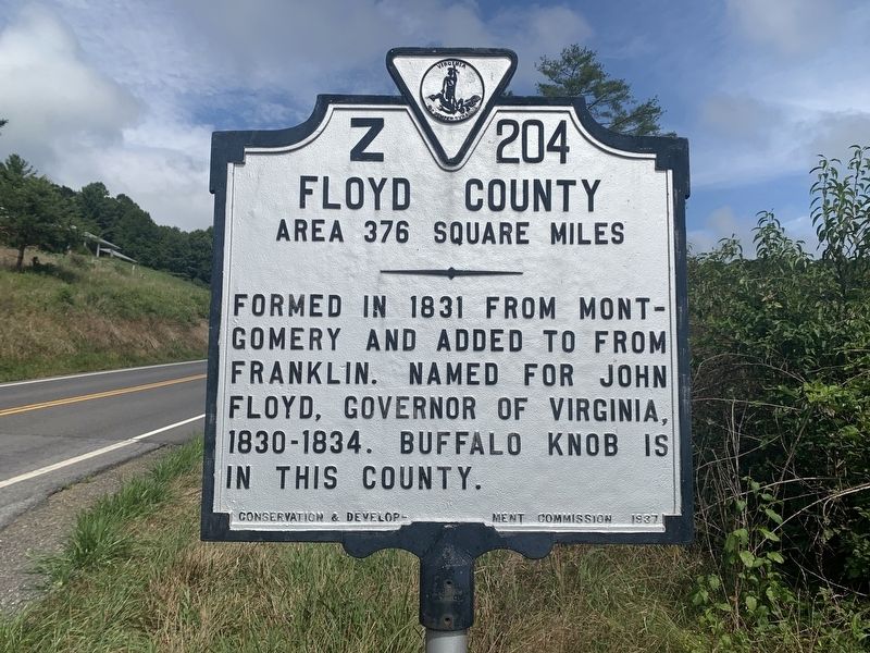
FLOYD COUNTY
Area 376 Square Miles
Formed in 1831 from Montgomery, and added to from Franklin. Named for John Floyd, Governor of Virginia 1830-34. Buffalo Knob is in this county.
Erected 1937 by Conservation & Development Commission. (Marker Number Z-204.)
Topics. This historical marker is listed in this topic list: Political Subdivisions. A significant historical year for this entry is 1831.
Location. 36° 50.593′ N, 80° 34.064′ W. Marker is in Willis, Virginia, in Floyd County. It is on U.S. 221 0.1 miles east of Borderline Road, on the right when traveling east. Touch for map. Marker is in this post office area: Willis VA 24380, United States of America. Touch for directions.

Regionally, this marker is in Southwest Virginia and in the Blue Ridge Highlands. It is also in the American South, specifically in the Upper South, in Appalachia, and specifically in Southern Appalachia. Globally, it is in North America, the
this page online
Other nearby markers. At least 8 other markers are within 11 miles of this marker, measured as the crow flies: Caroll County / Floyd County (a few steps from this marker); Buffalo Mountain Presbyterian Church Cemetery (approx. 5.3 miles away); Buffalo Mountain Presbyterian Church (approx. 5.3 miles away); Point Pleasant School (approx. 8 miles away); John Carroll (approx. 9.8 miles away); a different marker also named Carroll County / Floyd County (approx. 9.9 miles away); Floyd County / Patrick County (approx. 9.9 miles away); Carroll County (approx. 10.4 miles away). Touch for a list and map of all markers in Willis.
Photographed by Tim Fillmon, August 16, 2022
2. Floyd County Side of Marker
Photographed by Tim Fillmon, August 16, 2022
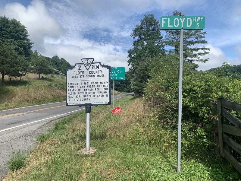
3. Carroll County / Floyd County Marker
Credits. This page was last revised on September 25, 2022. It was originally submitted on September 25, 2022, by Tim Fillmon of Webster, Florida. This page has been viewed 412 times since then and 36 times this year. Photos: 1, 2, 3. submitted on September 25, 2022, by Tim Fillmon of Webster, Florida.
