
Near Columbia in Brown County, South Dakota — The American Midwest (Upper Plains)
Daly Corners
September 17, 2022
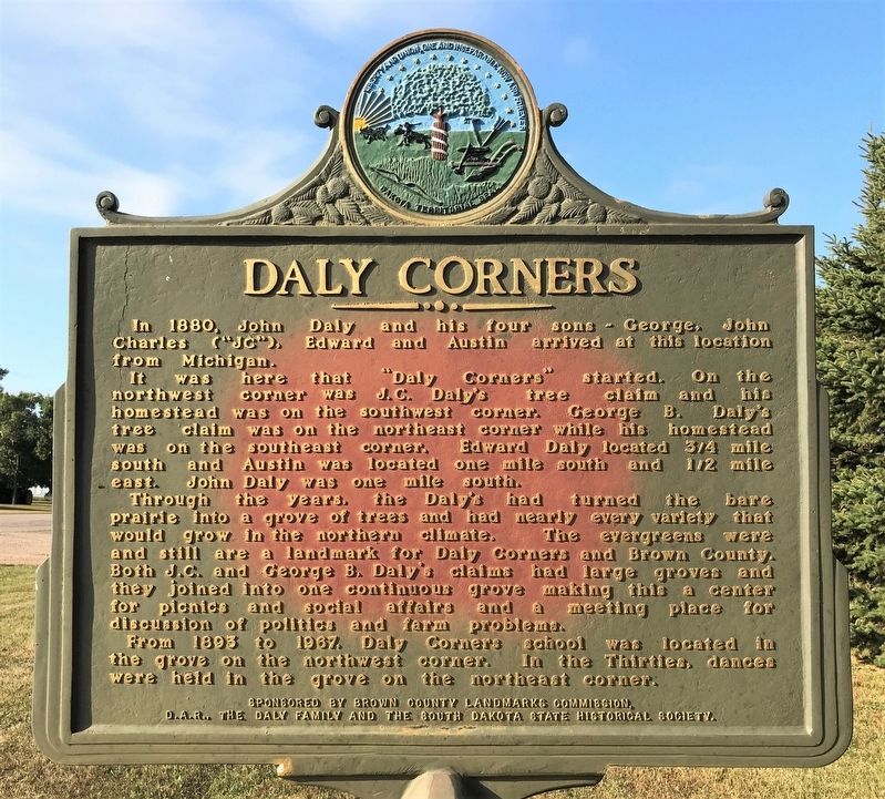
1. Daly Corners Marker
It was here that "Daly Corners" started. On the northwest corner was J.C. Daly's tree claim and his homestead was on the southwest corner. George B. Daly's tree claim was on the northeast corner while his homestead was on the southeast corner. Edward Daly located 3/4 mile south and Austin was located one mile south and 1/2 mile east. John Daly was one mile south.
Through the years, the Daly's had turned the bare prairie into a grove of trees and had nearly every variety that would grow in the northern climate. The evergreens were and still are a landmark for Daly Corners and Brown County. Both J.C. and George B. Daly's claims had large groves and they joined into one continuous grove making this a center for picnics and social affairs and a meeting place for discussion of politics and farm problems.
From 1893 to 1967, Daly Corners school was located in the grove on the northwest corner. In the Thirties, dances were held in the grove on the northeast corner.
Erected 1999 by Brown County
this page online
Topics and series. This historical marker is listed in this topic list: Notable Places. In addition, it is included in the Daughters of the American Revolution (DAR), and the South Dakota State Historical Society Markers series lists. A significant historical year for this entry is 1880.
Location. 45° 38.792′ N, 98° 12.427′ W. Marker is near Columbia, South Dakota, in Brown County. It is at the intersection of 401st Avenue (County Road 18) and 120th Street (County Road 9), on the right when traveling north on 401st Avenue. Touch for map. Marker is in this post office area: Columbia SD 57433, United States of America. Touch for directions.

Regionally, this marker is in East River and specifically in the James River Valley. It is also in the American Midwest, in the Lewis & Clark Corridor, in the Corn Belt, on the prairies, and on the Northern Plains. Globally, it is in North America, the Western Hemisphere, the Western World, and the Anglosphere. Historically, it finds itself in what was once Rupert’s Land
September 17, 2022
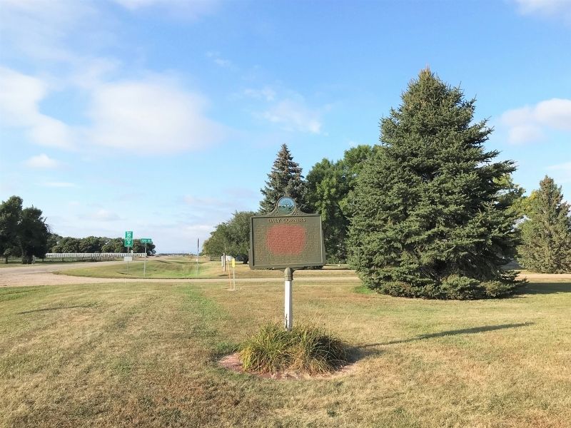
2. Daly Corners Marker, from the south
Other nearby markers. At least 8 other markers are within 8 miles of this marker, measured as the crow flies: Columbia Marsh (approx. 5.1 miles away); Columbia (approx. 5.8 miles away); Father Alexandra Ravoux (approx. 6.7 miles away); The View from the Top (approx. 7.1 miles away); Sand Lake's Observation Tower (approx. 7.1 miles away); Waterfowl (approx. 7.3 miles away); Sand Lake National Wildlife Refuge (approx. 7.3 miles away); Songbirds (approx. 7.3 miles away). Touch for a list and map of all markers in Columbia.
September 17, 2022
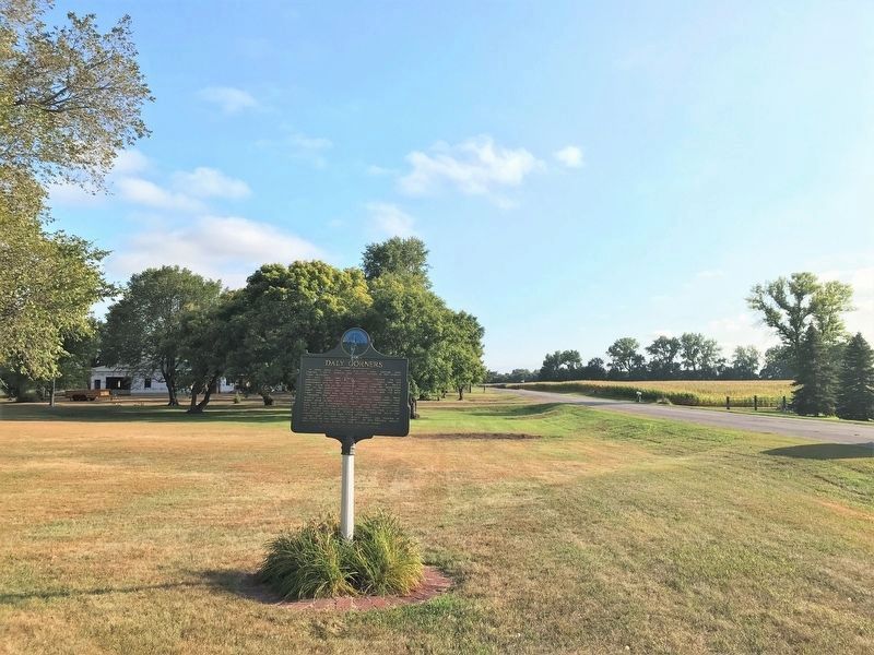
3. Daly Corners Marker, from the north
Credits. This page was last revised on September 26, 2022. It was originally submitted on September 26, 2022. This page has been viewed 550 times since then and 63 times this year. Photos: 1, 2, 3. submitted on September 26, 2022.
