Liberty in Liberty County, Texas — The American South (West South Central)
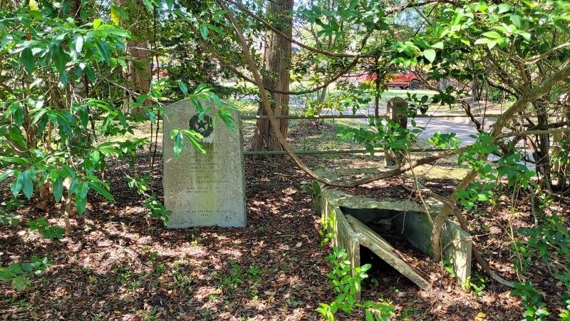
Pryor Bryan
Army of Texas
1835 - 1836
Born in Louisiana
March 11, 1810
Died April 19, 1873
His Wife
Mary A. Merriman Bryan
Born August 6, 1817
Died January 13, 1861
Erected 1936 by State of Texas. (Marker Number 9641.)
Topics and series. This historical marker is listed in these topic lists: Cemeteries & Burial Sites • War, Texas Independence. In addition, it is included in the Texas 1936 Centennial Markers and Monuments series list. A significant historical date for this entry is January 13, 1861.
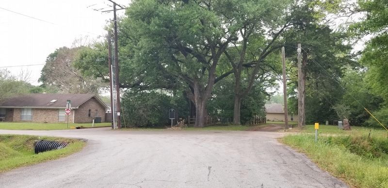
Location. 30° 4.271′ N, 94° 48.175′ W. Marker is in Liberty, Texas, in Liberty County. Marker can be reached from the intersection of Bowie Street and Edgewood Street, on the left when traveling north. The marker is located in the middle of the small cemetery within the fenced in area. Touch for map. Marker is at or near this postal address: 1300 Edgewood Street, Liberty TX 77575, United States of America. Touch for directions.
Other nearby markers. At least 8 other markers are within walking distance of this marker. Luke Bryan (a few steps from this marker); Bryan Neyland Cemetery (a few steps from this marker); Yettie Kersting (approx. 0.3 miles away); City Cemetery (approx. half a mile away); Cornelius de Vore (approx. half a mile away); Franklin Hardin (approx. half a mile away); Milton Ashley Hardin (approx. half a mile away); Catholic Cemetery (approx. 0.6 miles away). Touch for a list and map of all markers in Liberty.
More about this marker. The cemetery is very small with a subdivision road running through the middle of it.
Additional commentary.
1. State of Texas 1936 Historical Marker
This marker is a part of the State of Texas Historical markers for the War of Texas Independence. It also has information about the marker from the Atlas of Texas Historical sites including a Texas State marker number.
— Submitted September 27, 2022, by James Hulse of Medina, Texas.
Credits. This page was last revised on September 27, 2022. It was originally submitted on September 27, 2022, by James Hulse of Medina, Texas. This page has been viewed 90 times since then and 14 times this year. Photos: 1, 2, 3, 4. submitted on September 27, 2022, by James Hulse of Medina, Texas.


