Sioux Falls in Minnehaha County, South Dakota — The American Midwest (Upper Plains)
Minnehaha Country Club
September 23, 2022
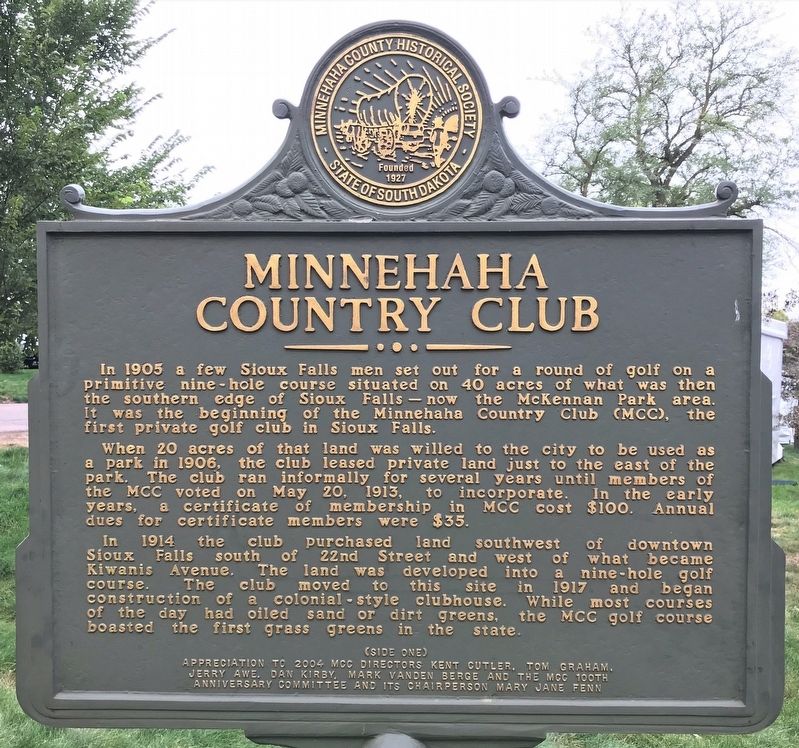
1. Minnehaha Country Club Marker (Side one)
When 20 acres of that land was willed to the city to be used as a park in 1906, the club leased private land just to the east of the park. The club ran informally for several years until members of the MCC voted on May 20, 1913, to incorporate. In the early years, a certificate of membership in MCC cost $100. Annual dues for certificate members were $35.
In 1914 the club purchased land southwest of downtown Sioux Falls south of 22nd Street and west of what became Kiwanis Avenue. The land was developed into a nine-hole golf course. The club moved to this site in 1917 and began construction of a colonial-style clubhouse. While most courses of the day had oiled sand or dirt greens, the MCC golf course boasted the first grass greens in the state.
The
this page online
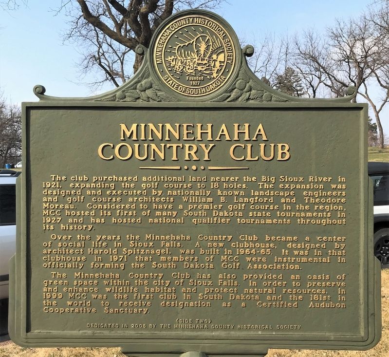
Over the years the Minnehaha Country Club became a center of social life in Sioux Falls. A new clubhouse, designed by architect Harold Spitznagel, was built in 1964-65. It was in that clubhouse in 1971 that members of MCC were instrumental in officially forming the South Dakota Golf Association.
The Minnehaha Country Club has also provided an oasis of green space within the city of Sioux Falls. In order to preserve and enhance wildlife habitat and protect natural resources, in 1999 MCC was the first club in South Dakota and the 181st in the world to receive designation as a Certified Audubon Cooperative Sanctuary.
Erected 2005 by the Minnehaha County Historical Society.
Topics.
April 22, 2022
2. Minnehaha Country Club Marker (Side two)
Location. 43° 31.976′ N, 96° 45.883′ W. Marker is in Sioux Falls, South Dakota, in Minnehaha County. It is on West 22nd Street 0.2 miles west of South Kiwanis Avenue, on the right when traveling east. Located just west of the Minnehaha Country Club parking lot entrance. Touch for map. Marker is at or near this postal address: 3101 W 22nd St, Sioux Falls SD 57105, United States of America. Touch for directions.

Regionally, this marker is in East River. It is also in the American Midwest, in the Lewis & Clark Corridor, in the Corn Belt, on the prairies, and on the Northern Plains. Globally, it is in North America, the Western Hemisphere, the Western World, and the Anglosphere. Historically, it finds itself in what was once Rupert’s Land and also the Louisiana Purchase.
Other nearby markers. At least 8 other markers are within walking distance of this marker: The Big Slide (about 400 feet away, measured in a direct line); Mound Builders Village (about 500 feet away); The Fifth Mound (approx. 0.2 miles away); Linear Mound
September 23, 2022
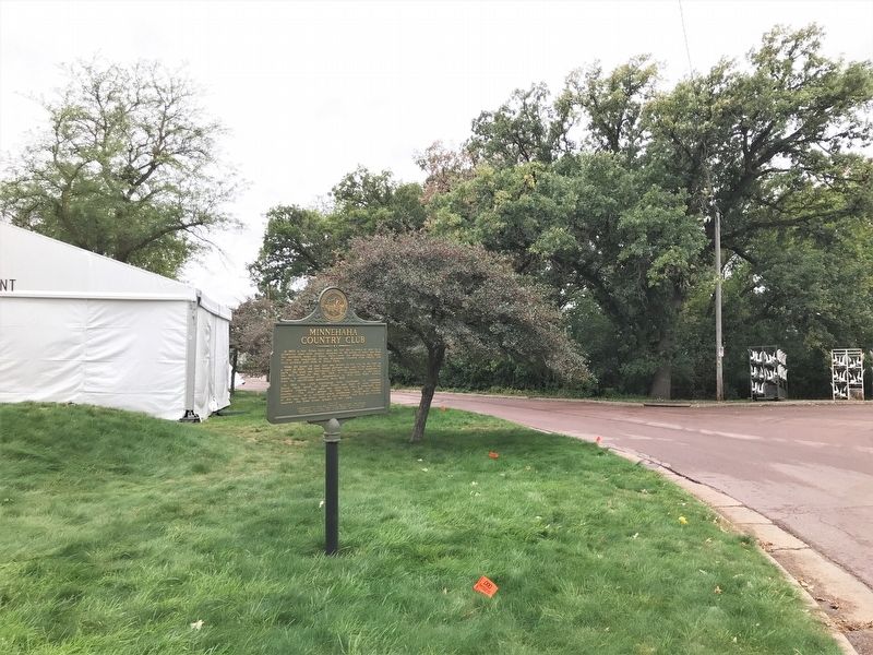
3. Minnehaha Country Club Marker, from the east
September 23, 2022
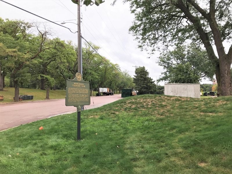
4. Minnehaha Country Club Marker, from the west
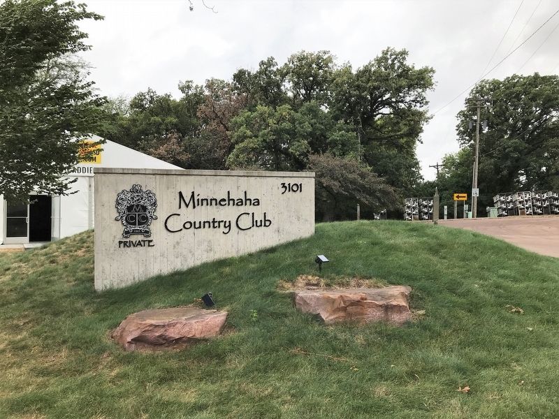
September 23, 2022
5. Minnehaha Country Club Sign
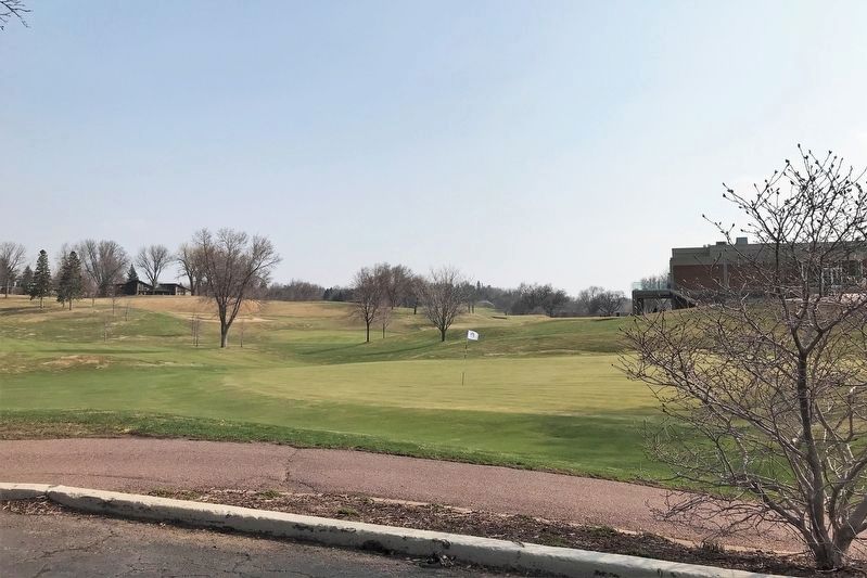
April 22, 2022
6. Minnehaha Country Club Putting Green
Credits. This page was last revised on September 27, 2022. It was originally submitted on September 27, 2022. This page has been viewed 787 times since then and 108 times this year. Photos: 1, 2, 3, 4, 5, 6. submitted on September 27, 2022.
