Near Sayers in Bexar County, Texas — The American South (West South Central)
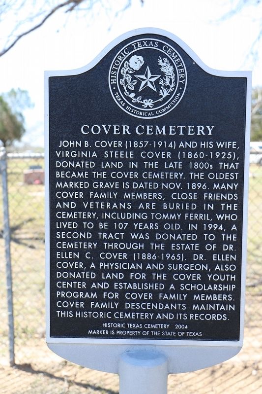
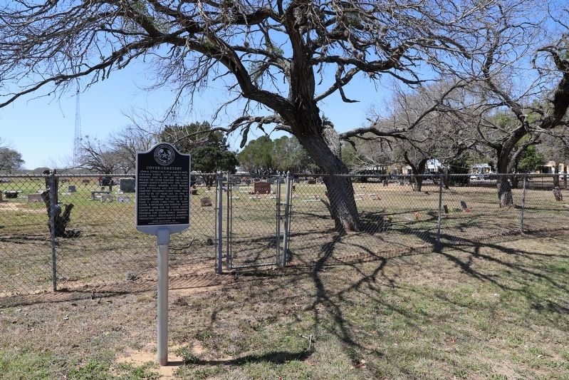
Cover Cemetery
John B. Cover (1857-1914) and his wife, Virginia Steele Cover (1860-1925), donated land in the late 1800s that became the Cover Cemetery. The oldest marked grave is dated Nov. 1896. Many cover family members, close friends and veterans are buried in the cemetery, including Tommy Ferril, who lived to be 107 years old. In 1994, a second tract was donated to the cemetery through the Estate of Dr. Ellen C. Cover (1886-1965). Dr. Ellen Cover, a physician and surgeon, also donated land for the Cover Youth Center and established a scholarship program for Cover family members. Cover family descendants maintain this historic cemetery and its records.
Erected 2012 by Texas Historical Commission. (Marker Number 17271.)
Topics. This historical marker is listed in these topic lists: Cemeteries & Burial Sites • Settlements & Settlers. A significant historical year for this entry is 1896.
Location. 29° 20.899′ N, 98° 17.74′ W. Marker is near Sayers, Texas, in Bexar County. Marker is on New Sulphur Springs Road, on the right when traveling south. Touch for map. Marker is at or near this postal address: 9931 New Sulphur Springs Rd, San Antonio TX 78263, United States of America. Touch for directions.
Other nearby markers. At least 8 other markers are within 9 miles of this marker, measured as the crow flies. Boldtville Schoolhouse (approx. 4 miles away); Kicaster Community (approx. 5.9 miles away); Saint Hedwig (approx. 6.9 miles away); Annunciation of the Blessed Virgin Mary Roman Catholic Cemetery (approx. 7.1 miles away); Beall Cemetery (approx. 7.9 miles away); Our Lady of Perpetual Help Catholic Church (approx. 8 miles away); Site of the Camp of Stephen F. Austin (approx. 8˝ miles away); Edward H. White II Memorial Hangar, Brooks Air Force Base (approx. 8.9 miles away).
Credits. This page was last revised on February 2, 2023. It was originally submitted on September 27, 2022, by Dave W of Co, Colorado. This page has been viewed 172 times since then and 37 times this year. Photos: 1, 2. submitted on September 27, 2022, by Dave W of Co, Colorado. • J. Makali Bruton was the editor who published this page.

