Clarksville in Clark County, Indiana — The American Midwest (Great Lakes)
Eastern Boundary
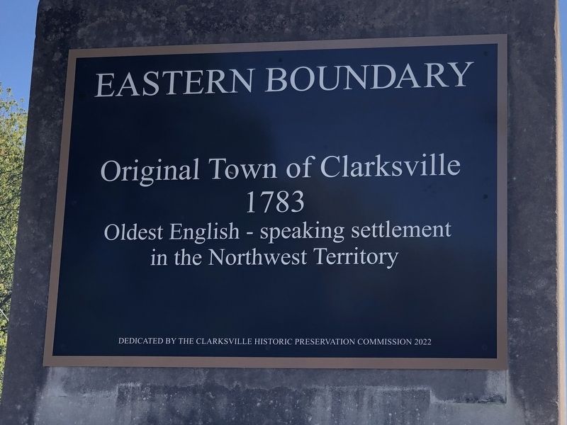
Photographed by Duane and Tracy Marsteller, September 24, 2022
1. Eastern Boundary Marker
1783
Oldest English-speaking settlement
in the Northwest Territory
Erected 2022 by Clarksville Historic Preservation Commission.
Topics. This historical marker is listed in this topic list: Settlements & Settlers. A significant historical year for this entry is 1783.
Location. 38° 17.265′ N, 85° 46.499′ W. Marker is in Clarksville, Indiana, in Clark County. It is on Harrison Avenue west of Lynda Avenue, on the left when traveling west. Touch for map. Marker is at or near this postal address: 1019 Harrison Ave, Clarksville IN 47129, United States of America. Touch for directions.

Regionally, this marker is in Southern Indiana. It is also in the American Midwest, in the Ohio River Valley, and in the Corn Belt. Globally, it is in North America, the Western Hemisphere, the Western World, and the Anglosphere. Historically, it finds itself in what was once the territory of the Mississippian Culture and also the Northwest Territory.
Other nearby markers. At least 8 other markers are within walking distance of this marker: George Rogers Clark (about 400 feet away, measured in
this page online
Another marker is no longer nearby. River Navigation (was approx. one mile away but has been confirmed missing).
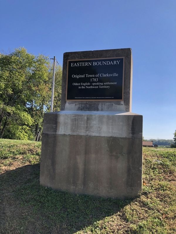
Photographed by Duane and Tracy Marsteller, September 24, 2022
2. Eastern Boundary Marker
Credits. This page was last revised on September 30, 2022. It was originally submitted on September 30, 2022, by Duane and Tracy Marsteller of Murfreesboro, Tennessee. This page has been viewed 239 times since then and 20 times this year. Photos: 1, 2. submitted on September 30, 2022, by Duane and Tracy Marsteller of Murfreesboro, Tennessee.
