Bethesda in Montgomery County, Maryland — The American Northeast (Mid-Atlantic)
Tree Planting Ceremony
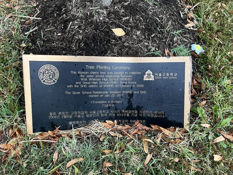
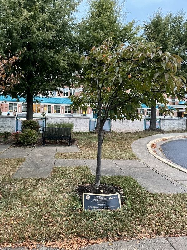
This Korean cherry tree was planted to celebrate the sister school relationship between Walt Whitman High School (WWHS) and Seoul High School (SHS), Seoul Korea with the SHS visitors at WWHS on February 9, 2009.
The Sister School Relationship between WWHS and SHS started on July 25, 2007.
Erected by Whitman High School; Seoul High School.
Topics. This historical marker is listed in these topic lists: Education • Peace. A significant historical date for this entry is February 9, 2009.
Location. 38° 58.866′ N, 77° 7.661′ W. Marker is in Bethesda, Maryland, in Montgomery County. It can be reached from Whittier Boulevard north of Braeburn Parkway, on the right when traveling south. Touch for map. Marker is at or near this postal address: 7100 Whittier Blvd, Bethesda MD 20817, United States of America. Touch for directions.

Regionally, this marker is in the Washington Metropolitan Area. It is also in the American Mid-Atlantic. Globally, it is in North America, the Western Hemisphere, the Western World, and the Anglosphere. Historically, it finds itself in what was once one of the original Thirteen Colonies and also
this page online
Other nearby markers. At least 8 other markers are within 2 miles of this marker, measured as the crow flies: “Home of the Dome” (within shouting distance of this marker); The Class of 1970 Honors Its Distinctive ‘Dome•icile’ (within shouting distance of this marker); Wood Acres' Grady Putnam Field (approx. one mile away); The Clara Barton House (approx. one mile away); Moreland (approx. one mile away); Glen Echo Park: Spanish Ballroom (approx. 1.1 miles away); Glen Echo Park: Aerial View c. 1954 (approx. 1.1 miles away); Glen Echo Park: Chautauqua c. 1891 (approx. 1.1 miles away). Touch for a list and map of all markers in Bethesda.
Another marker is no longer nearby. Glen Echo Park c. 1930 (was approx. 1.1 miles away but has been permanently removed).
Credits. This page was last revised on September 30, 2022. It was originally submitted on September 30, 2022, by Devry Becker Jones of Washington, District of Columbia. This page has been viewed 275 times since then and 15 times this year. Photos: 1, 2. submitted on September 30, 2022, by Devry Becker Jones of Washington, District of Columbia.
