Clarksville in Clark County, Indiana — The American Midwest (Great Lakes)
Lewis & Clark Expedition
1803-1806
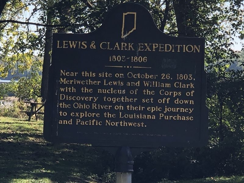
Photographed by Duane and Tracy Marsteller, September 24, 2022
1. Lewis & Clark Expedition Marker
Erected 1991 by Lewis & Clark Trail Heritage Foundation, Inc. (Marker Number 10.1991.1.)
Topics and series. This historical marker is listed in this topic list: Exploration. In addition, it is included in the Indiana Historical Bureau Markers series list. A significant historical date for this entry is October 26, 1803.
Location. 38° 17.247′ N, 85° 46.608′ W. Marker is in Clarksville, Indiana, in Clark County. It can be reached from Harrison Avenue west of Bailey Avenue, on the left when traveling west. Marker is at the boat ramp in George Rogers Clark Homesite park. Touch for map. Marker is at or near this postal address: 1170 Harrison Ave, Clarksville IN 47129, United States of America. Touch for directions.

Regionally, this marker is in Southern Indiana. It is also in the American Midwest, in the Ohio River Valley, and in the Corn Belt. Globally, it is in North America, the Western Hemisphere,
this page online
Other nearby markers. At least 8 other markers are within one mile of this marker, measured as the crow flies: George Rogers Clark (within shouting distance of this marker); Eastern Boundary (about 500 feet away, measured in a direct line); Clarksville (approx. ¾ mile away); Eleanor Roosevelt (approx. 0.9 miles away); Indiana State Parks: the First 100 Years 1916-2016 (approx. one mile away); Falls of the Ohio Fossil Beds (approx. one mile away); Navigating the Falls of the Ohio (approx. one mile away); John A. Munz and Coast Guard Ohio River History (approx. one mile away). Touch for a list and map of all markers in Clarksville.
Another marker is no longer nearby. River Navigation (was approx. one mile away but has been confirmed missing).
Also see . . . The Falls of the Ohio. The exploration partnership between Army buddies Meriwether Lewis and William Clark began on the Ohio River shore. (Lewis & Clark Trail Heritage Foundation) (Submitted on September 30, 2022, by Duane and Tracy Marsteller of Murfreesboro, Tennessee.)
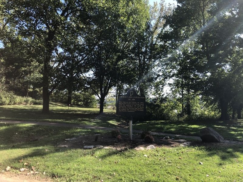
Photographed by Duane and Tracy Marsteller, September 24, 2022
2. Lewis & Clark Expedition Marker
Credits. This page was last revised on September 30, 2022. It was originally submitted on September 30, 2022, by Duane and Tracy Marsteller of Murfreesboro, Tennessee. This page has been viewed 500 times since then and 39 times this year. Photos: 1, 2. submitted on September 30, 2022, by Duane and Tracy Marsteller of Murfreesboro, Tennessee.
