Lerma de Villada in Lerma, Mexico State, Mexico — The Central Highlands (North America)
The Foundation of Lerma

Photographed by J. Makali Bruton, August 4, 2022
1. The Foundation of Lerma Marker

Patrimonio Cultural del Edo. de México, 1980.
The founder of this city was Martin Reolin de Varejón in 1613. Its name is due to Francisco de Sandoval y Rojas, Count-Duke of Lerma, who intervened before Philip III for its foundation in the place that was called Cacamilhuacan.
Cultural Heritage of the State of Mexico, 1980.
Erected by Patrimonio Cultural del Estado de México.
Topics. This historical marker is listed in this topic list: Settlements & Settlers. A significant historical year for this entry is 1613.
Location. 19° 17.161′ N, 99° 30.702′ W. Marker is in Lerma de Villada, Estado de Mexico (Mexico State), in Lerma. It is at the intersection of Calle Artesanos and Plaza Juárez, on the right when traveling west on Calle Artesanos. Touch for map. Marker is in this post office area: Lerma de Villada MEX 52000, Mexico. Touch for directions.

Regionally, this
this page online
Other nearby markers. At least 8 other markers are within 11 kilometers of this marker, measured as the crow flies: Zanbatha, the Museum of the Valle de la Luna (about 180 meters away, measured in a direct line); Former Franciscan Convent of San Juan Bautista de Metepec (approx. 10.4 kilometers away); El Paseo de la Agricultura (approx. 10.4 kilometers away); La Tlanchana (approx. 10.4 kilometers away); St. John the Baptist Church (approx. 10.5 kilometers away); Church of San Juan Bautista (approx. 10.5 kilometers away); Tree of the Bicentennial of National Independence (approx. 10.5 kilometers away); Hill of the Magueyes (approx. 10.5 kilometers away).
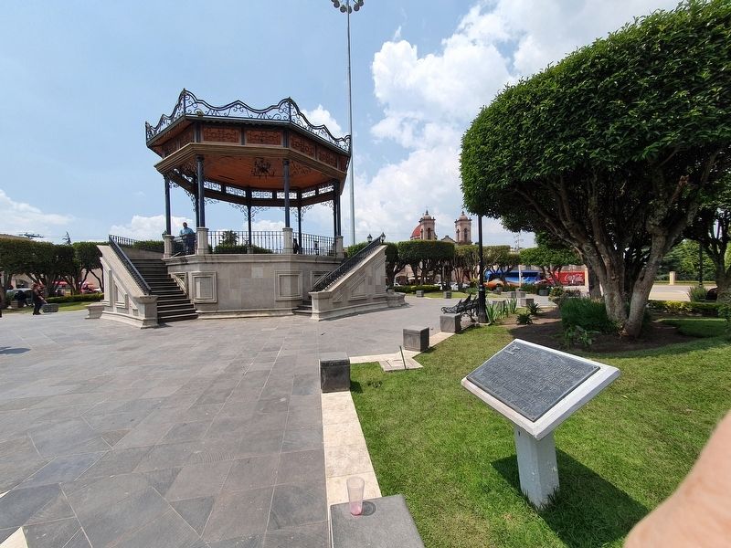
Photographed by J. Makali Bruton, August 4, 2022
2. The Foundation of Lerma Marker

Photographed by J. Makali Bruton, August 4, 2022
3. Another view of Lerma's kiosk
Credits. This page was last revised on September 30, 2022. It was originally submitted on September 30, 2022, by J. Makali Bruton of Washington, District of Columbia. This page has been viewed 232 times since then and 23 times this year. Photos: 1, 2, 3. submitted on September 30, 2022, by J. Makali Bruton of Washington, District of Columbia.
