Near Bruning in Thayer County, Nebraska — The American Midwest (Upper Plains)
Bruning Army Air Field
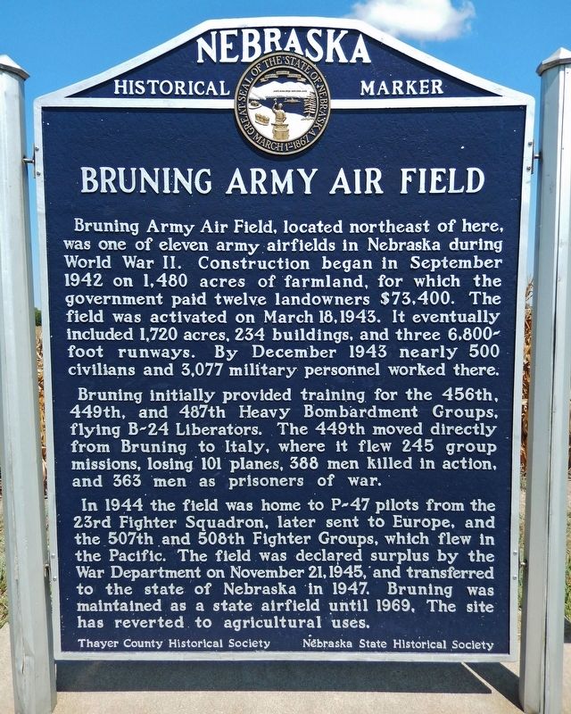
Bruning Army Air Field, located northeast of here, was one of eleven army airfields in Nebraska during World War II. Construction began in September 1942 on 1,480 acres of farmland, for which the government paid twelve landowners $73,400. The field was activated on March 18, 1943. It eventually included 1,720 acres, 234 buildings, and three 6,800-foot runways. By December 1943 nearly 500 civilians and 3,077 military personnel worked there.
Bruning initially provided training for the 456th, 449th, and 487th Heavy Bombardment Groups, flying B-24 Liberators. The 449th moved directly from Bruning to Italy, where it flew 245 group missions, losing 101 planes, 388 men killed in action, and 363 men as prisoners of war.
In 1944 the field was home to P-47 pilots from the 23rd Fighter Squadron, later sent to Europe, and the 507th and 508th Fighter Groups, which flew in the Pacific. The field was declared surplus by the War Department on November 21, 1945, and transferred to the state of Nebraska in 1947. Bruning was maintained as a state airfield until 1969. The site has reverted to agricultural uses.
Erected 1998 by Thayer County Historical Society; and Nebraska State Historical Society. (Marker Number 397.)
Topics and series. This historical marker is listed in these topic lists: Agriculture • Air & Space • Education • War, World II. In addition, it is included in the Nebraska State Historical Society series list. A significant historical date for this entry is March 18, 1943.
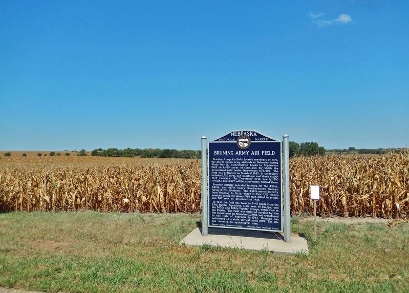
Location. 40° 19.289′ N, 97° 26.833′ W. Marker is near Bruning, Nebraska, in Thayer County. Marker is on State Highway 4, 6.8 miles east of U.S. 81, on the left when traveling east. Marker is located in a pull-out on the north side of the highway. Touch for map. Marker is in this post office area: Bruning NE 68322, United States of America. Touch for directions.
Other nearby markers. At least 8 other markers are within 13 miles of this marker, measured as the crow flies. Bruning Air Field Pilots Killed near Naper, Nebraska (here, next to this marker); First Free Flight of a Modern Hot-Air Balloon (here, next to this marker); The Ohiowa Auditorium (approx. 6.4 miles away); The Forty-Niner Trail (approx. 7.4 miles away); Sergeant Leodegar Schnyder (approx. 9.2 miles away); In Memory of the Sons of Strang (approx. 9.8 miles away); Oregon Trail (approx. 10˝ miles away); Bank Building (approx. 12.3 miles away). Touch for a list and map of all markers in Bruning.
Regarding Bruning Army Air Field.
A satellite or aerial view of the area clearly shows remnants of the old air field runways, foundations, and floors — about 2 miles northeast of this marker. The former air base has been repurposed as a livestock feed lot.
Related markers. Click here for a list of markers that are related to this marker.
Also see . . . Bruning Army Air Field.
On 12 September 1942, twelve land owners received notice from the federal government that they had ten days to move off their farms, including livestock, farm equipment, feed and all possessions, leaving crops in the fields. They were compensated approximately $50 an acre. Immediately thereafter, construction began on the Bruning Army Air Field, with approximately 1,000 construction workers. Bruning AAF was under the command of Second Air Force Headquarters, Colorado Springs, Colorado, and provided final training for Consolidated B-24 Liberator heavy bombers and Republic P-47 Thunderbolt fighter-bomber crews.(Submitted on October 2, 2022, by Cosmos Mariner of Cape Canaveral, Florida.)
Credits. This page was last revised on October 2, 2022. It was originally submitted on October 1, 2022, by Cosmos Mariner of Cape Canaveral, Florida. This page has been viewed 161 times since then and 33 times this year. Photos: 1, 2. submitted on October 1, 2022, by Cosmos Mariner of Cape Canaveral, Florida.

