Philipstown in Putnam County, New York — The American Northeast (Mid-Atlantic)
Army Camp
½ Mile →
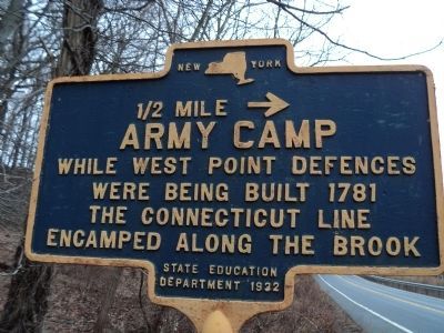
Photographed by Bill Coughlin, January 16, 2014
1. Army Camp Marker
were being built 1781
the Connecticut Line
encamped along the brook.
Erected 1932 by New York State Education Department.
Topics. This historical marker is listed in this topic list: War, US Revolutionary. A significant historical year for this entry is 1781.
Location. 41° 24.45′ N, 73° 56.01′ W. Marker is in Philipstown, New York, in Putnam County. It is on Bear Mountain Beacon Hwy (New York State Route 9D) south of Beverly Warren Road, on the right when traveling north. Marker is located about 1½ miles south of Cold Spring. Touch for map. Marker is in this post office area: Cold Spring NY 10516, United States of America. Touch for directions.

Regionally, this marker is in Upstate New York, specifically in the Hudson Valley, and in the New York City Metropolitan Area. It is also in the American Northeast, in the Mid-Atlantic, and on the Eastern Seaboard. Globally, it is in the North Atlantic Region, North America, the Western Hemisphere, the Western World, and the Anglosphere. Historically, it finds itself in what was once New Netherland and also one of the original Thirteen
this page online
Other nearby markers. At least 8 other markers are within walking distance of this marker: Redoubt 5 (approx. 0.9 miles away); Gravel Hill Battery (approx. 0.9 miles away); West Point Foundry Archaeological Site (approx. 0.9 miles away); The West Point Foundry (approx. 0.9 miles away); From Forest to Factory to Forest (approx. 0.9 miles away); The 1865 Office Building (approx. 0.9 miles away); Boring Mill Overlook (approx. 0.9 miles away); Foundry Brook (approx. one mile away). Touch for a list and map of all markers in Philipstown.
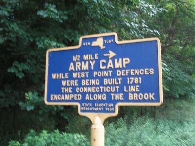
Photographed by Bill Coughlin, July 10, 2009
2. Army Camp Marker
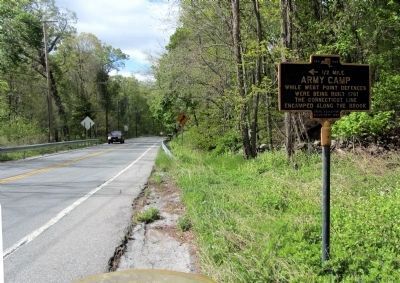
Photographed by Clifton Patrick, April 27, 2012
3. Army Camp Marker looking north along NYS Rte. 9D.
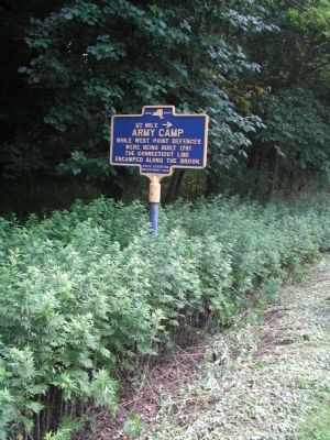
Photographed by Bill Coughlin, July 10, 2009
4. Army Camp Marker
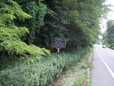
Photographed by Bill Coughlin, July 10, 2009
5. Marker on Bear Mountain Beacon Hwy
This photo is looking south on Route 9D.
Credits. This page was last revised on June 16, 2016. It was originally submitted on July 10, 2009, by Bill Coughlin of Woodland Park, New Jersey. This page has been viewed 947 times since then and 31 times this year. Photos: 1. submitted on January 17, 2014, by Bill Coughlin of Woodland Park, New Jersey. 2. submitted on July 10, 2009, by Bill Coughlin of Woodland Park, New Jersey. 3. submitted on April 30, 2012, by Clifton Patrick of Chester, NY, United States. 4, 5. submitted on July 10, 2009, by Bill Coughlin of Woodland Park, New Jersey.
