Corydon in Harrison County, Indiana — The American Midwest (Great Lakes)
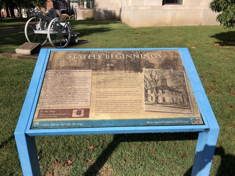
Stately Beginnings
Corydon lies in a valley between Big Indian and Little Indian creeks. The land had been purchased in 1804 by William Henry Harrison, who was then governor of the Indiana Territory. He sold the land to Harvey Heth, who platted Corydon in 1808. Harrison suggested the name of the town after a character in his favorite song, The Pastoral Elegy.
The Ordinance of 1785 stated that land would be divided into townships six miles square to be divided into 36 equal sections. Section 16 was reserved to support public schools. This system of section and township numbering is still in use today. The Northwest Ordinance, enacted by Congress in 1787, defined how states could be formed from the vast Northwest Territory. In 1803, the eastern part of the territory became Ohio, and the western part was called the Indiana Territory, with Vincennes as its capital.
When the territory reached a population of 5,000 white men in 1805, the people elected a House of Representatives. Among the territorial congressmen was Jonathan Jennings, who petitioned the 1811 Congress to pass an enabling act to establish Indiana statehood. Because of the War of 1812, it wasn't until 1816 that Jennings' petition was granted, and delegates were chosen for a constitutional convention to be held at Corydon. In 1813, Corydon had become the territorial capital, chosen because it was closer to the residences of many Hoosiers who opposed the governor and his supporters.
Indiana was admitted to the Union on December 11, 1816, and Jonathan Jennings was chosen as the first governor. Corydon remained the capital until 1825, when it was moved to Indianapolis.
Corydon has many buildings from its capital days, including the original capitol building, a limestone building with walls two and a half feet thick and a stone floor. The Governor's Headquarters and the state's first treasury building are also located here. The town square is part of a State Historic Site, which is presently open to the public. Most of Corydon's downtown is listed on the National Register of Historic Places.
By the Way: Indiana was the nineteenth state to be admitted to the Union.
Erected by Ohio River Scenic Byway.
Topics. This historical marker is listed in these topic lists: Government & Politics • Political Subdivisions • Settlements & Settlers. A significant historical year for this entry is 1804.
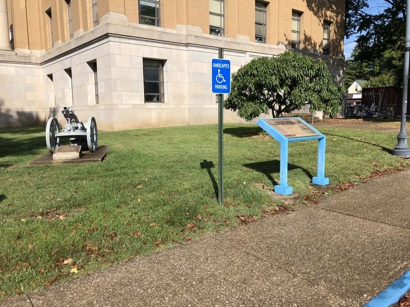
Location. 38° 12.71′ N, 86° 7.531′ W. Marker is in Corydon, Indiana, in Harrison County. Marker is on North Elm Street north of East Beaver Street, on the left when traveling north. Marker is on the east (back) side of the Harrison County Courthouse. Touch for map. Marker is at or near this postal address: 300 N Capitol Ave, Corydon IN 47112, United States of America. Touch for directions.
Other nearby markers. At least 8 other markers are within walking distance of this marker. World War I (here, next to this marker); In Honor Of The Men from Harrison County (a few steps from this marker); Harrison County (a few steps from this marker); Corydon Convention Of Freemasons (within shouting distance of this marker); Polly Strong Slavery Case (within shouting distance of this marker); Conrad Music Service (within shouting distance of this marker); Blaine H. Wiseman Visitors Center (within shouting distance of this marker); Downtown Corydon (within shouting distance of this marker). Touch for a list and map of all markers in Corydon.
Credits. This page was last revised on October 2, 2022. It was originally submitted on October 2, 2022, by Duane and Tracy Marsteller of Murfreesboro, Tennessee. This page has been viewed 113 times since then and 19 times this year. Photos: 1, 2. submitted on October 2, 2022, by Duane and Tracy Marsteller of Murfreesboro, Tennessee.

