Elkhart in Anderson County, Texas — The American South (West South Central)
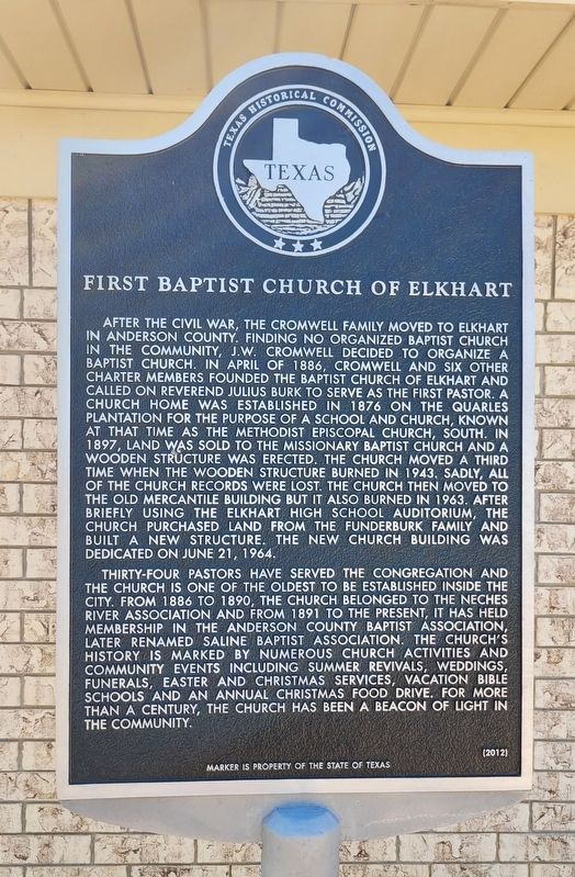
First Baptist Church of Elkhart
Photographed by James Hulse, September 26, 2022
1. First Baptist Church of Elkhart Marker
Thirty-four pastors have served the congregation and the church is one of the oldest to be established inside the city. From 1886 to 1890, the church belonged to the Neches River Association and from 1891 to the present, it has held membership in the Anderson County Baptist Association, later renamed Saline Baptist Association. The church's history is marked by numerous church activities and community events including summer revivals, weddings, funerals, Easter and Christmas services, Vacation Bible Schools and an annual Christmas food drive. For more than a century, the church has been a beacon of light in the community.
Erected 2012 by Texas Historical Commission. (Marker Number 17177.)
Topics. This historical marker is listed in this topic list: Religion & Religious Structures. A significant historical month for this entry is April 1886.
Location. 31° 37.304′ N,
this page online

Regionally, this marker is in the American South and in the Piney Woods. Globally, it is in North America, a Gulf of Mexico state, the Western Hemisphere, the Western World, and the Anglosphere. Historically, it finds itself in what was once New Spain, the Republic of Texas, one of the Confederate States of America, and the Antebellum South.
Other nearby markers. At least 8 other markers are within 2 miles of this marker, measured as the crow flies: Pilgrim Predestinarian Regular Baptist Church (approx. 0.2 miles away); Site of Henry High School (approx. 0.4 miles away); First United Methodist Church Of Elkhart (approx. half a mile away); Replica of Pilgrim Church (approx. 2 miles away); Old Pilgrim Church (approx. 2 miles away); In Honor of the Veterans Buried at Pilgrim
Photographed by James Hulse, September 26, 2022
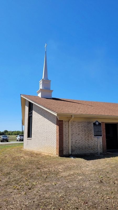
2. The front of the First Baptist Church of Elkhart and Marker
Also see . . . Elkhart, TX. Texas State Historical Association
Elkhart is at the intersection of State Highway 294 and U.S. Highway 287, eleven miles south of Palestine in southern Anderson County. In 1851 members of Daniel Parker's Pilgrim community moved to land around Boxy Creek to take advantage of the new post office and a newly established railroad. With the efforts of a friendly Indian, the newcomers settled into a community that continued to survive. They named the town after the Indian. A nearby spa served many socialites with its excellent mineral waters.(Submitted on October 2, 2022, by James Hulse of Medina, Texas.)
Photographed by James Hulse, September 26, 2022
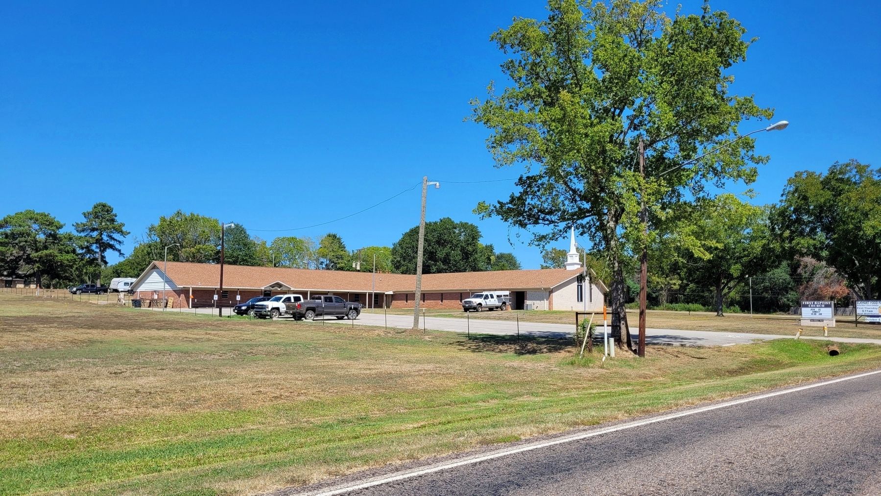
3. The view of the First Baptist Church of Elkhart from across the street
Credits. This page was last revised on October 2, 2022. It was originally submitted on October 2, 2022, by James Hulse of Medina, Texas. This page has been viewed 643 times since then and 71 times this year. Photos: 1, 2, 3. submitted on October 2, 2022, by James Hulse of Medina, Texas.
