Axtell Park in Sioux Falls in Minnehaha County, South Dakota — The American Midwest (Upper Plains)
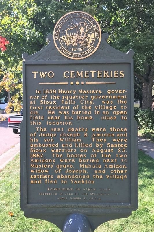
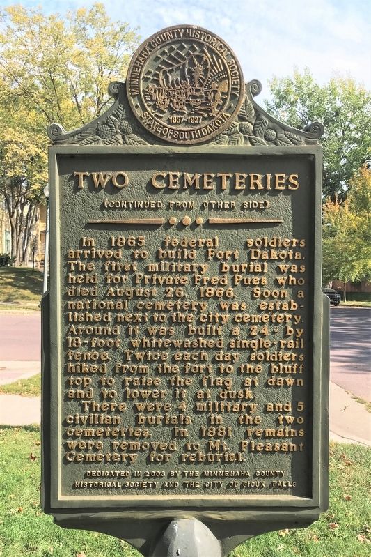
Two Cemeteries
The next deaths were those of Judge Joseph B. Amidon and his son William. They were ambushed and killed by Santee Sioux warriors on August 25, 1862. The bodies of the two Amidons were buried next to Masters' grave. Mahala Amidon, widow of Joseph, and other settlers abandoned the village and fled to Yankton.
In 1865 federal soldiers arrived to build Fort Dakota. The first military burial was held for Private Fred Pues who died August 26, 1866. Soon a national cemetery was established next to the city cemetery. Around it was built a 24- by 18-foot whitewashed single-rail fence. Twice each day soldiers hiked from the fort to the bluff top to raise the flag at dawn and to lower it at dusk.
There were 4 military and 5 civilian burials in the two cemeteries. In 1881 remains were removed to Mt. Pleasant Cemetery for reburial.
Erected 2003 by the descendants of Judge Joseph B. Amidon, the Minnehaha County Historical Society and the City of Sioux Falls.
Topics. This historical marker is listed in these topic lists: Cemeteries & Burial Sites • Forts and Castles. A significant historical year for this entry is 1859.
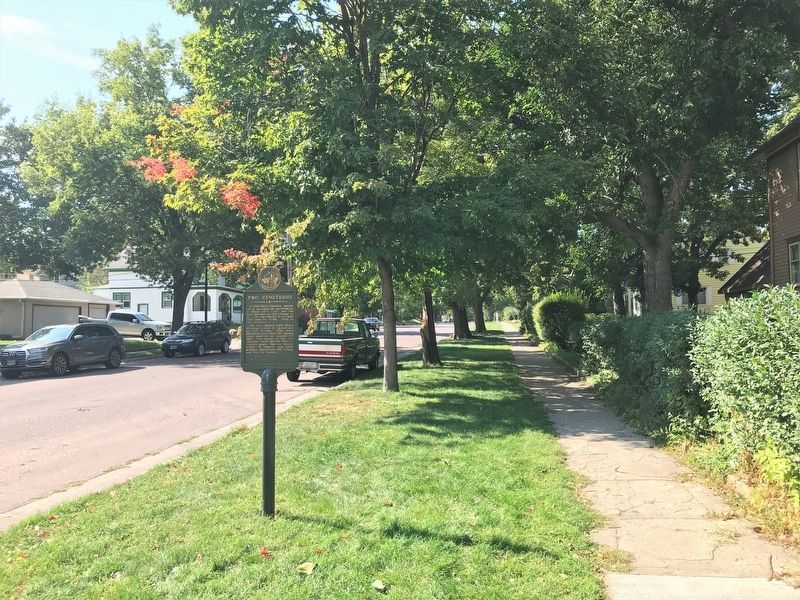
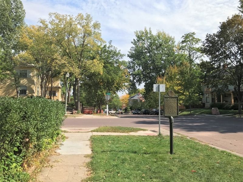
Location. 43° 32.999′ N, 96° 44.064′ W. Marker is in Sioux Falls, South Dakota, in Minnehaha County. It is in Axtell Park. Marker is at the intersection of West 7th Street and North Duluth Avenue, on the right when traveling west on West 7th Street. Touch for map. Marker is at or near this postal address: 301 N Duluth Ave, Sioux Falls SD 57104, United States of America. Touch for directions.
Other nearby markers. At least 8 other markers are within walking distance of this marker. 215 N Duluth Avenue (within shouting distance of this marker); Kaufmann House Mystery (about 300 feet away, measured in a direct line); Cathedral Historic District / Paving Stone Alley (about 400 feet away); Quartzite Paving Stones (about 500 feet away); U.S. Senator R.F. Pettigrew (about 600 feet away); Prehistoric Prayer Rock (about 600 feet away); Congregation Sons of Israel (approx. 0.2 miles away); Martin Luther King (approx. 0.2 miles away). Touch for a list and map of all markers in Sioux Falls.
Credits. This page was last revised on February 16, 2023. It was originally submitted on October 3, 2022. This page has been viewed 138 times since then and 17 times this year. Photos: 1, 2, 3, 4. submitted on October 3, 2022.


